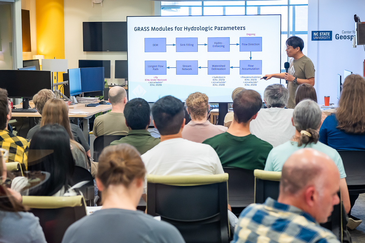
Webcams as Data Sources about Healthy Living and Urban Design
New research led by Dr. Aaron Hipp (Center for Geospatial Analytics faculty fellow and Associate Professor of Community Health and Sustainability in the Department of Parks, Recreation, and Tourism Management) shows that streaming public webcams—now so abundant in our modern cities—can provide rich evidence for the ways our urban environments impact our daily lives, particularly our behavior navigating those environments.
“Lack of safe places to walk and bicycle and lack of access to parks and open space can impact the frequency, duration, and quality of physical activity available to residents in urban settings,” Aaron and his colleagues report, in a chapter appearing in the new book Seeing Cities Through Big Data. Whether activity is recreational (such as jogging) or part of daily life (like walking to a bus stop), they say, the arrangement of the urban environment will shape how people are active.
Documenting how urban design affects behavior, though, can be a challenge, especially over long time periods and large areas. Streaming public webcams offer a solution. In their innovative study published this month by Springer, Aaron and his colleagues describe their use of an enormous online dataset, and a crowdsourcing platform offered by Amazon.com, to discover how these tools can track the effects of city improvements.
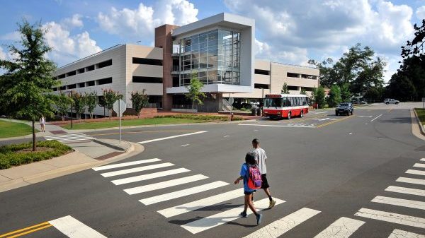
The Archive of Many Outdoor Scenes, or AMOS for short, has been collecting images from up to 36,000 webcams worldwide every thirty minutes since 2006, so far totaling over one billion photos. With AMOS data, researchers can ask and answer a multitude of research questions about outdoor space, including how the configuration of that space is advantageous (or disadvantageous) for use by pedestrians and bicyclists. As a case study, Aaron and his team chose to look at views of Pennsylvania Avenue in Washington, D.C., before and after a bike lane installation in 2010, using footage from a webcam pointed at the site and operated by the city’s Department of Transportation.
Scrutinizing hundreds, or even thousands, of photos to detect changes in a city is a sizable task. To see if harnessing the time and skill of citizens at large could be a useful option, the researchers asked users of Amazon’s Mechanical Turk (MTurk) pennies-per-task website to draw a box around each pedestrian, bicyclist, and vehicle in study images. They then compared the reliability of these identifications to those made by project personnel.
Comparing images prior to and after the D.C. road’s renovation, the research team detected a sizable jump in bicycle presence. Also, using MTurk “proved to be a reliable, valid, inexpensive, and quick method for annotating street scenes captured by public, online webcams,” Aaron and the team learned. Their findings open the door for future crowdsourcing opportunities and use of webcam data to track changes in physical activity, in response to changes across urban environments. “These are scalable methods,” Aaron explains, useful for measuring “built environment, walkability, and physical activity” in many more applications to come.