Nov 15, 2017
The Center for Geospatial Analytics is partnering with the Lenovo Artificial Intelligence Innovation Center to leverage AI and geospatial image analysis to preemptively identify agricultural areas and crops that will be affected by flooding or droughts.
Nov 14, 2017
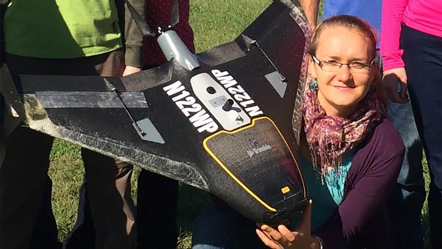
Research associate Justyna Jeziorska contributes significantly to Unmanned Aerial Systems research and teaching at the Center for Geospatial Analytics and is the center’s first certified UAS Mapping Scientist.
Nov 10, 2017
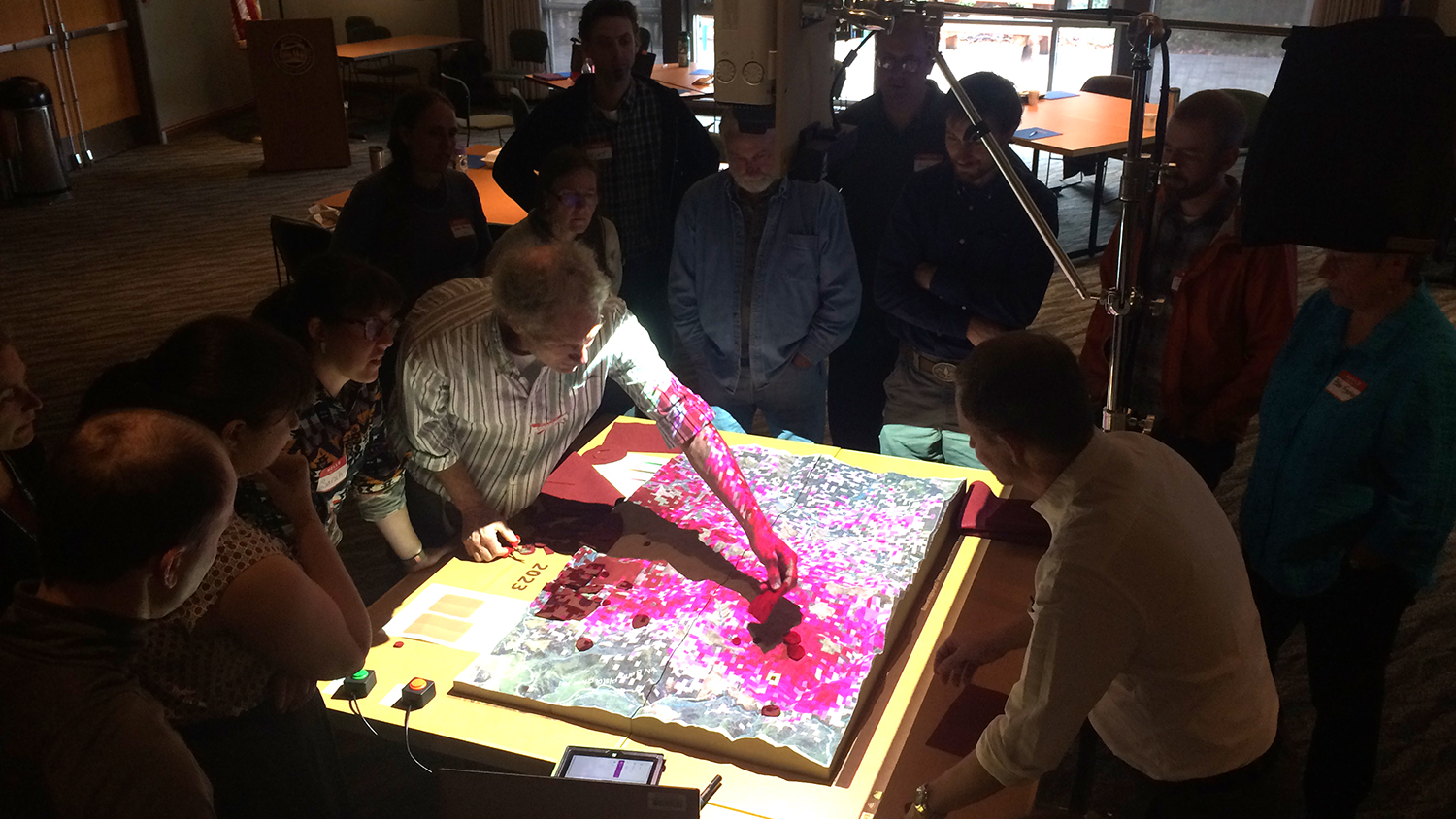
Devon Gaydos, Ph.D. student in the Department of Forestry and Environmental Resources, is using tangible user interfaces designed by the Center for Geospatial Analytics to help Oregon stakeholders fight infectious forest disease.