For Drone Research and Training at NC State, the Sky’s the Limit
The Center for Geospatial Analytics at NC State University is gaining increasing recognition for revolutionary research and training programs in Unmanned Aerial Systems that leverage the latest drone and imagery processing technologies to address real-world challenges. Learn how you can take advantage of these programs to expand your own skillsets in UAS.
Opportunities for students
Already a student at NC State? Enroll in the special topics course “UAS Mapping for 3D Modeling,” co-taught by the center’s associate director of geovisualization Helena Mitasova (professor in the Department of Marine, Earth and Atmospheric Sciences) and research associate Justyna Jeziorska. Jeziorska is among the first recipients of the UAS Mapping Scientist Certification offered by the American Society for Photogrammetry and Remote Sensing. A geographer, cartographer and Geospatial Information Science specialist, Jeziorska plays a key role in developing UAS training and research at the center.
Students in the special topics course learn a variety of subjects through a combination of lectures, activities and independent projects, including: UAS operations, photogrammetry, flight planning, imagery processing, data fusion, 3D modeling and immersive geovisualization. The course is offered both on campus and online through NC State’s Online and Distance Education.
Opportunities for working professionals
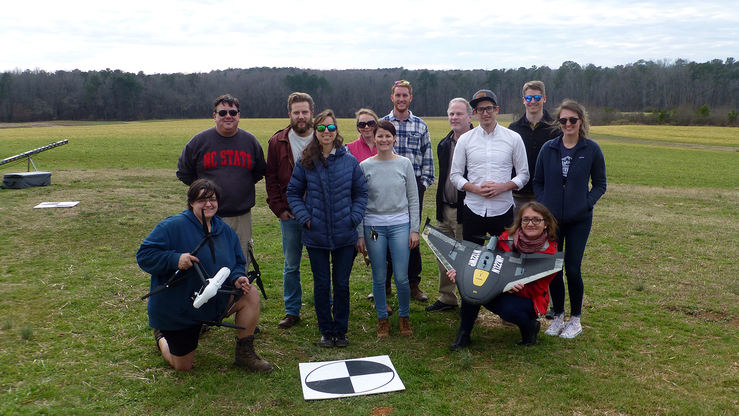
Have a drone or plan to purchase one? Have drone data but aren’t sure how to use them? Learn how to buy, fly and use a drone at a UAS Operations and Analytics Workshop, offered each fall and spring at NC State and co-sponsored by the Center for Geospatial Analytics and NC State’s NextGen Air Transportation (NGAT). The three-day workshop is co-taught by Justyna Jeziorska and Thomas Zajkowski, flight operations manager at NGAT.
At the workshop, participants receive hands-on training for drone flight operations and for advanced data processing. “This workshop is a very good learning tool for beginners and intermediate users of UAVs,” says Cynthia Garcia, a Texas-based cartographer who attended the workshop last fall. “Every topic is covered thoroughly and explained to detail. The instructors have years of experience in this topic and its applications.”
The registration fee covers personalized instruction from our experts and lunch for three days on campus in Raleigh. Sample data, software and workstations are provided. Participants are also welcome to bring their own laptop and data.
The next offering of the workshop is March 6 – 8, 2018. Learn more by visiting the workshop website: geospatial.ncsu.edu/uas-workshop
Opportunities for emerging research
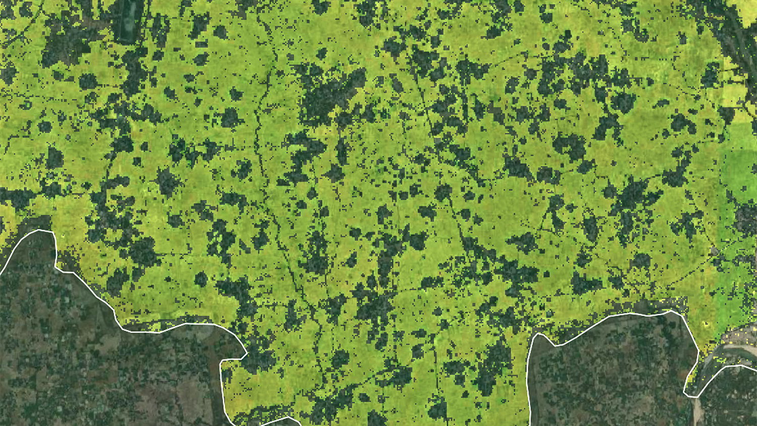
In addition to keeping students and professionals at the cutting edge of emerging technology and techniques, scientists at the Center for Geospatial Analytics conduct research with drones to improve terrain analysis and solve pressing problems. For example, Jeziorska works with center faculty fellow Joshua Gray (assistant professor in the Department of Forestry and Environmental Resources) on a UAS data project for the North Carolina Department of Transportation. NCDOT uses a Wetland Predictive Modeling tool to help identify the location and extent of wetlands along potential road corridors. In collaboration with NCDOT, the NC State team is exploring possibilities for using UAS-acquired data to increase model accuracy, in the hopes of reducing the cost and improving the outcome of road planning projects and wetland protection.
The center welcomes additional collaborations to leverage drones and drone-acquired imagery to address real-world challenges. With expertise and partnerships building among UAS researchers and practitioners at NC State, the Center for Geospatial Analytics is emerging as a go-to hub for data-driven solutions using UAS.
- Categories: