National Park Service Honors Center Web Mapping Team
The Inventory and Monitoring Division of the National Park Service (NPS) recently honored a team from the Center for Geospatial Analytics and their partners with a 2017 Science Management Partner Award. According to Kirsten Gallo, Chief of the NPS Inventory and Monitoring Division, this award is bestowed to “network and park staff for collaborative work that results in significant, creative and effective management products and outcomes.”
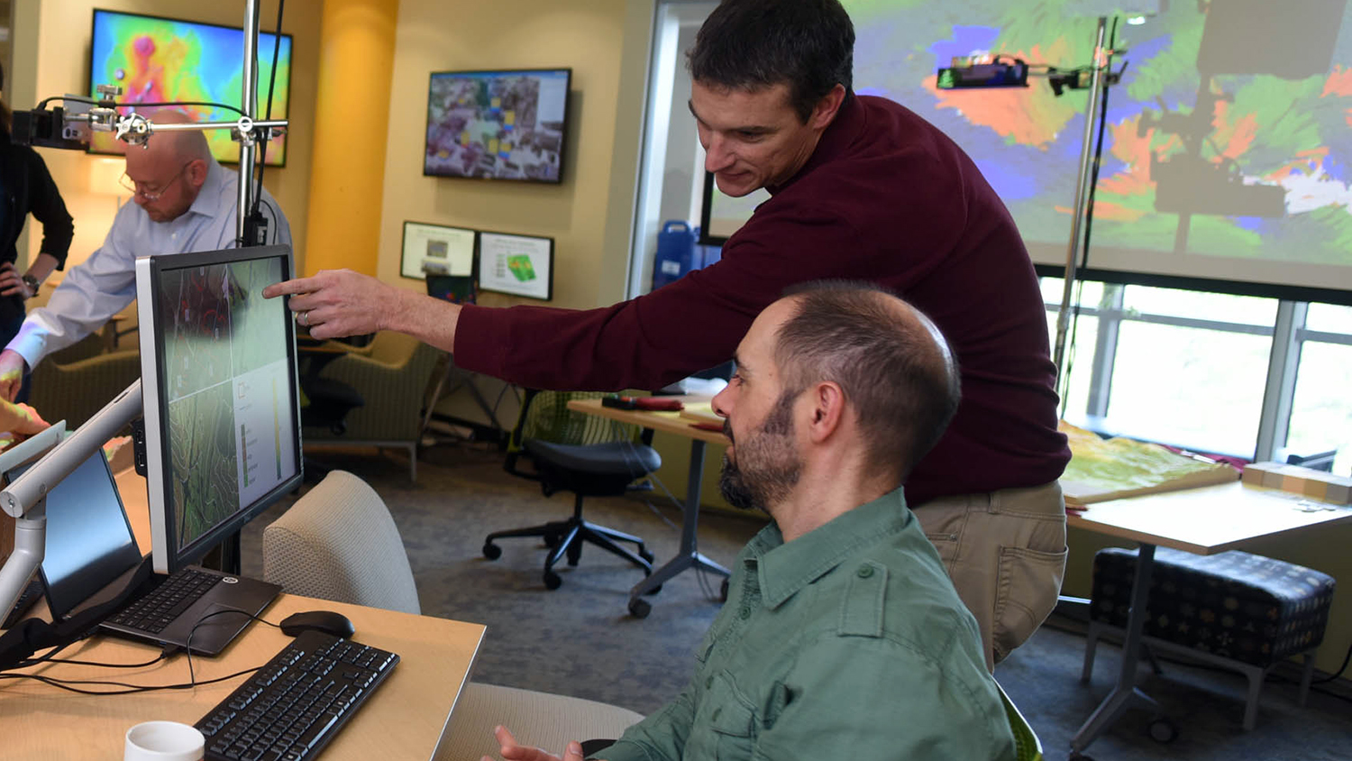
The Center for Geospatial Analytics team––research associate Justin Shedd, research assistant Makiko Shukunobe and faculty fellow Jelena Vukomanovic––worked with NPS units within the Mid-Atlantic Inventory and Monitoring Network to develop ArcGIS Online web maps that enable users in the field, parks, and regional offices to quickly access and manage data from a variety of sources. According to the award announcement, this resulted in “a single platform where resource managers and support staff can access network monitoring information, management actions by Exotic Plant Management Teams and fire-related data such as wildland or prescribed fire and fuel treatments. Staff can now see maps of management actions taking place at parks, and they also are able to efficiently collect data on treatments.”
Over the course of approximately 18 months, the Center for Geospatial Analytics team gathered and formatted data for nine national parks from central Virginia to southeast Pennsylvania. The main goal was to improve the ease and timeliness of information sharing. “The Mid-Atlantic Inventory and Monitoring Network wanted to develop a way to facilitate communication between regional scientists and park-level managers,” says Shedd, who served as liaison to the National Park Service and project manager for the center, as well as created the final web maps. Through Shedd’s interviews of NPS natural resource managers, it became clear that web maps were the best option to integrate existing workflows and provide an optimal interface for focusing future management actions and collecting new data.
The web maps contain several years of information about prescribed fires, wildland fires, and exotic pest treatments, as well as the locations of Inventory and Monitoring plots, which are surveyed regularly to monitor signs of aquatic and terrestrial ecosystem health. Field personnel can use mobile devices to upload new information to the maps, including the locations of rare or endangered species, potential hazards or exotic species infestations. Park staff can also upload their own data layers of interest, ensuring that the web maps will remain timely for years to come.
The 2017 Science Management Partner Award recognizes collaboration among the following partners: NPS Mid-Atlantic Inventory and Monitoring Network, network parks, NPS Wildland Fire, NPS Exotic Plant Management Teams, NPS Natural Resource Stewardship and Science Northeast Regional Office, and North Carolina State University’s Center for Geospatial Analytics.
Congratulations to the awardees!


