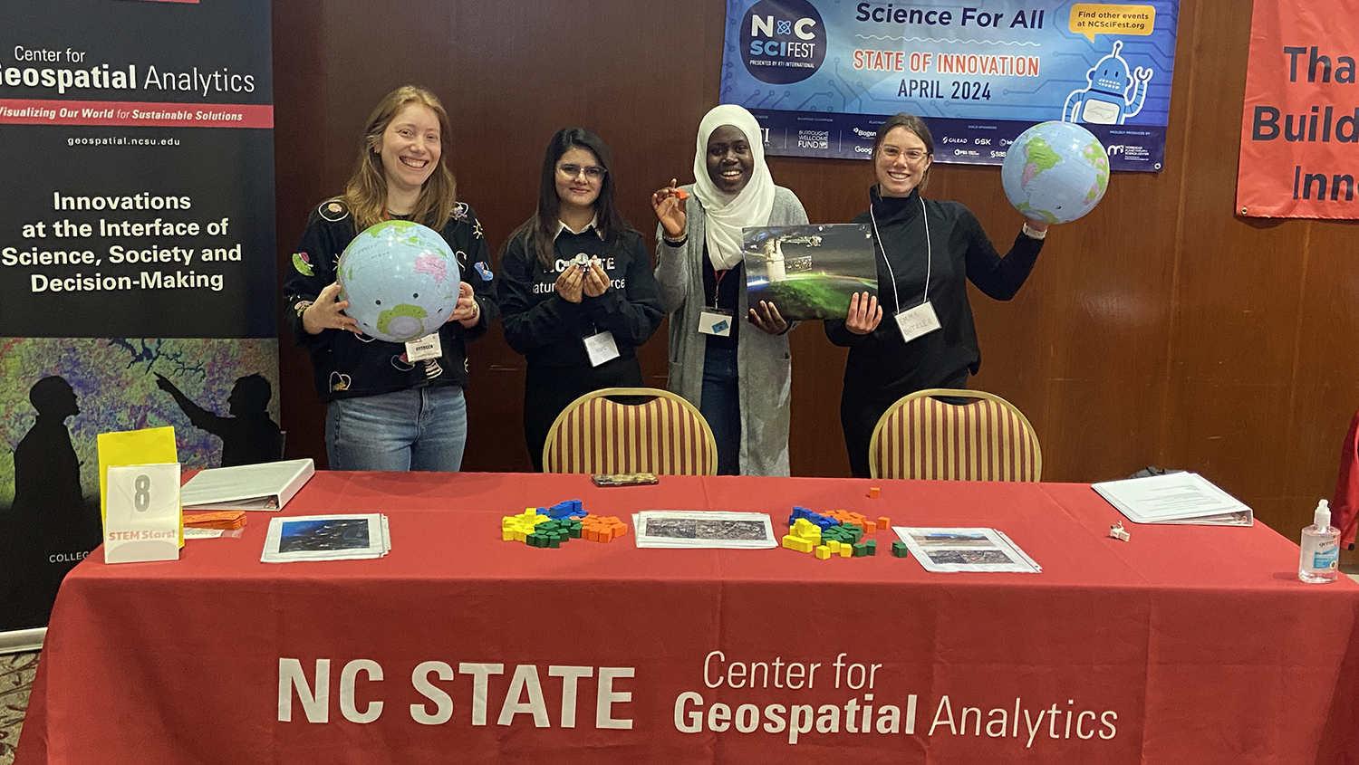
“I Use Geospatial Analytics To…”
In Fall 2018, the Center for Geospatial Analytics welcomed its first cohort of over a dozen Geospatial Analytics Ph.D. students, eager to dive into courses and research. Geospatial analytics is a branch of data science that spans a myriad of disciplines, and so our students’ research interests are as unique as they are!
Curious about what our students work on for their dissertations? Check out how they and their Faculty Fellow advisors use geospatial analytics:
“I use geospatial analytics to…”

“…create metrics to assess the frequency of cyanobacterial harmful algal blooms in inland lakes using satellite remote sensing.”
Megan Amanatides
Advisor: Helena Mitasova

“…develop a specialized AI and deep learning framework for dynamic spatial-temporal models in landscape forecasting, detection and advance prediction.”
Umesh Gupta
Co-advisors: Raju Vatsavai and Ross Meentemeyer

“…understand how communities recover from disasters by measuring social cohesion and social vulnerability factors.”
Byron Ifediora
Advisor: Bethany Cutts
Our current students are funded by a mix of program support and external grants or partnerships with organizations such as NASA, Wake County, the National Park Service and more. And all of our Geospatial Analytics Ph.D. students are fully funded for four years.
“I use geospatial analytics to…”
“…develop decision support tools for fire management in national parks.”
Nicole Inglis
Advisor: Jelena Vukomanovic

“…model watersheds and water quality to assess eutrophication trends under historical and projected scenarios.”
Kimia Karimi
Advisor: Dan Obenour

“…understand the effects of emerging infectious diseases on forest ecosystems.”
Nicholas Kruskamp
Co-advisors: Ross Meentemeyer and Josh Gray
The Faculty Fellows advising our current students have academic homes in the Departments of Civil, Construction and Environmental Engineering; Parks, Recreation and Tourism Management; Forestry and Environmental Resources; Computer Science; Marine, Earth and Atmospheric Sciences; and more! In total, the Faculty Fellows program unites experts from a dozen academic departments and five colleges across NC State University.
“I use geospatial analytics to…”

“…estimate population density and land cover changes under urban growth, urbanization and climate change scenarios.”
Zekun Lin
Co-advisors: Ross Meentemeyer and Adam Terando

“…develop geostatistical models to study large-scale aquatic systems (e.g., model hypoxia in the Gulf of Mexico) with limited available in situ data.”
Venkata Matli
Advisor: Dan Obenour

“…produce natural resource management agency recommendations addressing gaps between current and future geospatial data administration strategies.”
Jason Matney
Co-advisors: Stacy Nelson and Stacy Supak
Although they have varied research interests, all new Geospatial Analytics Ph.D. students share a core set of six courses that unite them in their academic journey, beginning with GIS 710: Geospatial Analytics for Grand Challenges.
“I use geospatial analytics to…”

“…develop and evaluate geovisualization technologies for the support of spatial thinking, learning, decision making and problem solving.”
Garrett Millar
Advisor: Helena Mitasova
“…develop metrics for managing agricultural crop stressors at multiple scales.”
Kellyn Montgomery
Advisor: Helena Mitasova

“…create data visualization and big data analytics for sustainable development.”
Vishnu Nanda
Co-advisors: Perver Baran and Laura Tateosian
As they move through their program, Geospatial Analytics Ph.D. students also engage with experts in industry, government and other organizations through an off-campus externship, enhancing their experiential learning and expanding their professional network.
“I use geospatial analytics to…”
“…develop automated processing techniques to analyze passive acoustic data collected in marine environments.”
Shannon Ricci
Advisor: Del Bohnenstiehl

“…develop and evaluate new methods of analysis for the Conservation and Outdoor Recreation Branch of the National Park Service.”
Ruixue Wang
Advisor: Aaron Hipp

“…develop a serious game (TomorrowNow) using participatory modeling to inform decisions in smart and connected communities.”
Corey White
Co-advisors: Ross Meentemeyer and Helena Mitasova
Interested in joining this talented group? The application deadline for our Ph.D. program in Geospatial Analytics is February 1! Contact our Graduate Services Coordinator, Rachel Kasten, with any questions or to connect with a potential advisor.
- Categories: