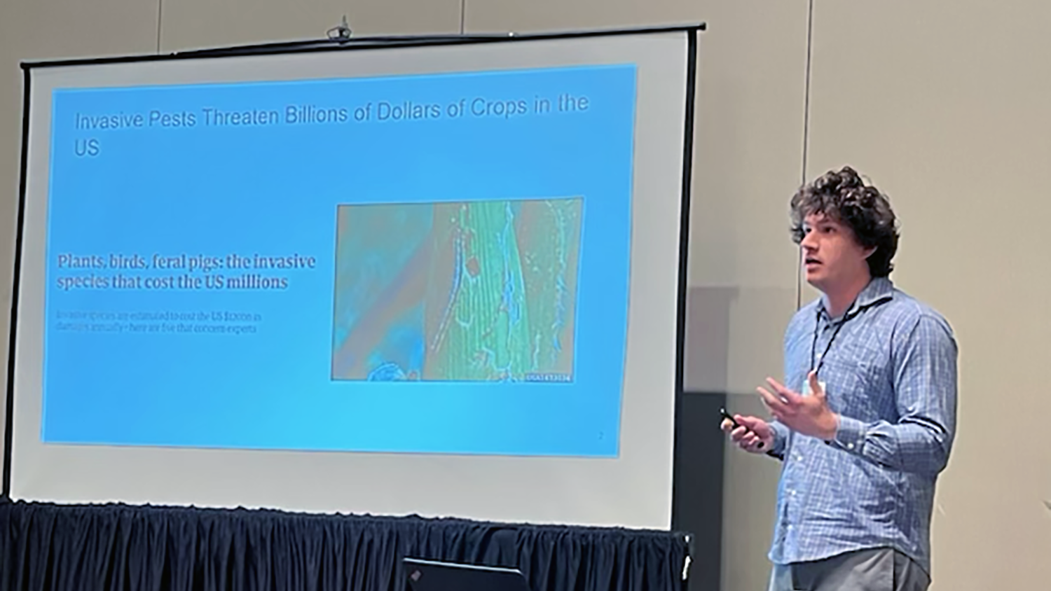
Student Travel: Delving into Precision Agriculture at AGU
Editor’s note: Each semester, students in the Geospatial Analytics Ph.D. program can apply for a Geospatial Analytics Travel Award that supports research travel or presentations at conferences. The following is a guest post by travel award winner Kellyn Montgomery, a first-year doctoral student, as part of the Student Travel series.
Geospatial analytics for solving agriculture’s dual production-conservation challenge
As a graduate student researcher, I recently had the chance to co-present a poster with Research Associate Justyna Jeziorska at the American Geophysical Union (AGU) 2018 Fall Meeting in Washington, D.C. The meeting was a great fit for my research, which looks at the relationship between an agricultural landscape’s physical characteristics and crop productivity.
As the human population continues to grow, the need to feed more people with less land and fewer natural resources will require agricultural intensification. Agriculture, however, can put quite a strain on the environment through habitat loss, freshwater nutrient loading, groundwater depletion, soil degradation and carbon emissions. To support the need for increased productivity while minimizing environmental degradation, conservation efforts need to increase at the same time.
“Precision agriculture” has emerged as a promising management strategy that leverages spatial technologies to maximize crop yields by tailoring the use of inputs such as water and fertilizer across an agricultural landscape. Meanwhile, “conservation agriculture” is a set of soil management practices used to prevent erosion, increase water infiltration, increase soil fertility and promote biodiversity. A hybrid strategy blending precision and conservation agriculture uses spatial technologies to decrease soil loss and nutrient runoff while maximizing yields. Precision conservation agriculture will be an important management strategy for addressing the dual production-conservation challenge into the future.
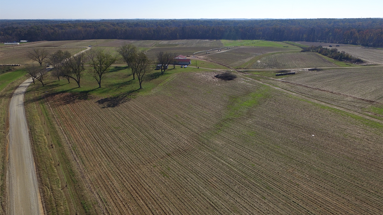
Unmanned aerial systems (UAS, or drones) are valuable tools for precision conservation. They can be used to take high-resolution orthophotos as well as generate 3D models of landscapes, so farmers can get precise information about vegetation height and erosional events like gully formations. Because UAS are deployed “on demand,” data collection can be timed with important events during crop development, intense rainfall, drought or high pest pressure.
Researchers at the Center for Geospatial Analytics have been collecting UAS data at an agricultural site used to grow a rotation of grain sorghum, corn and orchard grass since 2014. The dataset spans not only multiple years but also multiple months within individual growing seasons, providing an opportunity to examine how the site’s topography affects crop development patterns.
As part of our ongoing research, Justyna and I computed a number of topographic parameters like slope, water flow and cumulative solar radiation (i.e., the total amount of sunlight a particular spot receives) to look at the relationship between topography and relative crop heights over four years. We found that the interaction between topography and crop height is complex, but preliminary results show that overland water flow and cumulative solar radiation, both controlled by topography, are consistently important variables for explaining crop height.
Topographic spatial analysis like this can identify areas on a farm with lower production potential and high vulnerability to erosion and nutrient runoff. Low-performing areas might have more value as conservation buffers planted with permanent vegetation, for example, to reduce erosion and provide habitat for pollinators and natural pest predators.
At the AGU Fall Meeting, researchers from all over the world showcased their work exploring smart farming applications aimed at increasing the productivity and sustainability of agriculture. This research highlighted the challenges and opportunities for using UAS and other remote sensing platforms for agricultural applications like drought monitoring, yield estimation and pest management. As a Ph.D. student, hearing from these researchers helped me understand how my skills in geospatial analytics contribute to the greater scientific community working to solve the grand challenges of food security and natural resource conservation.
- Categories: