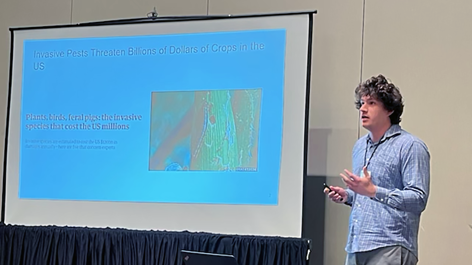
Student Travel: Rethinking Boundaries at the Human Dimensions of Wildfire Conference
Editor’s note: Each semester, students in the Geospatial Analytics Ph.D. program can apply for a Geospatial Analytics Travel Award that supports research travel or presentations at conferences. The following is a guest post by travel award winner Nicole Inglis, a first-year doctoral student, as part of the Student Travel series.
Rethinking boundaries at the Human Dimensions of Wildfire Conference
A wildfire faces some boundaries: its preferred fuels can be abundant or scarce, and lightning can strike or rain can fall in one place and not another. But a wildfire doesn’t care whose land it burns. It doesn’t care who steps out into the field to suppress it. It doesn’t care about wildlife habitat. It doesn’t recognize many of the boundaries we as researchers, land managers and citizens have to face.
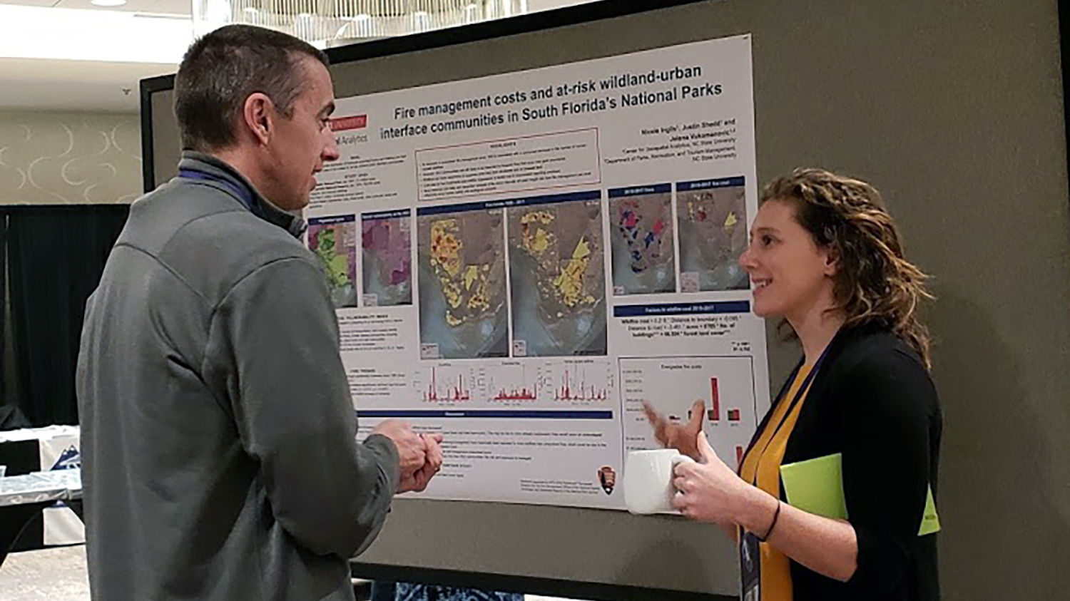
The key to working with boundaries in fire management is recognizing and talking about them. Thanks to the Center for Geospatial Analytics Fall 2018 Travel Award, I had the opportunity to do so during the 5th annual Human Dimensions of Wildfire Conference in Asheville, NC. At the conference, which is presented by the International Association of Wildland Fire (IAWF), I also presented the poster “Fire management costs and at-risk wildland-urban interface communities in South Florida’s National Parks.”
One of the most illuminating aspects of the conference was an interactive workshop called “Crossing Boundaries of Wildfire Management in the US.”
As an interdisciplinary researcher with a diverse background, I found the prospect of talking about boundaries intriguing. One major boundary was staring me in the face from the moment we broke into groups and introduced ourselves: This was a room full of social scientists and fire professionals. I’m a spatial data scientist with a focus on landscape ecology. At first, the stark contrast in research areas, approaches and frameworks loomed over me. Would I be able to contribute meaningfully to the discussion? Will my ideas make sense to researchers from other disciplines? Do I even have the right vernacular with which to communicate with my group?
It turns out that this was one of the very issues that emerged from our discussions. There is a divide between research and management, as well as among research disciplines, and there is a lot of focus in the field on bridging that divide. Because managing fires involves processes from human cognition all the way up to climatic change, workshops like these are an important step in dissolving boundaries among disciplines and professions.
The obvious boundaries are political: jurisdictional lines, plainly drawn on maps. But less apparent are the classic social boundaries: socioeconomic class, cultural heritage and language. There are the established ecological boundaries of land cover, dominant vegetation, wildlife ranges and human use.
And there are several types of boundaries that I hadn’t considered before, such as the hierarchical divides within agencies, or the different ways people consider risk. There are also scalar boundaries: a divide in the way we conceptualize organism-level knowledge in the context of landscape scale or cultural knowledge.
When reflecting on how this workshop relates to my current research on fire management in Everglades National Park and Big Cypress National Preserve, I realized that while fires may not have to worry about some of these boundaries, managers and researchers do. Ignoring them doesn’t make them disappear. I thought about the boundaries that may be shaping my work and how I might better recognize and address them. How are the parks’ jurisdictional boundaries influencing my data collection and analysis? How can I better communicate with the National Park Service staff? How might an agricultural community respond to a fire management technique differently than a Native American tribe?
The Everglades and Big Cypress systems have a unique set of boundary challenges, and I’m excited to apply this newfound perspective to my research.
Acknowledgements
Thank you to the workshop leaders, Maureen Essen (USFS), Max Nielsen-Pincus (Portland State University), Dan Williams (USFS), Jesse Abrams (University of Georgia), Anne-Lise Velez (Virginia Tech) and Honey Minkowicz (NC State). Research supported by the NPS-CESU Agreement “Geospatial Analytics for the Fire Management Offices of the National Capital, Northeast, and Southeast Regions of the National Park Service.”
- Categories: