May 2019
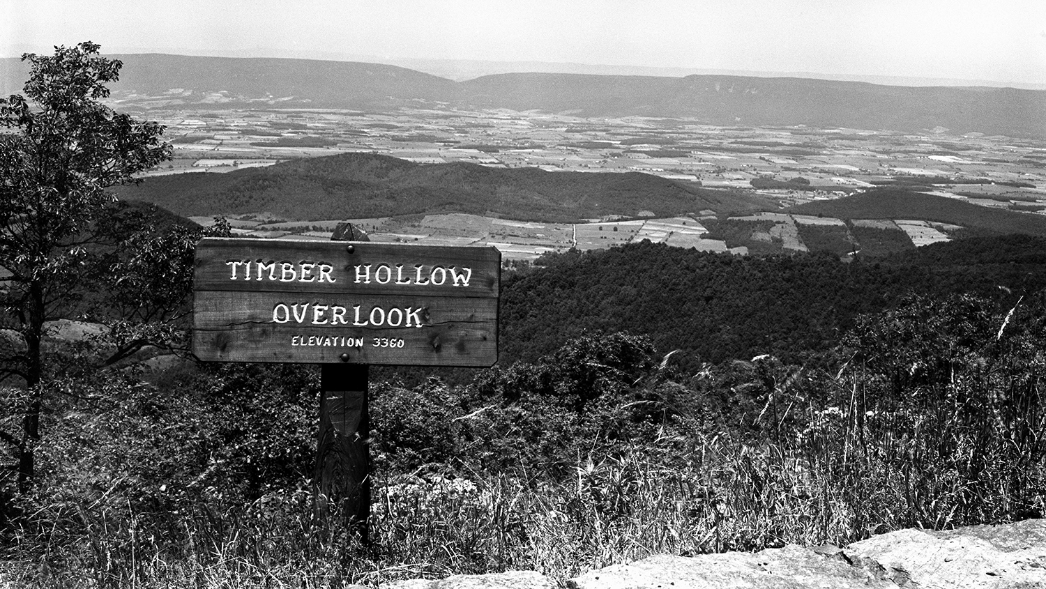
Shenandoah National Park Announces Launch of Interactive Map “Exploring Shenandoah National Park History – One Tract at a Time”
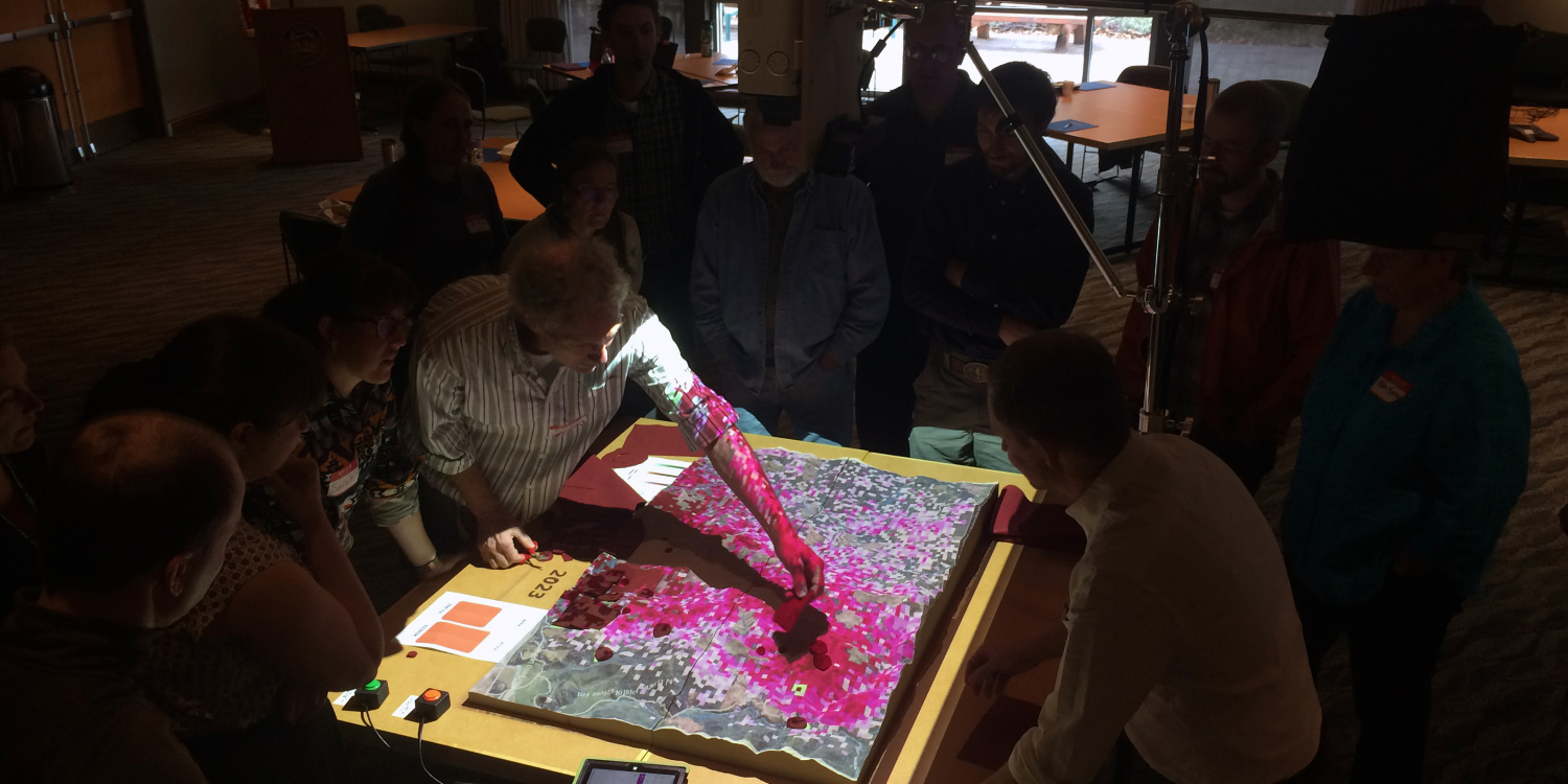
Can a Hands-on Model Help Forest Stakeholders Fight Tree Disease?

Celebrating Student Achievements 2018–2019

Celebrating Faculty and Staff Achievements 2018–2019
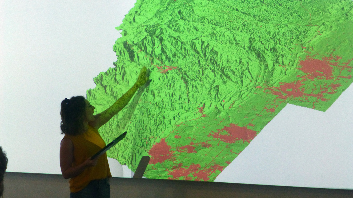
Image Gallery: Geospatial Analytics Ph.D. Student Course Projects Shine

Congratulations to Our May 2019 Graduates!