Jul 30, 2019
Geospatial Analytics Ph.D. student Nikki Inglis combines a background in journalism and geospatial science to tell important stories with big data. Her recent work reveals trends in wildland fire on National Park Service lands in Florida.
Jul 22, 2019
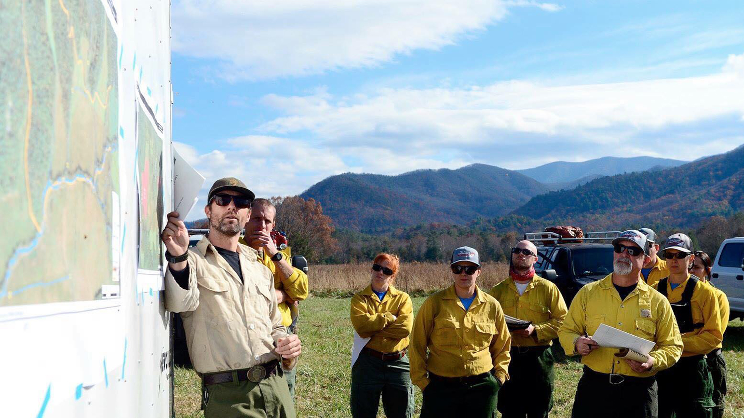
Maps have always been essential to managing fires on public lands. New geospatial technologies go beyond paper maps to help federal agencies like the National Park Service treat and restore fire-dependent landscapes.
Jul 15, 2019
The spotted lanternfly is one of many invasive insect pests causing economic and ecological damage in the US. A new geospatial decision-support tool developed at NC State is helping managers to curb their spread.