New NASA-Funded Research Will Address Food Security and Climate Adaptation
Adapting to earlier, warmer and/or drier growing seasons is a challenge to farmers worldwide, as global climate change shifts familiar patterns in local temperature and rainfall. A new research project led by Center for Geospatial Analytics faculty fellow Josh Gray will combine innovative approaches in remote sensing and on-the-ground interviews with farmers to better understand adaptive potential in vulnerable areas. The work is supported by a three-year, $725,459 grant from NASA’s Land-Cover and Land-Use Change (LCLUC) Program.
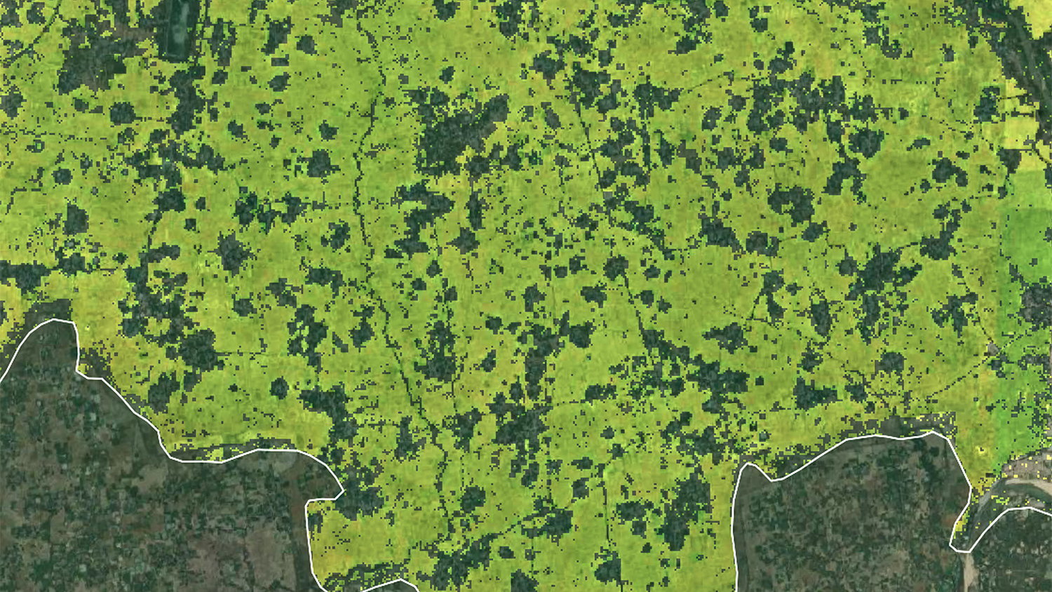
The new research will focus on the Eastern Indo-Gangetic Plains in northern India, Bangladesh and Nepal, where widespread rice and wheat production occurs chiefly on small holdings. According to the researchers, the project seeks to “provide guidance to promote food security, poverty alleviation and a more resilient and sustainable food future” for the region.
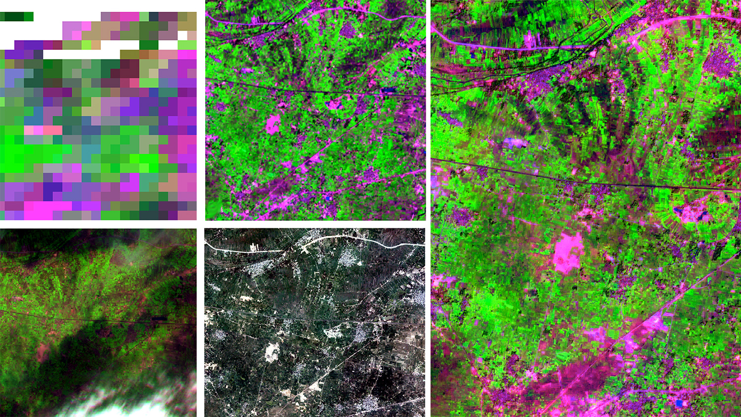
To better understand agricultural patterns over space and time, the research team will map and monitor changes in crop type, growth stages and crop yields since 2001, developing new techniques to leverage satellite imagery from multiple sources. This analysis will reveal where and when climate-adaptive strategies have already been used and whether or not they improved food production. It will also show where climate-adaptive strategies may be most useful in the future.
The researchers will also survey 3,000 growers in the region to “understand farmer attitudes towards, and experiences with, climate-adaptive agriculture” and to identify “barriers to the adoption of adaptive practices.” The project therefore uniquely combines both geospatial science and social science, so that deep understanding of farmers’ unique circumstances, and the motivations for their decisions, can inform realistic recommendations for climate adaptation.
Gray’s partners on the project are Meha Jain (University of Michigan), Arun Agrawal (University of Michigan) and Balwinder Singh (International Maize and Wheat Improvement Center).
Learn more about Josh Gray’s work as head of the Spatial Ecosystem Analytics Lab by visiting the SEAL website.