Multiple New Research Positions in Spatial Data Science Now Accepting Applications
Spatial Data Science for Environmental Forecasting and Creating Actionable Decision Analytics
Multiple new positions for postdoctoral scholars, research scientists, and Ph.D. students are available at the Center for Geospatial Analytics (geospatial.ncsu.edu) at North Carolina State University. These positions will contribute to a variety of new and ongoing team-science projects, part of a large, rapidly growing research program that transcends five strategic research frontiers (go.ncsu.edu/research-frontiers):
- Mapping a Dynamic Planet
- Forecasting Landscape and Environmental Change
- Creating Near Real-Time Decision Analytics
- Exploring Models through Tangible Interaction
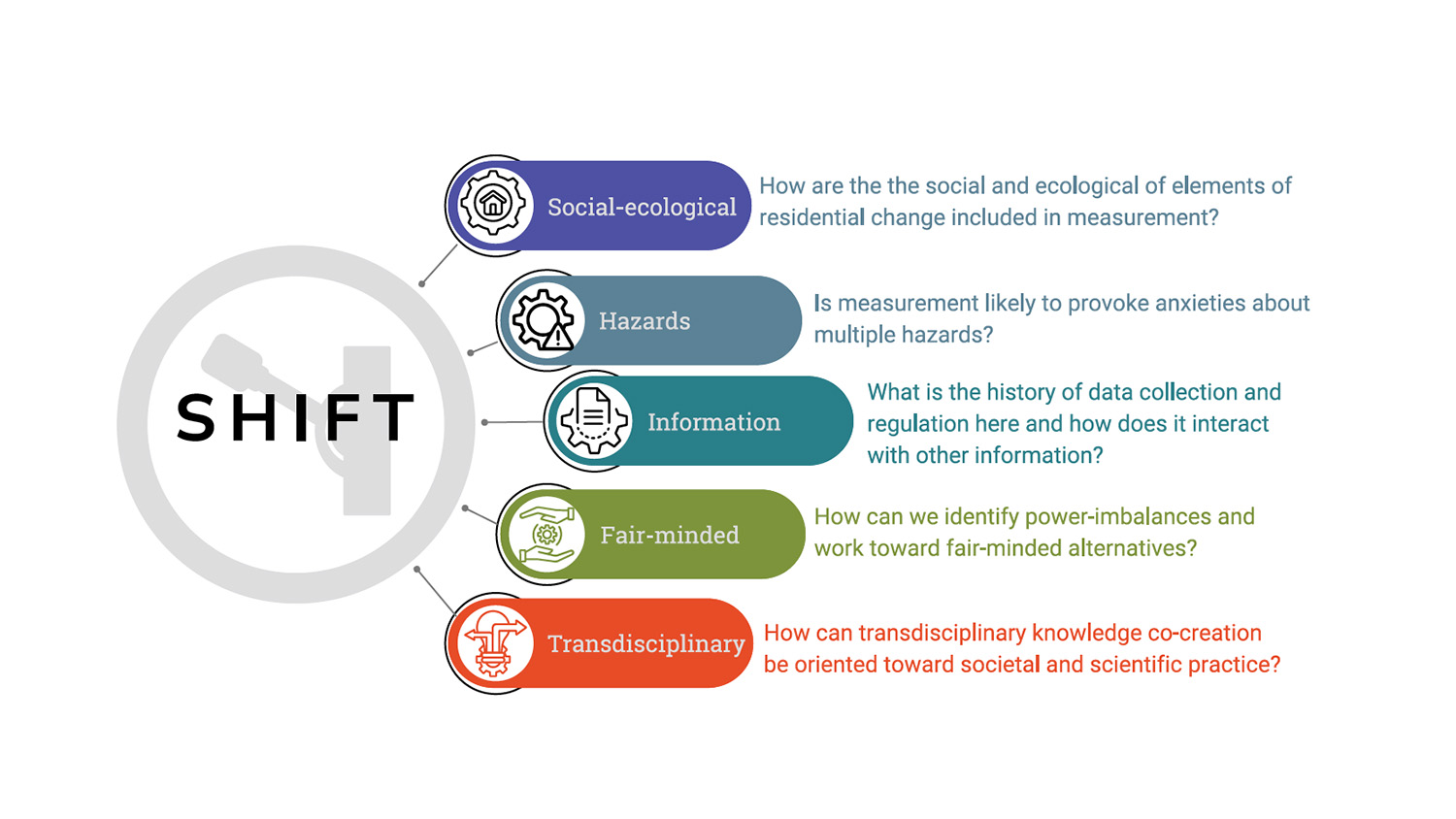
- Engaging Communities through Participatory Modeling
Selected candidates will collaborate with interdisciplinary teams of faculty, staff, and students to push the boundaries of data science, make new discoveries, and solve real-world problems. They will have the opportunity to play both leadership and supportive roles in projects spanning the center’s five research areas.
Ongoing example projects include: working with USDA Animal and Plant Health Inspection Service (APHIS) to forecast the spread and control of infectious diseases and invasive pests; building robust modeling frameworks with the USGS to forecast climate adaptation scenarios of human population redistribution and landscape change in the Southeast under future climate conditions; partnering with local governments and stakeholders to discover and communicate solutions for regional flooding from hurricanes and extreme precipitation events.
Research teams at the center specialize in harnessing geospatial time-series data to develop open source modeling frameworks that analyze real-world conditions and forecast alternative futures. We transform complex simulations into user-friendly discovery tools by developing sophisticated back-end algorithms and interactive front-end dashboards that present essential information clearly and quickly. Decision analytics also take the form of tangible user interfaces, which promote hands-on learning and collaborative problem-solving. With our dedication to participatory modeling approaches, we work closely with government officials, regional leaders, business owners, nonprofit organizations, civic groups and others to collaboratively frame research questions, co-develop geospatial models and use the results of simulations to drive positive outcomes.
We seek talented data scientists proficient in working with spatial and temporal big data, eager to contribute to any or all of our research frontiers. Candidates must be experienced in data visualization and have excellent written and oral communication skills.
Ideal candidates will demonstrate:
- experience in spatial data analysis and computing, big data management, and programming (e.g., Python, R, and database management skills)
- experience and/or interest in deploying serverless geospatial applications
- skills to optimize processing of large datasets such as outputs from satellite data and raster-based model with cloud computing (e.g., Google Earth Engine, or APIs deployed to GCP)
- evidence of developing or using dynamic spatial-temporal models
- experience and/or interest in open science with aptitude for learning git and GitHub
- excellent written or oral communication skills to share results with individuals and groups both within and outside of their scientific discipline.
Primary tasks will vary by position and expertise, including some or all of the following:
1) analysis and visualization of forecasts, including parameterization, calibration, and validation; 2) automation of data collection and processing for near real-time applications; 3) analysis of uncertainty related to initial conditions, observational data, parameter estimates, and input data (e.g., weather conditions and host distributions); 4) adding functionality to forecasts through development of new modules; 5) coding optimization algorithms to compare management solutions; 6) using open science and open source best practices; 7) deploying interactive geospatial applications (via serverless APIs) to production and testing environments for Geospatial Decision Support Systems; and 8) playing a leadership and contributing role in writing articles for submission to peer-reviewed journals. There will also be opportunities to seek grant funding to develop related, independent research.
The Center for Geospatial Analytics at NC State University is an internationally recognized hub for interdisciplinary data scientists advancing novel understanding of spatial phenomena and applying new knowledge to grand challenges. NC State is an R1 (Very High Research Activity) university with a strong commitment to the land-grant mission. Along with Duke and UNC Chapel Hill, NC State forms one of the corners of the Research Triangle, a dynamic area home to many start-ups and high-tech companies, particularly in the biotech sector. The area features a high standard of living and cultural and recreational opportunities at a relatively low cost.
Review of applications will begin on January 20, 2020 and continue until the positions are filled. Start dates are flexible based on applicant preferences and project deadlines. To apply, send a cover letter, CV, and contact information for three references to both Dr. Chris Jones (cmjone25@ncsu.edu) and Dr. Ross K. Meentemeyer (rkmeente@ncsu.edu).
- Categories: