2019
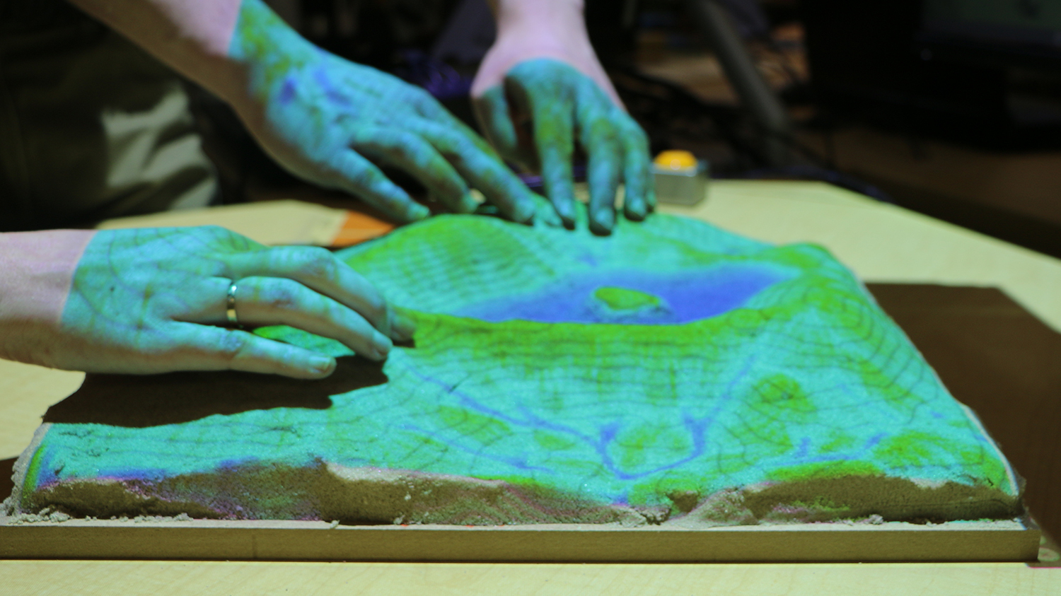
First Official Stable Version of Tangible Landscape Software Released
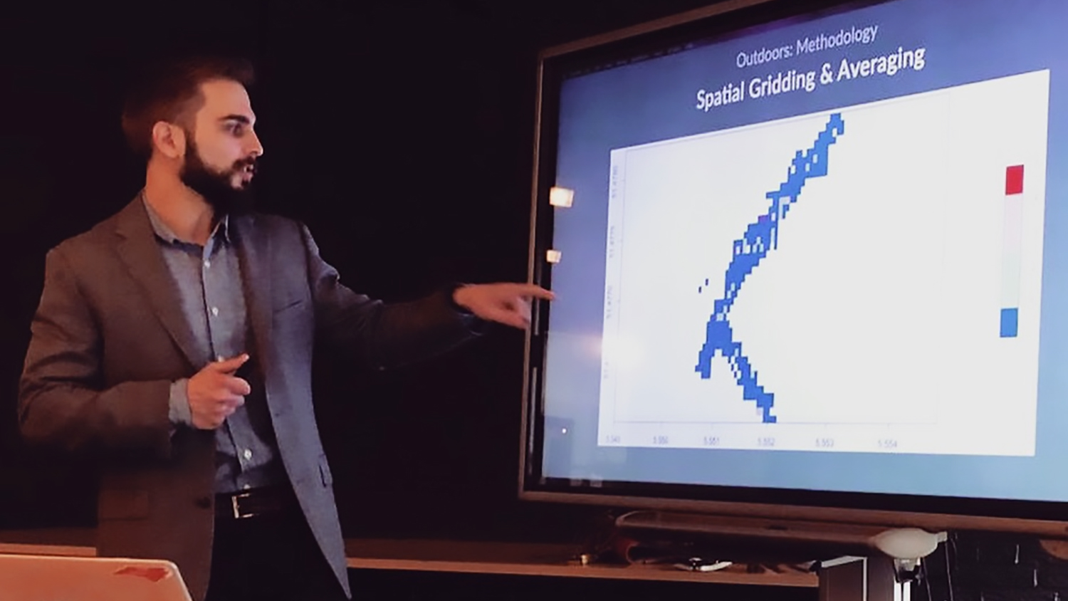
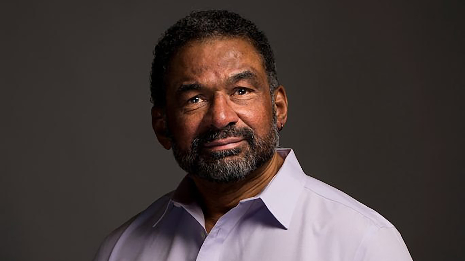
“I Use Geospatial Analytics To…” Part II
Putting Human Experience on the Map
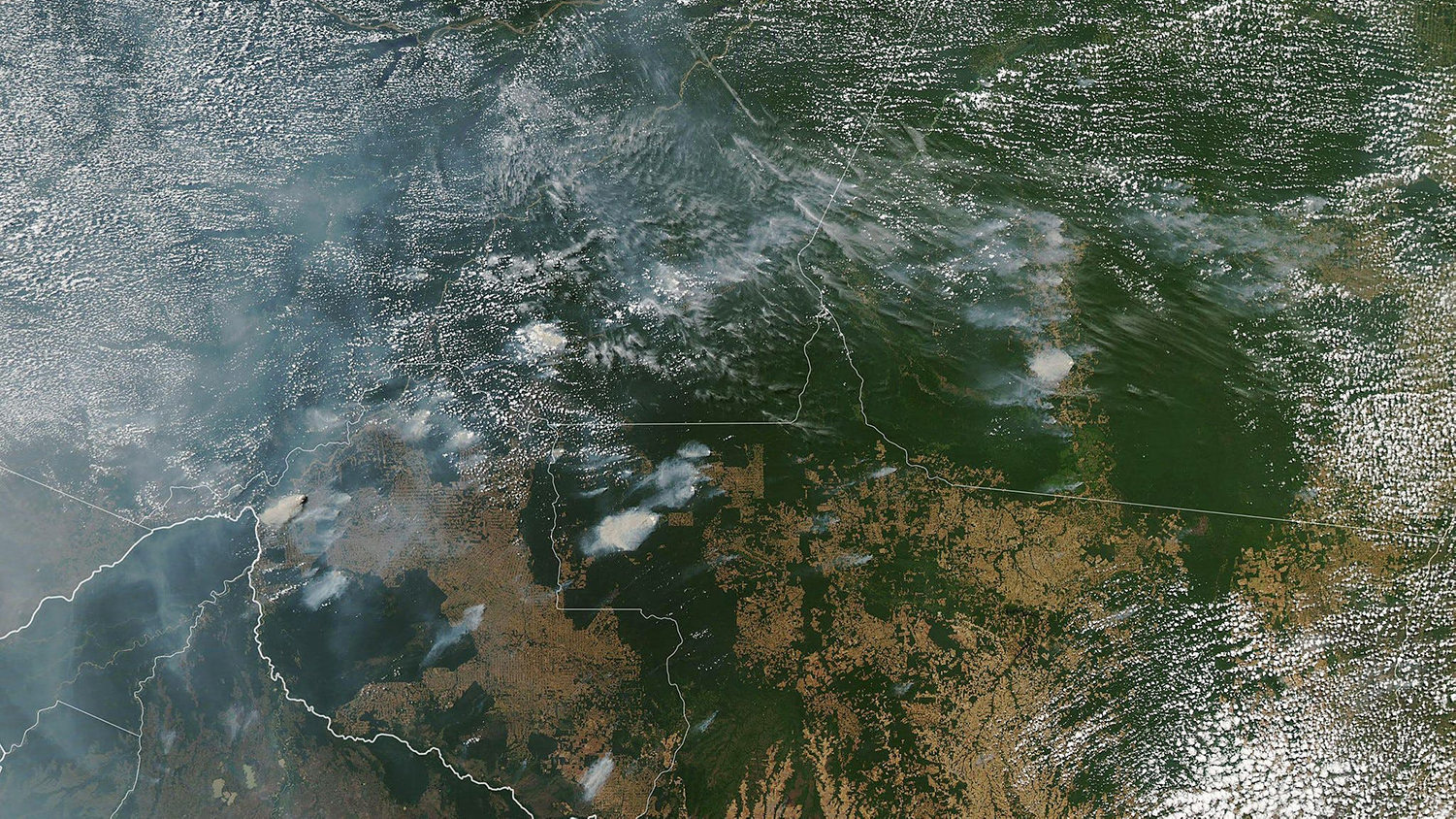
Amazon Rainforest Fires: Everything You Need to Know
Special Geospatial Forum to Explore Social Justice and Sustainability
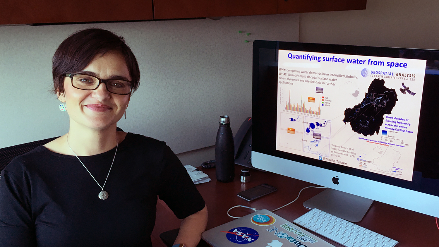
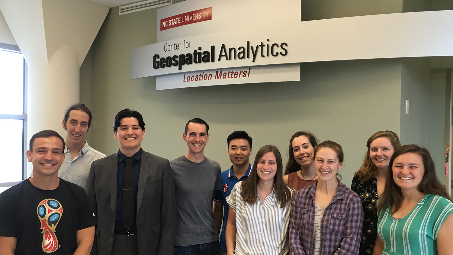
Center Welcomes Newest Member of Geospatial Analytics Cluster
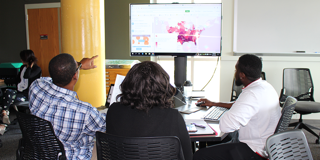
Local Teachers Train to Enhance Lessons with Geospatial Tools
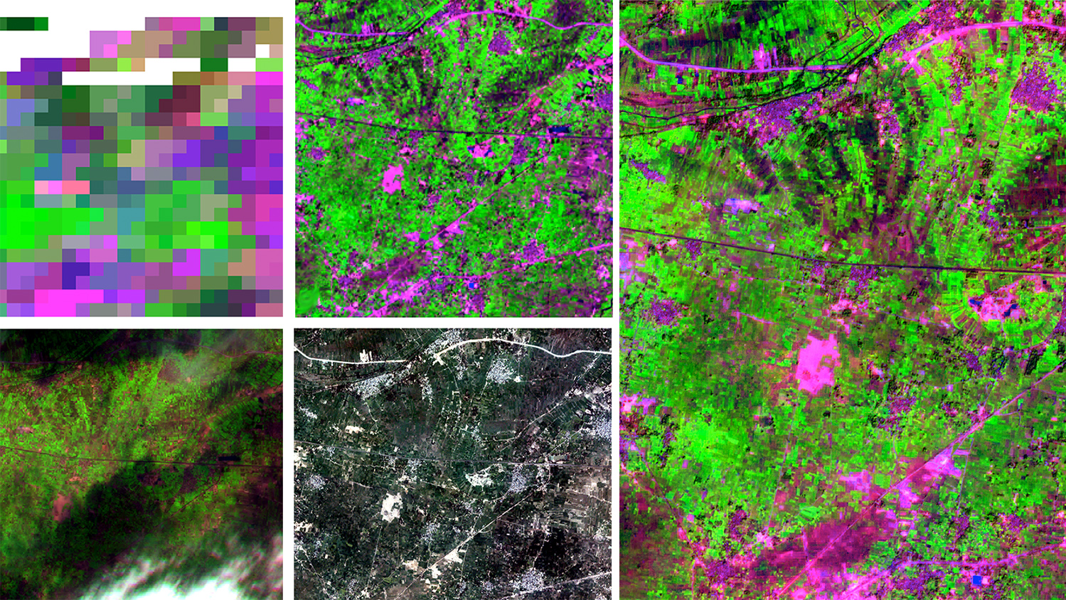
New NASA-Funded Research Will Address Food Security and Climate Adaptation

The Art of Storytelling, with Geospatial Data