Nov 9, 2021
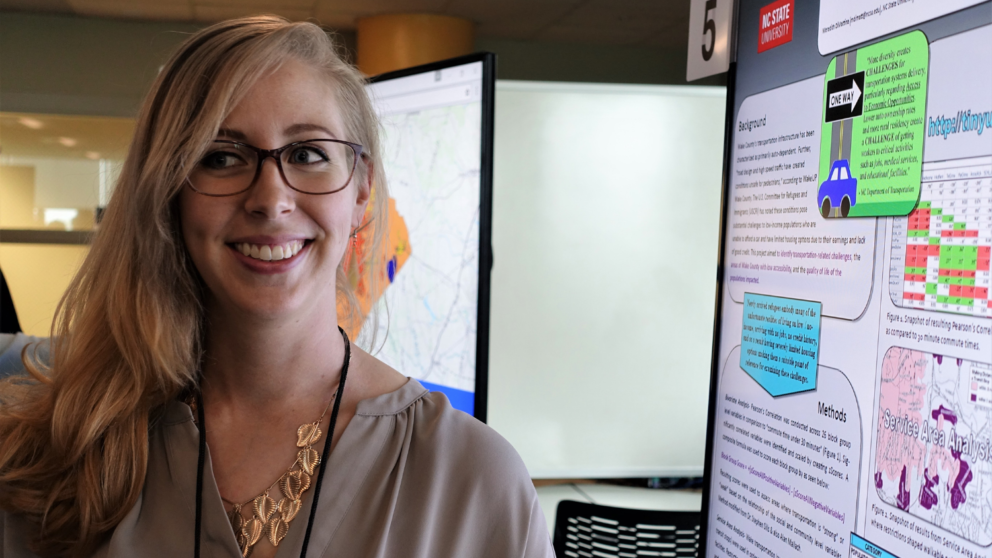
Meredith DiMattina has a drive for going above and beyond. She shares how her determination for learning more led her to pursue a master’s degree in the online MGIST program and how it has impacted her career.
Nov 5, 2021
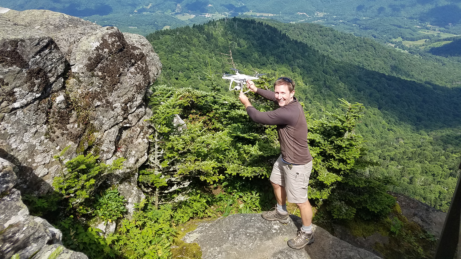
Researchers from the Center for Geospatial Analytics have devised a method to more safely and efficiently monitor endangered high-elevation plants, by predicting their likely locations and then flying drones in high-probability areas to collect imagery.
Nov 3, 2021
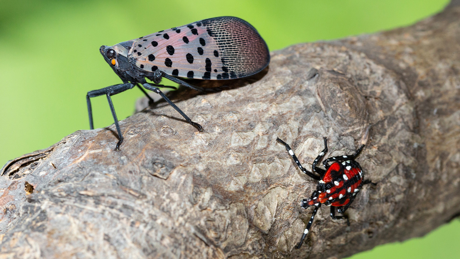
The US Department of Agriculture's Plant Protection and Quarantine program is using a forecasting framework developed at the Center for Geospatial Analytics to design and test control strategies for the invasive spotted lanternfly.