Megan Skrip
The Varied Real-World Impacts of Experiential Learning
Fall 2023 Geospatial Forum Rewind
How Open Science Can Both Advance and Hinder Equity in Research

What Is Open Science? An Intro, Common Misconceptions and Advice
Center Researchers to Support Small Business Natrx on $1M NSF-Funded Project

Kelsey Mills ’21 Awarded Governor’s Award for Excellence
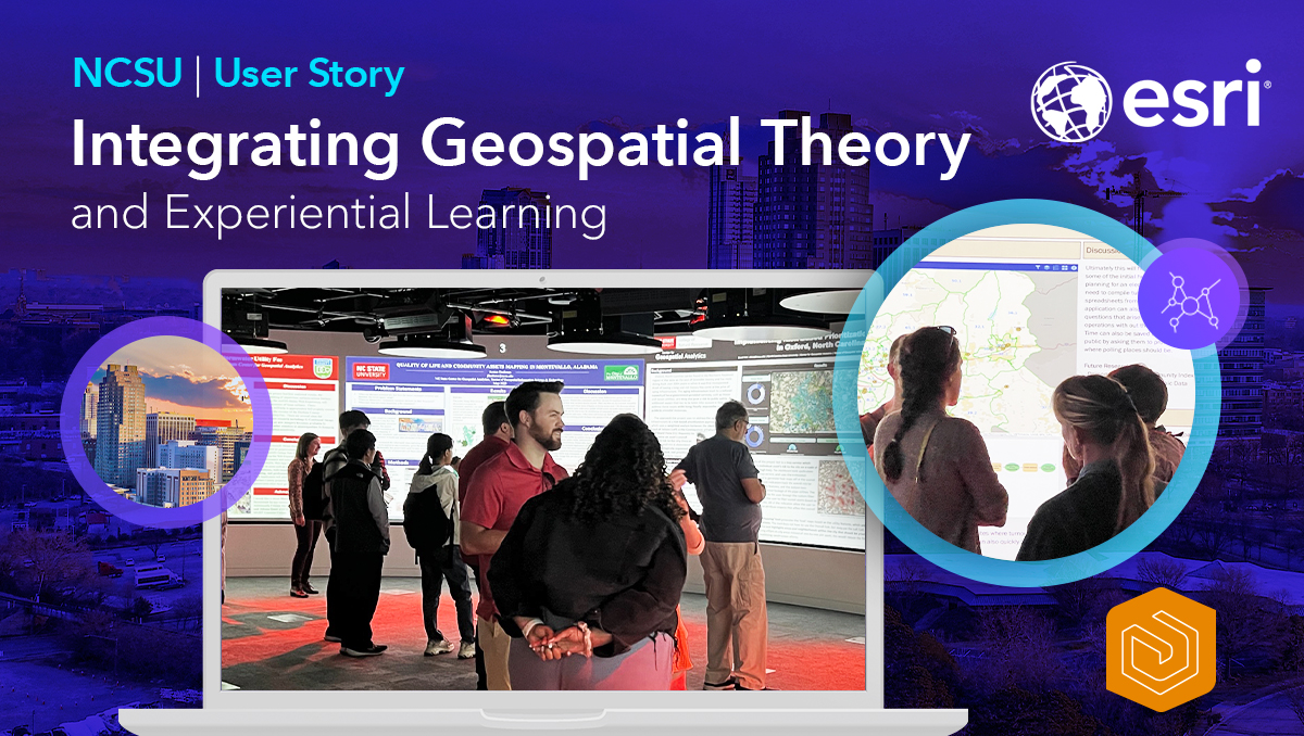
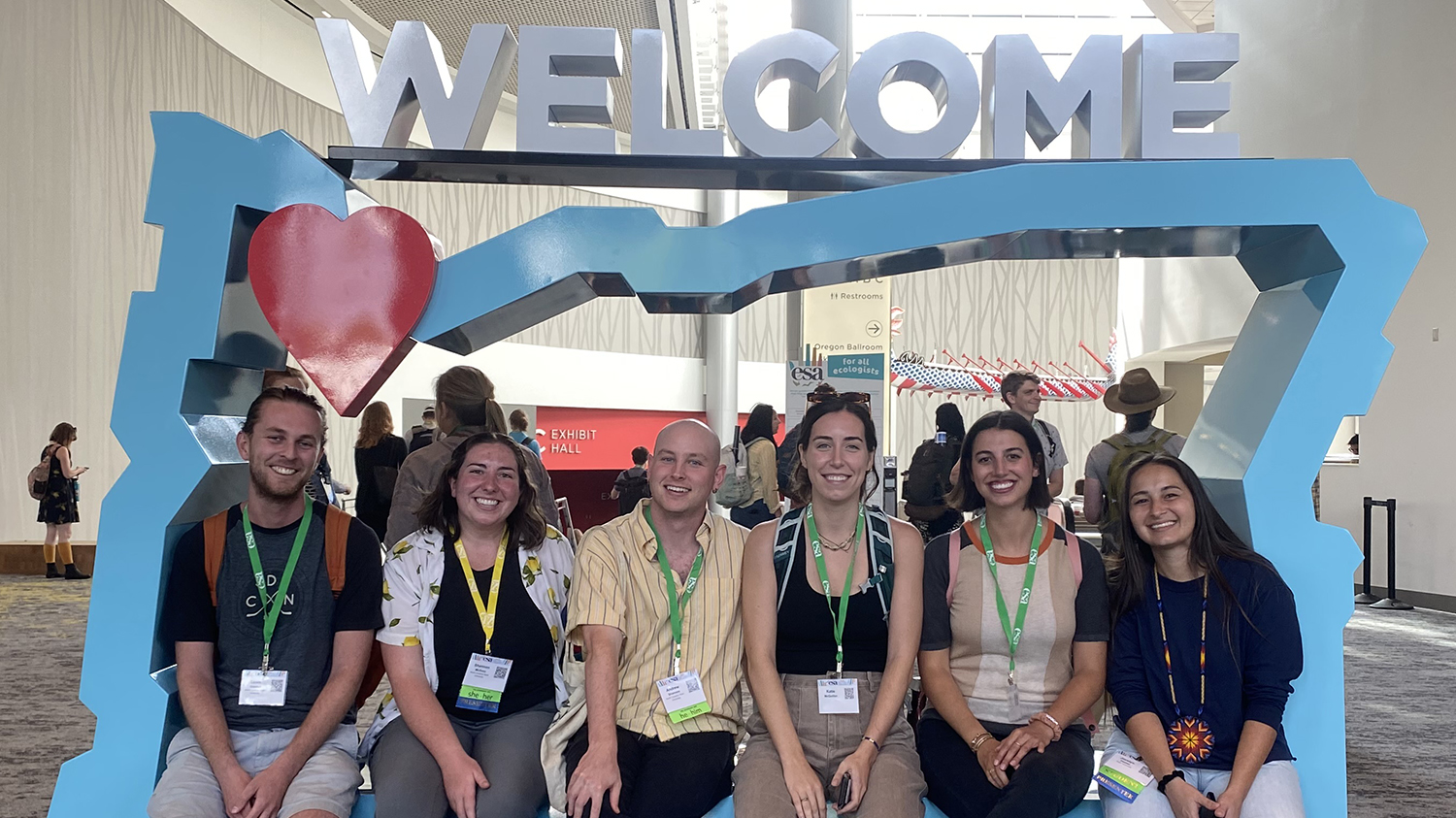
MGIST Students Accelerate Their Geospatial Careers via Hands-On Learning
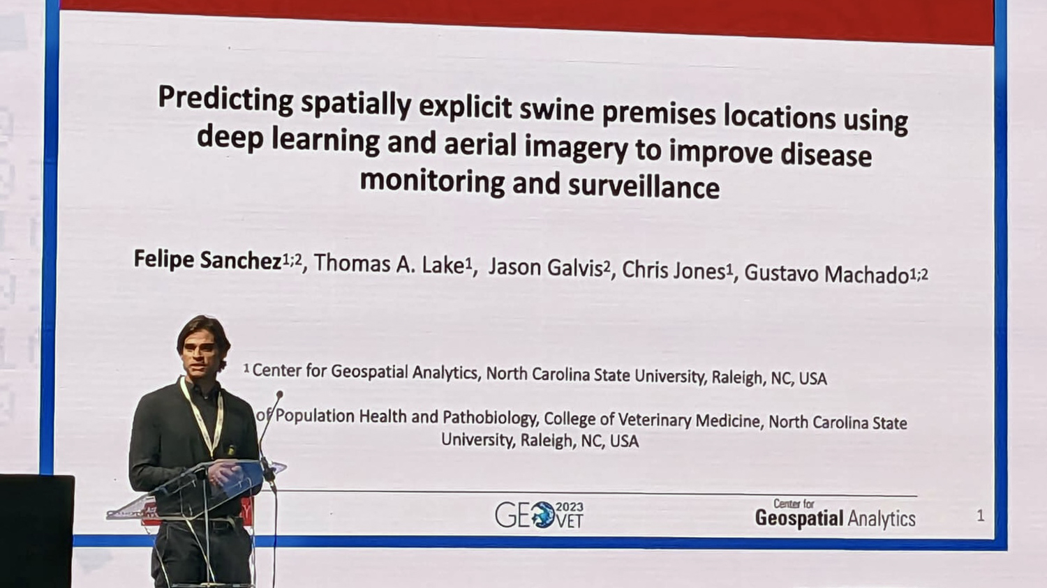
When in Rome: Presenting at the GeoVet 2023 Conference in Italy
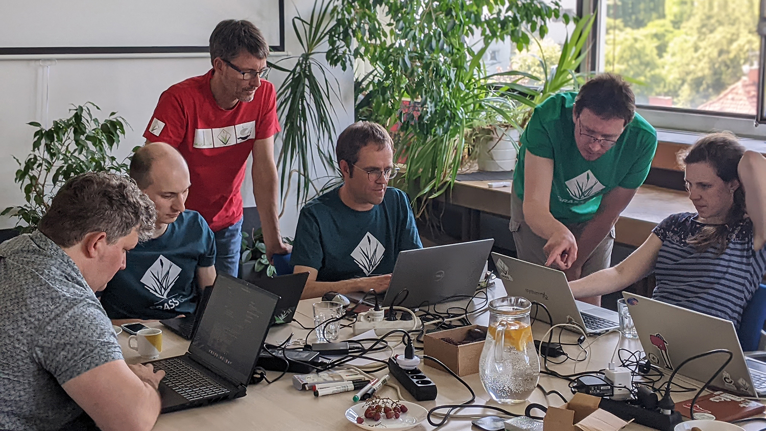
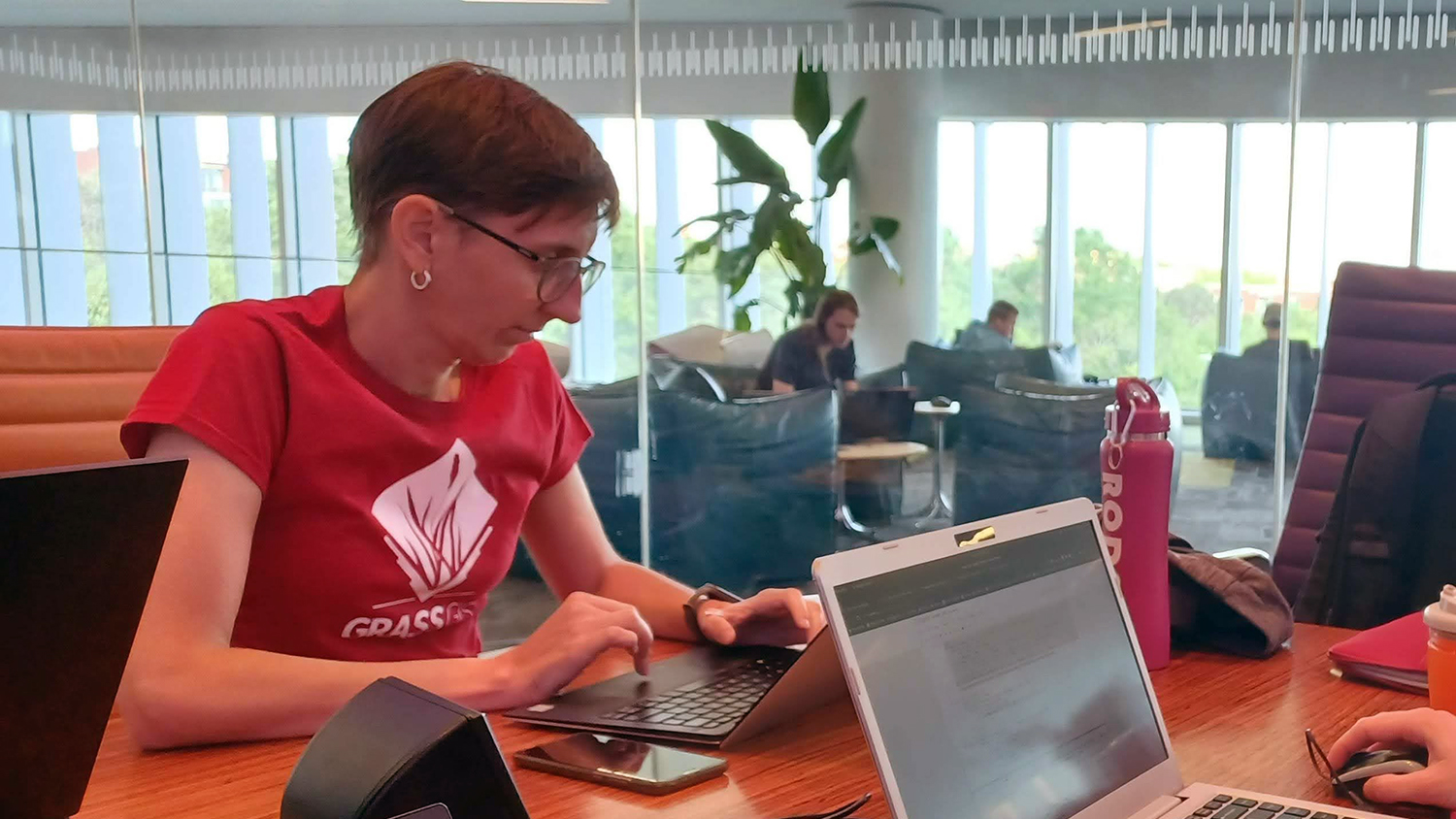
New NSF-Funded Research Will Expand Access to GRASS GIS