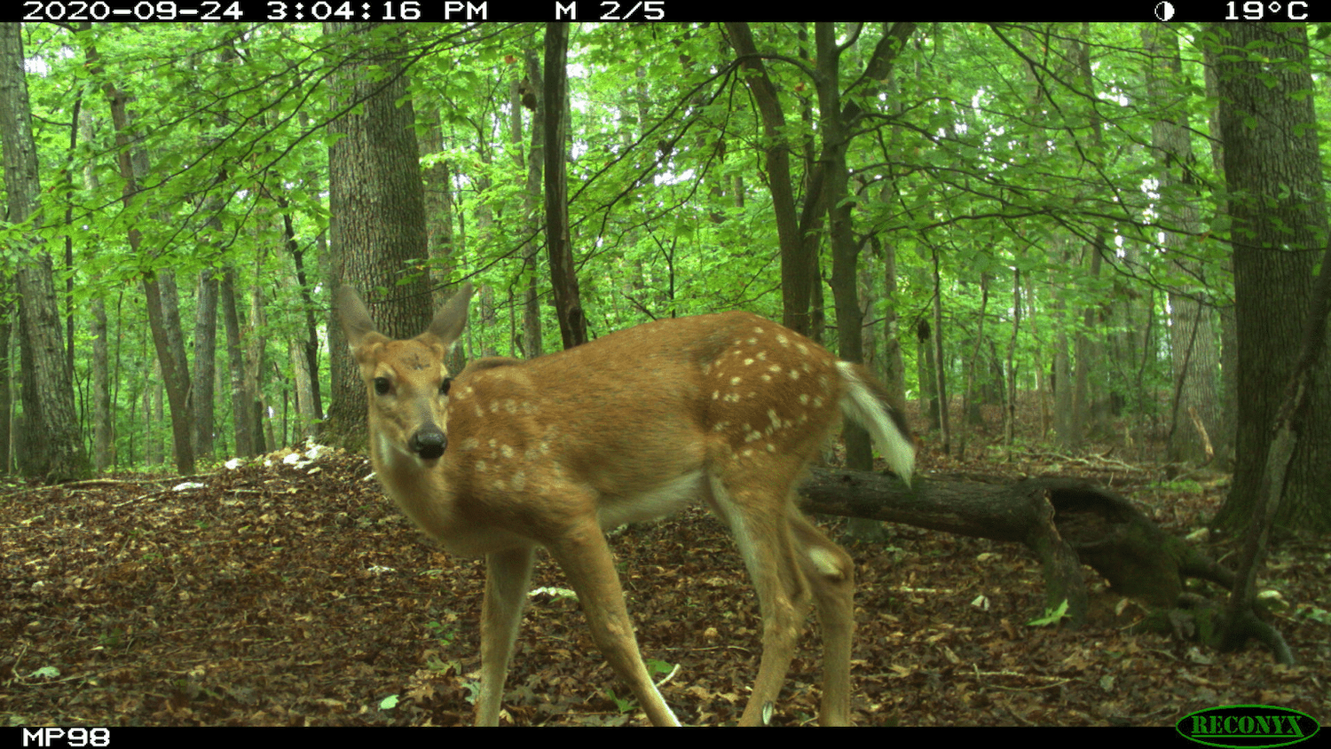
To thrive, southern Appalachian forests need fire. The region’s iconic Table Mountain pines, for example, can’t release their seeds without it. Wildfires, though, pose risks to people and property, especially where communities neighbor wildlands, and so natural resource managers strategically apply prescribed burns to maintain landscape health while reducing fire risks.
New research at North Carolina State University led by Geospatial Analytics Ph.D. student Kate Jones will use geospatial modeling and interactive data visualization to help ensure that decision-making about prescribed burns also considers the vulnerability of communities to smoke downwind.
“One of the most significant barriers for prescribed burning now, and especially into the future, will be smoke management,” Jones says. The sight of smoke can be concerning to people living at the wildland-urban interface (WUI), and exposure to smoke carries health risks, especially for people with existing chronic conditions.
“My research will couple landscape change and smoke modeling to understand how management actions and climate will affect smoke dispersal from prescribed fires,” Jones explains. Her work will focus on western North Carolina and predict likely patterns of smoke exposure in socially vulnerable and WUI communities over the next 10 to 50 years.
Jones will use the landscape change model LANDIS-II, the smoke plume model VSMOKE, census data and projections of future WUI development to explore how management decisions regarding prescribed burns, such as where and how often to apply them, may impact smoke exposure.
To ensure her work is useful to natural resource managers in the southern Appalachians, Jones is partnering with practitioners from the USDA Forest Service, North Carolina State Parks, North Carolina Wildlife Resources Commission, the Consortium of Appalachian Fire Managers and Scientists and The Nature Conservancy, who will provide project guidance.
With their input, Jones will ultimately design an online tool that can help “managers to explore community smoke exposure from prescribed fire under varying management and climate scenarios,” she explains. For example, “users could toggle between simulated burn intervals to understand cumulative smoke emissions and visualize the communities most affected for any burn site.”
“Interactive tools like this could expand management decision space by providing long-term scenarios to explore while increasing awareness of surrounding communities to promote engagement and communication,” Jones says. Her work will permit visualizing the potential impacts of different sizes, frequencies and locations of prescribed burns and “will allow fire managers to foresee how variation in key fire management strategies could influence if communities may experience smoke, and how much, over time.”
Jones joined the Center for Geospatial Analytics in Fall 2019 as part of the Geospatial Analytics Ph.D. program’s second cohort and is advised by Faculty Fellow Jelena Vukomanovic (Department of Parks, Recreation and Tourism Management). She was a Southeast Climate Adaptation Science Center (SE CASC) Global Change Fellow 2019–2020 and is a part-time research assistant with the NC State University Fire Chasers Team. Earlier this year, she was awarded a 2021 Joint Fire Science Program (JFSP) Graduate Research Innovation (GRIN) grant to fund her ongoing research; her co-investigators on the grant are Faculty Fellow Rob Scheller (Department of Forestry and Environmental Resources) and Louise Loudermilk of the USDA Forest Service.
- Categories: