Nov 12, 2019
Meentemeyer Named Goodnight Distinguished Professor of Geospatial Analytics
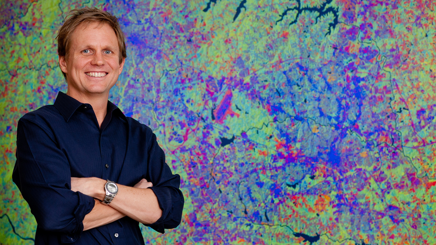
Dr. Ross K. Meentemeyer, Director of the Center for Geospatial Analytics, has been appointed the Goodnight Distinguished Professor of Geospatial Analytics, recognizing his extraordinary work and commitment to advancing the field of geospatial analytics.