
center for geospatial analytics

julian agyemanad

Sep 18, 2019

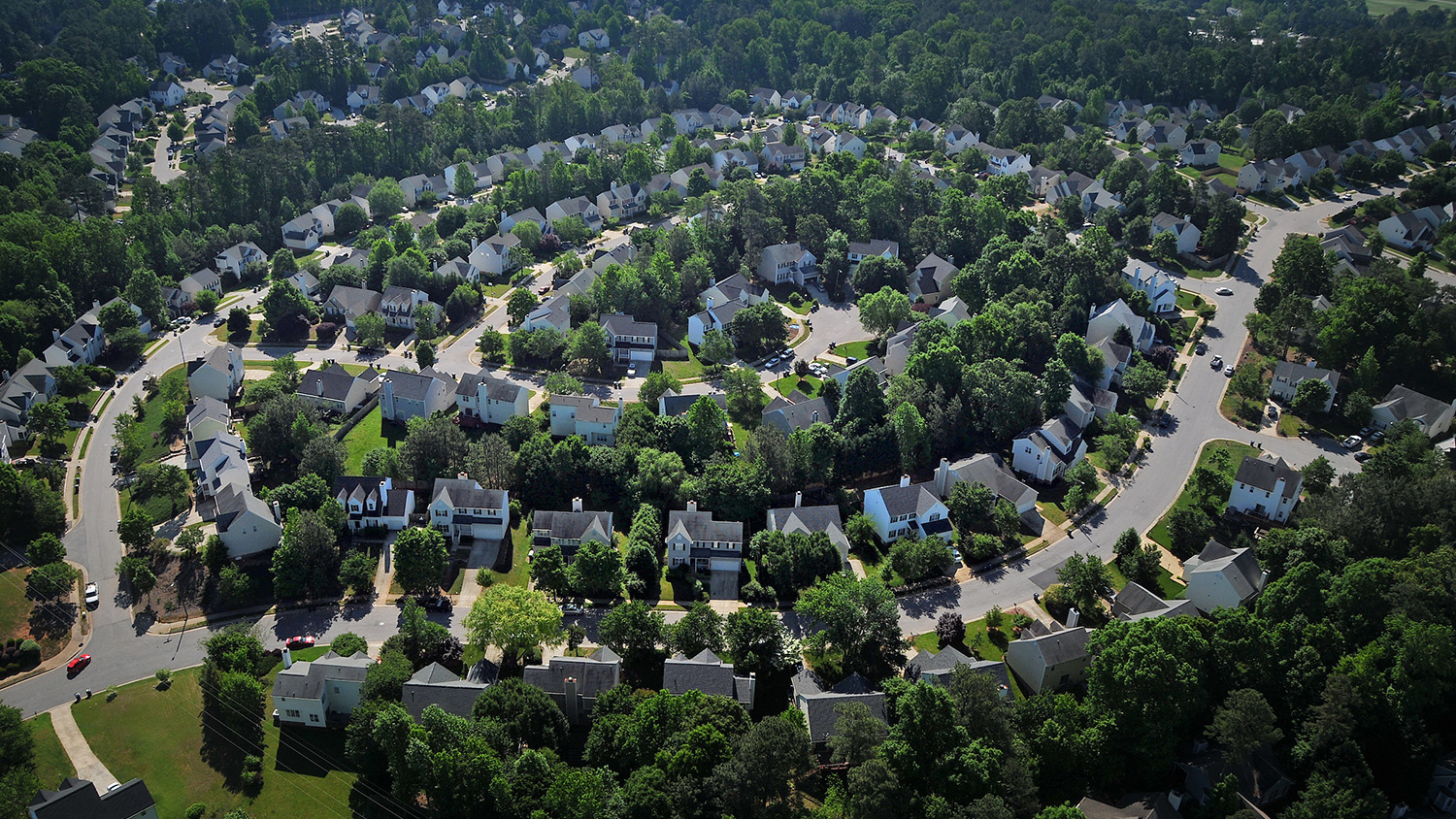
Geospatial Forum to Explore Social Justice and Sustainability

On Oct. 3, North Carolina State University will host renowned critical urban planning and environmental social science scholar and author Julian Agyeman to present his work at the intersection of social justice and sustainability, followed by a geospatial panel discussion.

How Big Data Can Help Predict the Spread of Pests and Pathogens

Aug 2, 2019

How Big Data Can Help Predict the Spread of Pests and Pathogens 

Dynamic modeling is helping decision-makers curb the spread of economically and ecologically destructive pests and pathogens.

Tangible Landscape Workshop

Jun 20, 2019

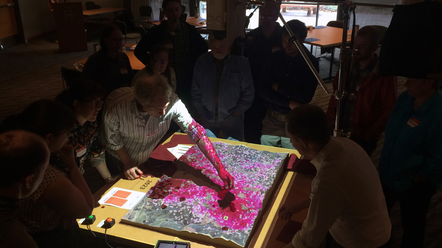
Can a Hands-on Model Help Forest Stakeholders Fight Tree Disease?

Ross Meentemeyer and fellow researchers offer Tangible Landscape, an interactive model that allows participants to try different solutions to help stop sudden tree death.

The College of Natural Resources in 2018

Dec 21, 2018

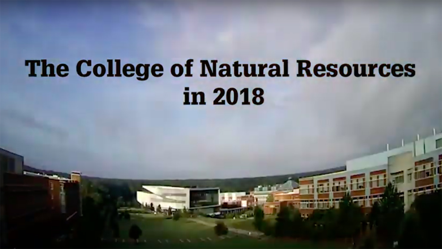
Looking Back at 2018

Take a look back at some of the best moments in the College of Natural Resources in 2018.

Microscopic image of snowflake

Dec 7, 2018

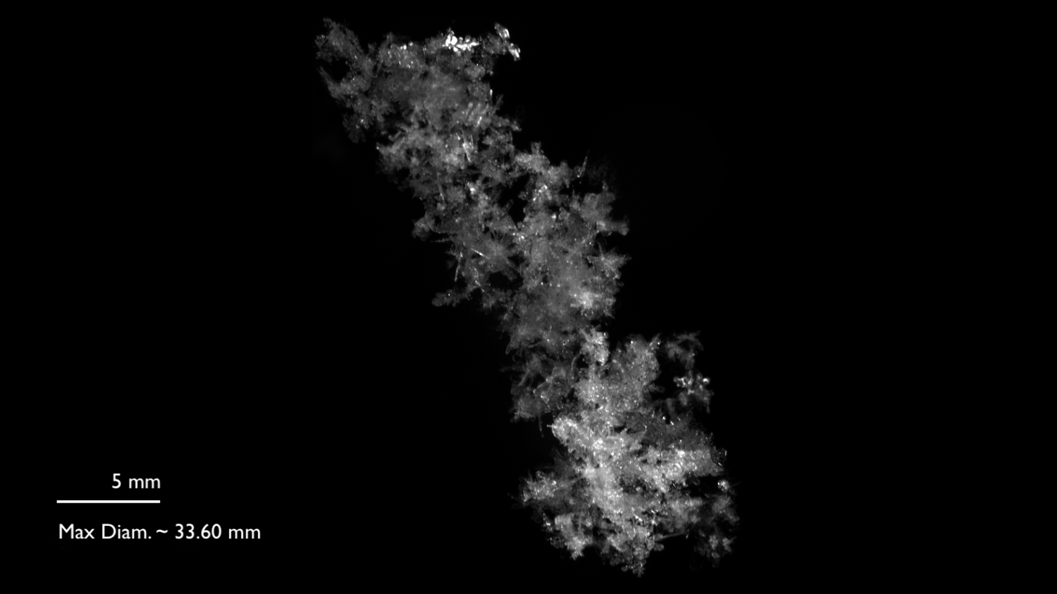
How Big Can Snowflakes Be?

Megan Skrip, a science communicator with the Center for Geospatial Analytics, shares some surprising facts about the biggest snowflakes ever recorded.

research winner

Aug 15, 2018

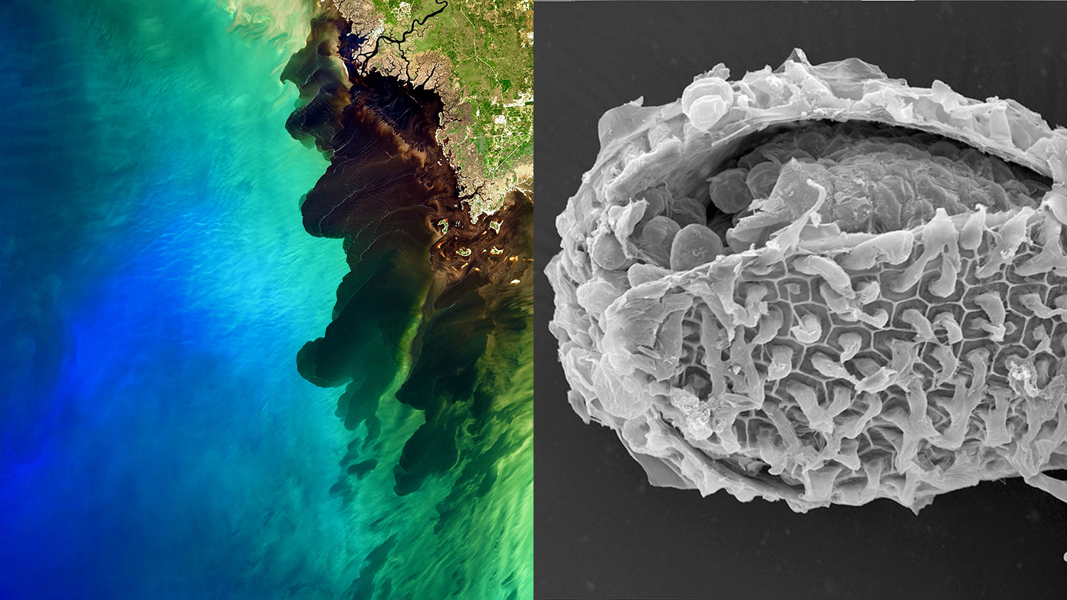
Envisioning Research Winners Capture Insights Into the World Around Us

The winners of this year’s Envisioning Research contest demonstrate the many ways research offers new perspectives on our world.

Bethany Cutts

May 29, 2018

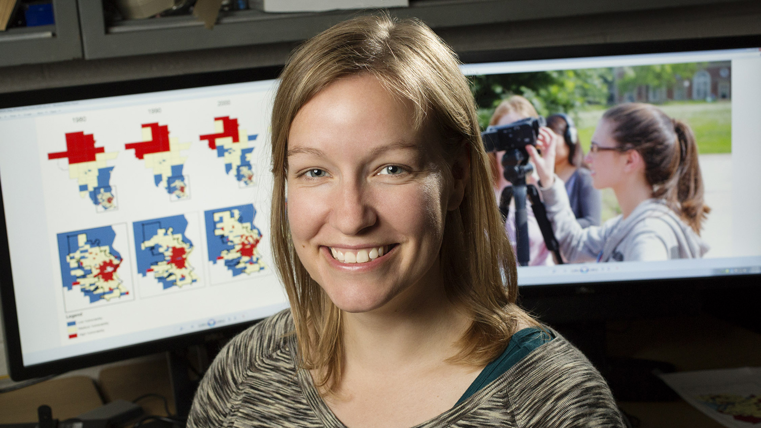
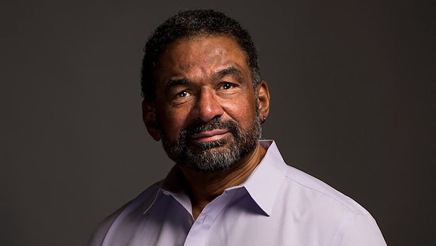
Connecting Power and Place

New research by Assistant Professor Bethany Cutts combines spatial analysis and interviews to help watershed planners better understand the social vulnerability of communities across time and space.

Virtual Reality and Geospatial Analytics

Apr 18, 2018

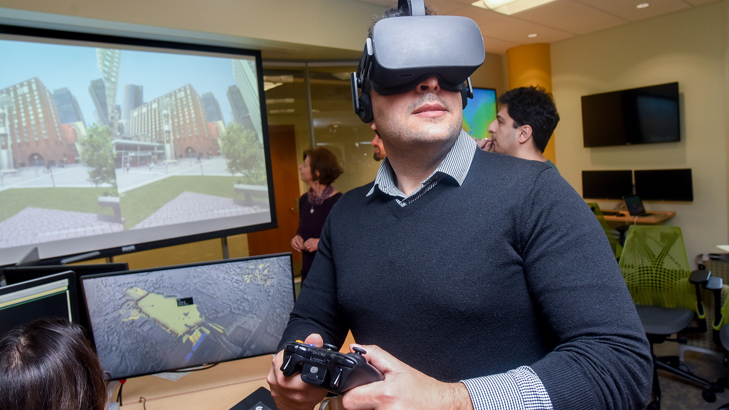
Ready Player Two: Virtual Reality in the Geospatial Sciences

Ph.D. student Payam Tabrizian uses virtual reality and geospatial analytics to learn about human cognition and advance landscape design. We asked him about his current research and his predictions for the future of the field.

raleigh

Apr 17, 2018

New Research Shows Water Use Impacted by the Shape of Our Cities

Georgina Sanchez, Ph.D. student in the Department of Forestry and Environmental Resources, is using geospatial analytics to understand water demand in the Southeast. Her latest findings: urban developments with simpler shapes use less water.

Apr 12, 2018

Using Virtual Reality to Plot Urban Green Spaces

Center for Geospatial Analytics researchers find that VR goggles give landscape designers fresh insight on how green landscapes refresh city residents.