Integrating Free And Open Source Solutions Into Geospatial Science Education At NC State
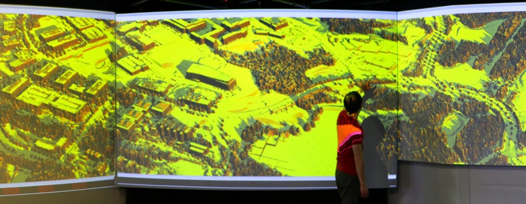
While open science perspectives have been increasingly adopted in research and industry, the trend is much less reflected in university educational programs. A new open access publication by Center researchers highlights how free and open source software has been used in tandem with proprietary software in geospatial education at NC State since 2008 to promote open and reproducible science. The authors conclude that full integration of free and open source software into geospatial education is necessary to encourage openness, differentiate between science and software, and enable greater reproducibility in science.
Citation: Petras V., Petrasova A., Harmon B., Meentemeyer R.K., and Mitasova H. 2015. Integrating Free and Open Source Solutions into Geospatial Science Education. ISPRS International Journal of Geo-Information 4(2):942-956.. http://dx.doi.org/10.3390/ijgi4020942
Abstract: While free and open source software becomes increasingly important in geospatial research and industry, open science perspectives are generally less reflected in universities’ educational programs. We present an example of how free and open source software can be incorporated into geospatial education to promote open and reproducible science. Since 2008 graduate students at North Carolina State University have the opportunity to take a course on geospatial modeling and analysis that is taught with both proprietary and free and open source software. In this course, students perform geospatial tasks simultaneously in the proprietary package ArcGIS and the free and open source package GRASS GIS. By ensuring that students learn to distinguish between geospatial concepts and software specifics, students become more flexible and stronger spatial thinkers when choosing solutions for their independent work in the future. We also discuss ways to continually update and improve our publicly available teaching materials for reuse by teachers, self-learners and other members of the GIS community. Only when free and open source software is fully integrated into geospatial education, we will be able to encourage a culture of openness and, thus, enable greater reproducibility in research and development applications.
- Categories:


