
December 2019

NC State graduation

Dec 17, 2019

Congrats to Our December 2019 Graduates!

At December graduation, 45 members of the Center for Geospatial Analytics community will be recognized for completing their graduate programs.

a sign points to a wheelchair accessible entrance near a set of stairs

Dec 17, 2019

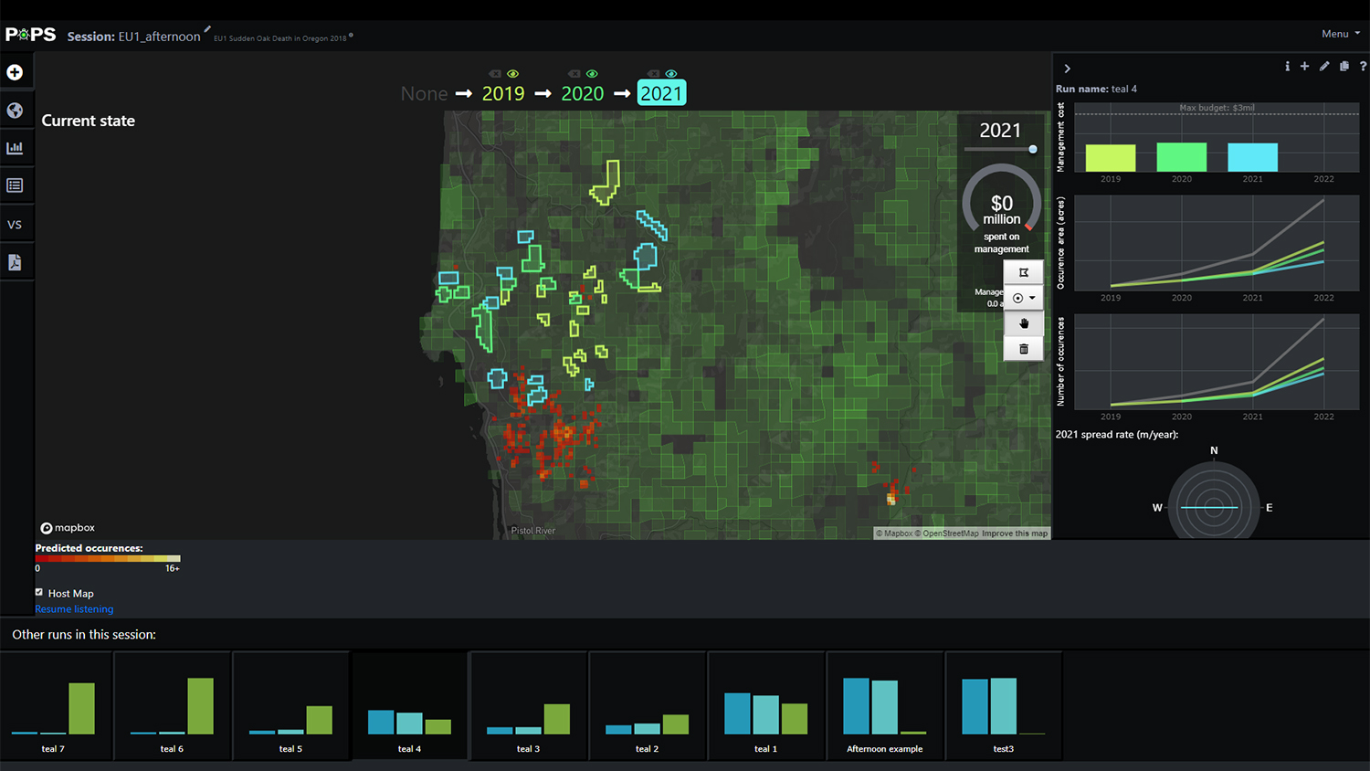
Partnerships in Geospatial Problem-Solving

During their final semester, each master’s student in Geospatial Information Science and Technology completes a service-learning capstone project, working directly with a community or industry partner to solve a geospatial problem. This season, we celebrate the work of our December graduates.

Christmas tree farm in North Carolina

Dec 17, 2019

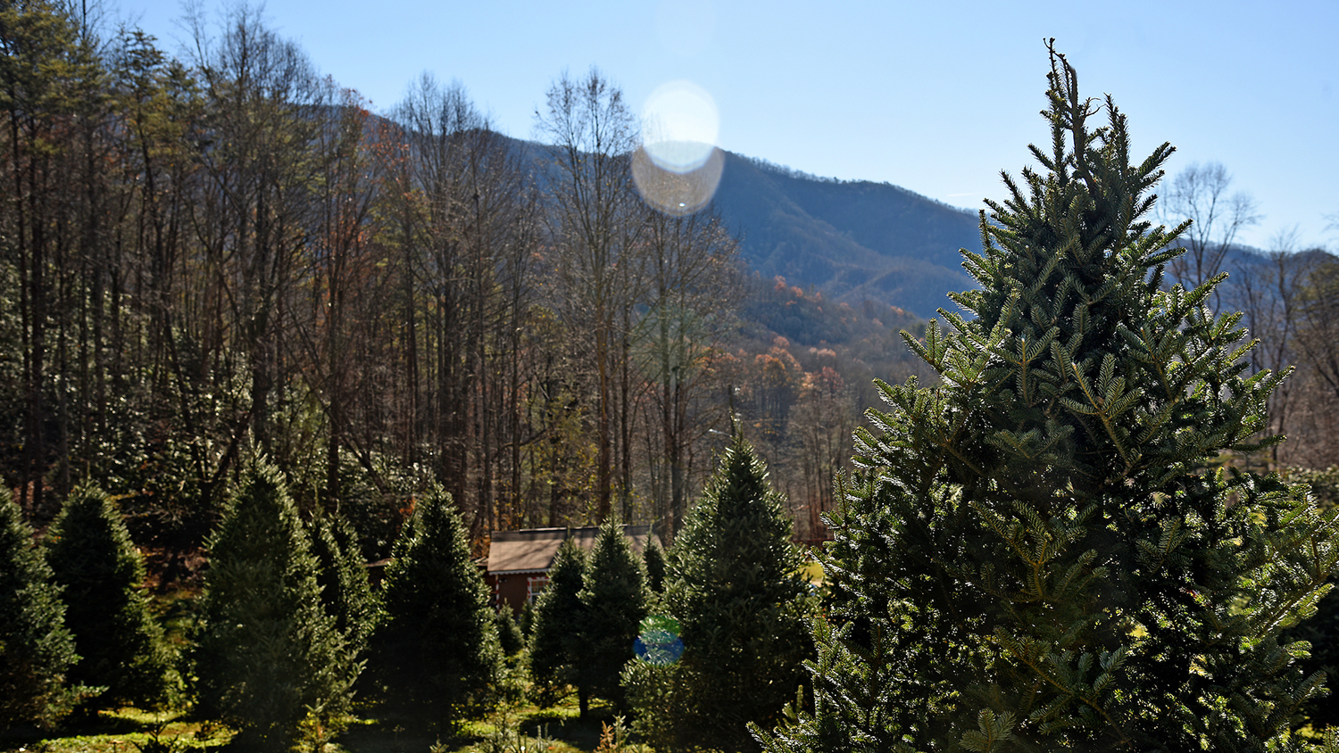
UAVs and Christmas Trees: New Research to Help NC Growers Benefit From Drone Technology

A new partnership between NC State’s Christmas Tree Extension Team and Center for Geospatial Analytics will test how unmanned aerial vehicles (UAVs, or drones) can help NC Christmas tree growers more efficiently monitor tree size and health.

PoPS Dashboard

Dec 16, 2019

Multiple New Research Positions in Spatial Data Science Now Accepting Applications

Multiple new positions for postdoctoral scholars, research scientists and Ph.D. students are available at the Center for Geospatial Analytics to work on a variety of funded team-science projects. Review of applications will begin January 20.

Airboat near fire in Everglades National Park

Dec 5, 2019

Custom Geospatial Tool Helps National Park Service Better Predict Fire Risk on Florida’s River of Grass

In the Everglades’ vast wetlands, fire spread depends on water levels. A custom geospatial tool created at the Center for Geospatial Analytics is helping the National Park Service quickly and easily map water levels––and better manage fires––across south Florida.