2019
![Mary Hicks chats with a student](https://cnr.ncsu.edu/geospatial/wp-content/uploads/sites/22/2019/04/geospatial-0058-1500x844.jpg)
Mary Hicks Wins CNR Award for Excellence
![tazewell-wilson - Center for Geospatial Analytics at NC State University](https://cnr.ncsu.edu/geospatial/wp-content/uploads/sites/22/2019/04/tazewell-wilson-nc-header.jpg)
Unique Partnership Sheds Light On Energy Challenges for Low-Income Households
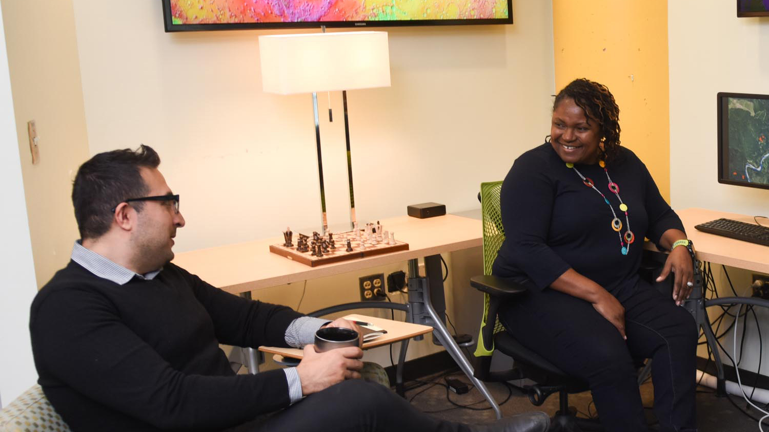
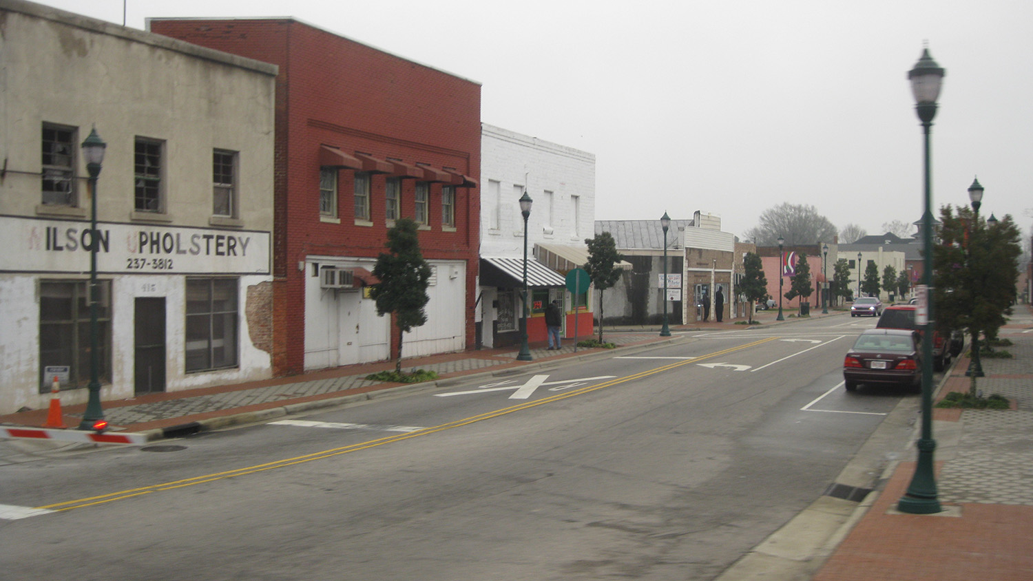
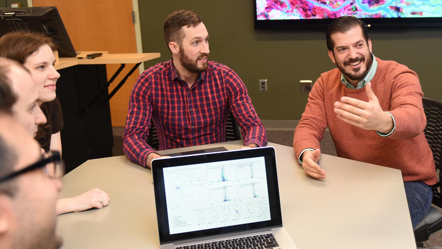
![hurricane-flood-damage - Center for Geospatial Analytics at NC State University](https://cnr.ncsu.edu/geospatial/wp-content/uploads/sites/22/2019/04/hurricane-flood-damage.jpg)
Hurricane Florence Inspires Disaster Research Workshop
![Jason Matney sits with fellow Center for Geospatial Analytics students](https://cnr.ncsu.edu/geospatial/wp-content/uploads/sites/22/2019/03/geospatial-0500-1500x844.jpg)
Jason Matney Is NC State’s 2019 Esri Development Center Student of the Year
![Vishnu Mahesh Vivek Nanda stands next to the GeoLab sign](https://cnr.ncsu.edu/geospatial/wp-content/uploads/sites/22/2019/03/20190222_165858-1500x844.jpg)
Partnership with Wake County a New Think (and Do) Tank for Harnessing Spatial Data
![Students watch a presentation](https://cnr.ncsu.edu/geospatial/wp-content/uploads/sites/22/2019/03/MAH7456-1500x844.jpg)
Center for Geospatial Analytics Seeking a Teaching Professor
![geospatial - Center for Geospatial Analytics at NC State University](https://cnr.ncsu.edu/geospatial/wp-content/uploads/sites/22/2019/03/geospatial-0520-1500x844v2.jpg)
A Passion for Teaching and the Future of GIS
![a sign with guidelines for stopping the spread of sudden oak death disease](https://cnr.ncsu.edu/geospatial/wp-content/uploads/sites/22/2019/02/sod_sign-1500x844.jpg)
Student Travel: Making Remote Sensing Connections at AGU
![Nikki Inglis presenting a poster](https://cnr.ncsu.edu/geospatial/wp-content/uploads/sites/22/2019/02/20181212_101542-Credit-IAWF-1500x844.jpg)
Student Travel: Rethinking Boundaries at the Human Dimensions of Wildfire Conference
![View of an agriculture field from an overhead drone](https://cnr.ncsu.edu/geospatial/wp-content/uploads/sites/22/2019/02/DJI_0799-1500x844.jpg)