GRASS Developer Summit 2025: Advancing Open Geospatial Science at NC State
The Center for Geospatial Analytics at NC State University hosted the GRASS Developer Summit 2025 this May, welcoming more than 30 contributors from around the world for a week of collaborative development, scientific exchange, and strategic planning. Held on NC State’s campus in Raleigh, the summit served as the annual flagship event of the GRASS open-source project — bringing together software engineers, researchers, educators, and practitioners to advance the future of open geospatial science. “While the Center helped organize the past two GRASS annual meetings, this was the first one held in North America, and it was twice the size of the previous gatherings,” emphasizes Dr. Vaclav Petras, senior research software engineer with the Center and chair of the summit organizing committee.
A Crossroads of Research, Education, and Infrastructure
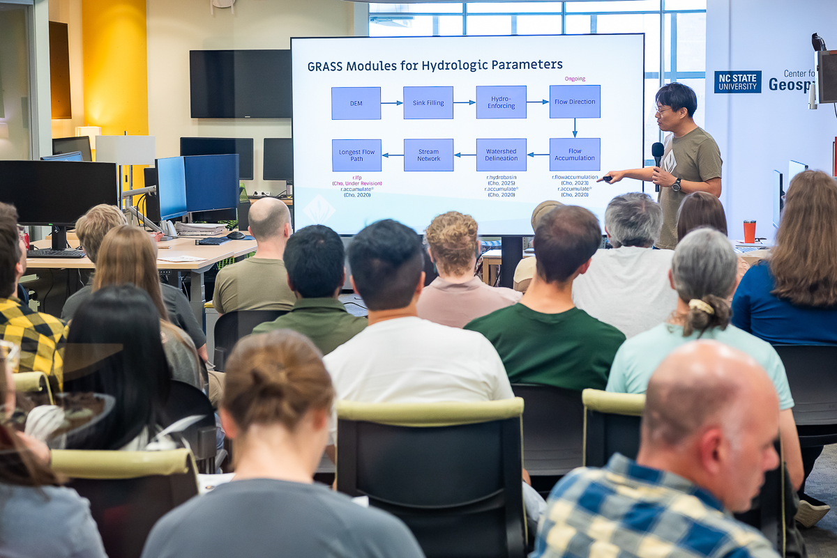
Throughout the week, participants collaborated intensively on GRASS — a robust open-source engine for spatial data analysis, modeling, and visualization. The summit featured working groups on topics such as hydrology, data interoperability, and user interface design, alongside roadmap planning and the co-creation of tools and learning resources to strengthen the platform’s scientific and educational impact. While contributors work on GRASS year-round, most collaboration happens online and asynchronously. The in-person setting helped the community navigate complex decisions more efficiently. “Discussing things in person is always much more valuable than doing it online,” noted one of the participants.

The contributions reflected a dynamic mix of expertise and engagement levels:
- Core developers focused on high-impact technical work, including packaging improvements, namely conda, compliance with the Filesystem Hierarchy Standard (FHS), continuous integration, and API design. These changes will be especially impactful for data scientists and data engineers using GRASS in their pipelines.
- New contributors and first-time participants, including early-career researchers and graduate students, published their scientific code openly for the first time thanks to the support received at the event or collaborated on scientific workflows using GRASS as a reproducible engine. These contributions included early support for hyperspectral data, integration with xarray and Jupyter, new parallel algorithms and a prototype of an AI-powered assistants for GRASS.
- Educators contributed new materials for the project’s growing tutorial platform, supporting onboarding, classroom use, and hands-on learning in Earth and environmental sciences.
Collectively, these efforts strengthened GRASS as both a scientific platform and a learning resource—enabling open, reproducible, and collaborative geospatial research. The momentum didn’t stop at the summit—contributors remained actively engaged after the event, continuing their collaborations, submitting improvements, and turning ideas sparked in person into contributions. “I’m looking forward to becoming more involved and doing my part to make it better,” shared one of the participants.
Lightning Talks and Regional Outreach
As part of the summit, the Center hosted an evening of lightning talks to foster connections with the local geospatial community. Speakers from industry, government, and academia presented applications of GRASS in infrastructure planning, hydrography, coastal erosion modeling, agricultural runoff simulation, and more. The evening emphasized how GRASS serves as a shared foundation for innovation across public, private, and academic geospatial initiatives. “Each of the lightning talks was great by itself, but all together showed how the GRASS project closes the gap between research and application,” Dr. Petras adds.

Funded by NSF to Support Open Source Ecosystems
The summit was supported through NSF’s Pathways to Enable Open-Source Ecosystems (POSE) program (award 2303651), which fosters the development of open-source ecosystems that drive innovation in response to national and societal needs. The award supports the GRASS community’s efforts to modernize its infrastructure, streamline contributor onboarding, and grow a socially and technologically sustainable ecosystem. Many of these goals were advanced during the summit, expanding access to GRASS as a collaborative geospatial platform that empowers reproducible research across disciplines. The Center served as a lead organizing partner, providing facilities, coordination, and event leadership with additional financial support from Bohannan Huston, Inc.


