Feb 13, 2020
Visual Analysis of Ship Data Using Omnisci Immerse
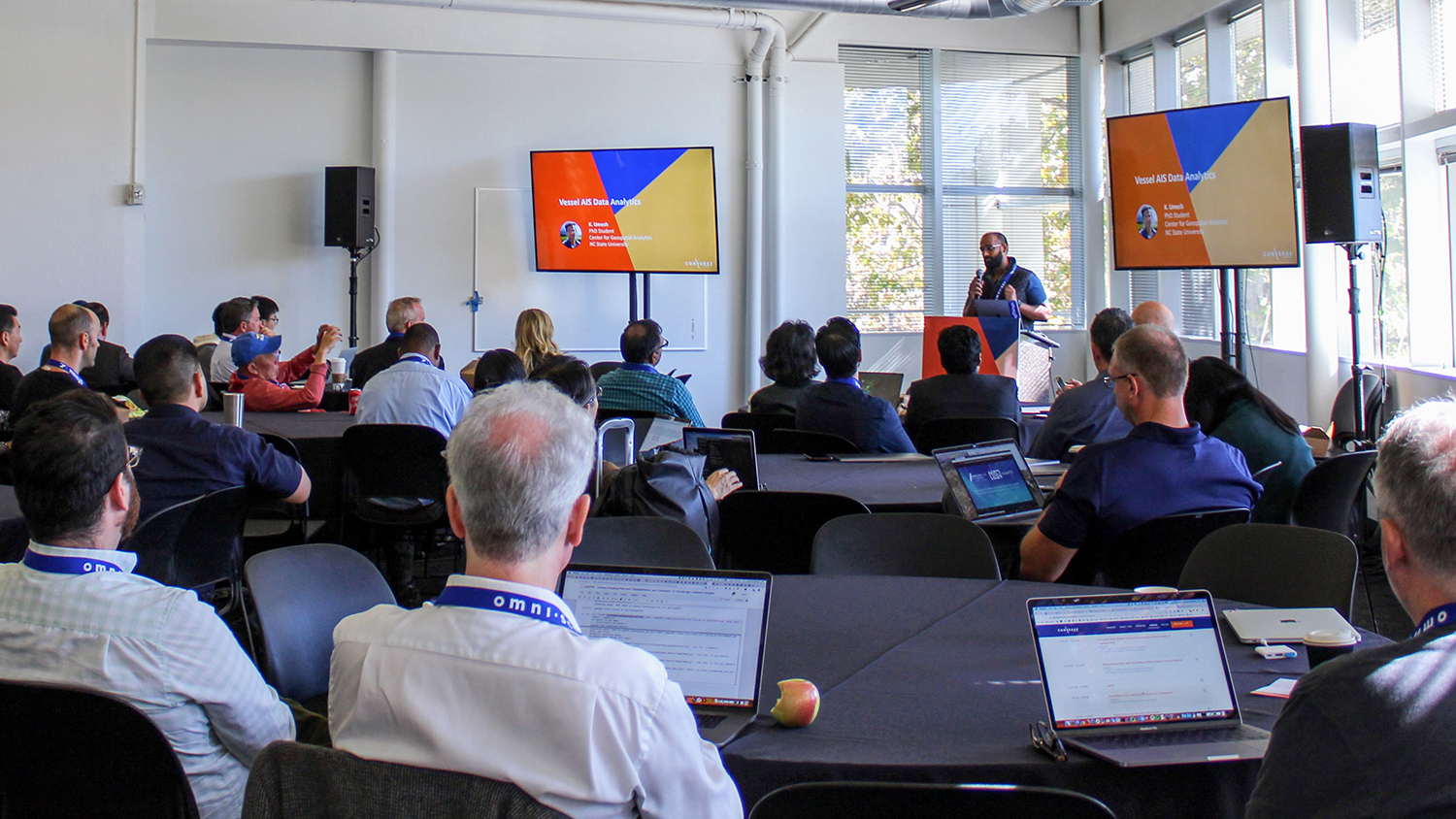
Geospatial Analytics Ph.D. student Umesh Gupta was invited to speak at Converge 2019, the inaugural conference organized by the company Omnisci, about his award-winning work mapping big data from ships.