Mar 27, 2018
New Research Shows Water Use Impacted by the Shape of Our Cities
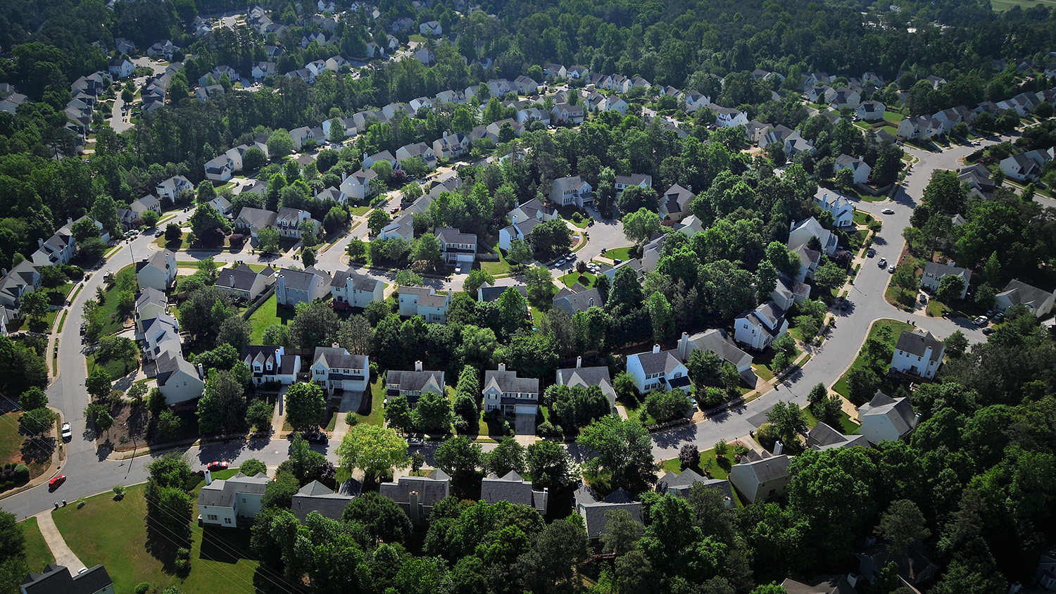
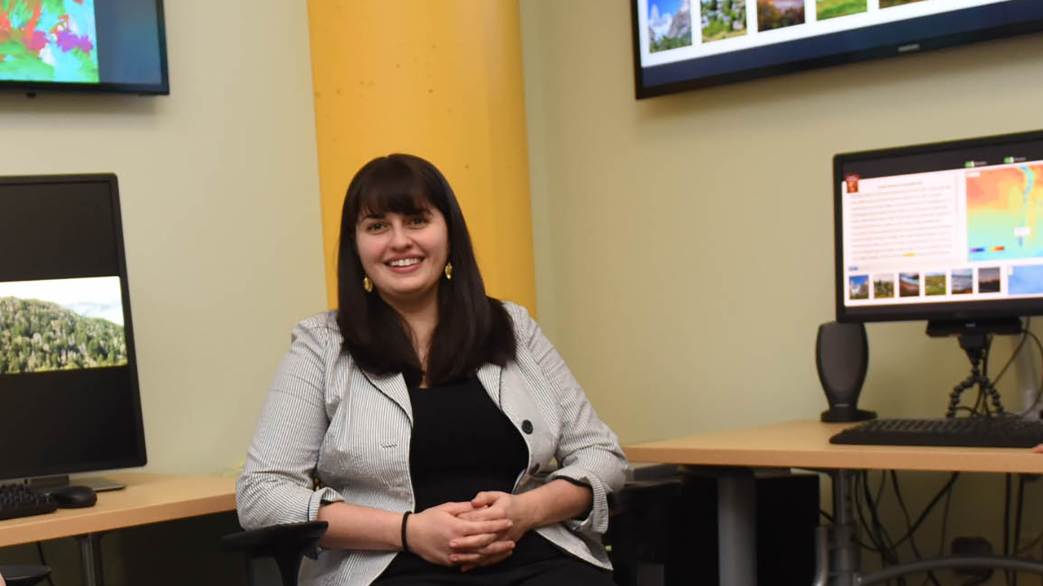
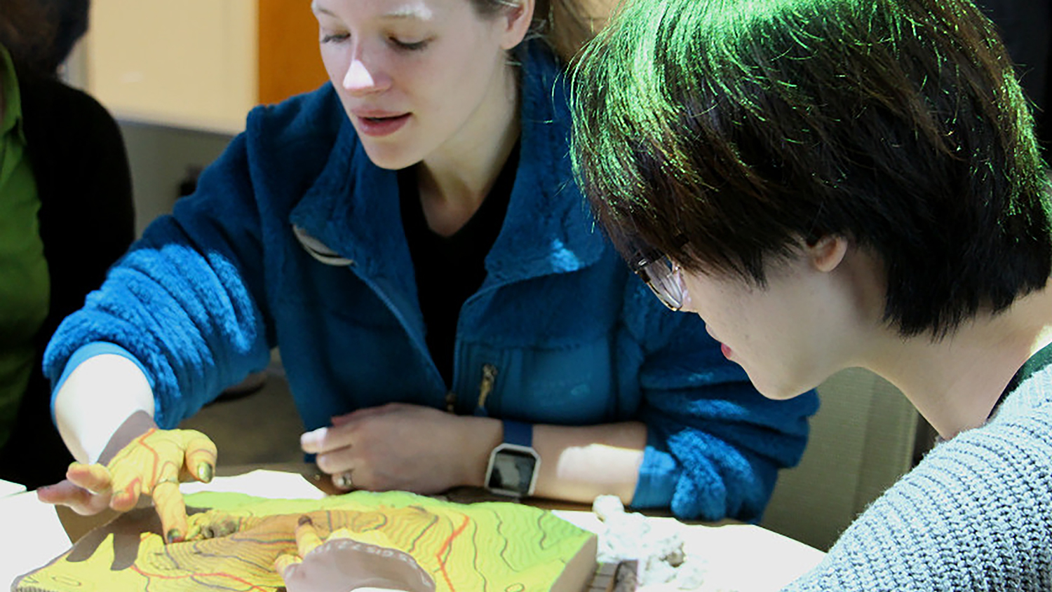
Georgina Sanchez, Ph.D. student in the Department of Forestry and Environmental Resources, is using geospatial analytics to understand water demand in the Southeast. Her latest findings: urban developments with simpler shapes use less water.