Laura Oleniacz
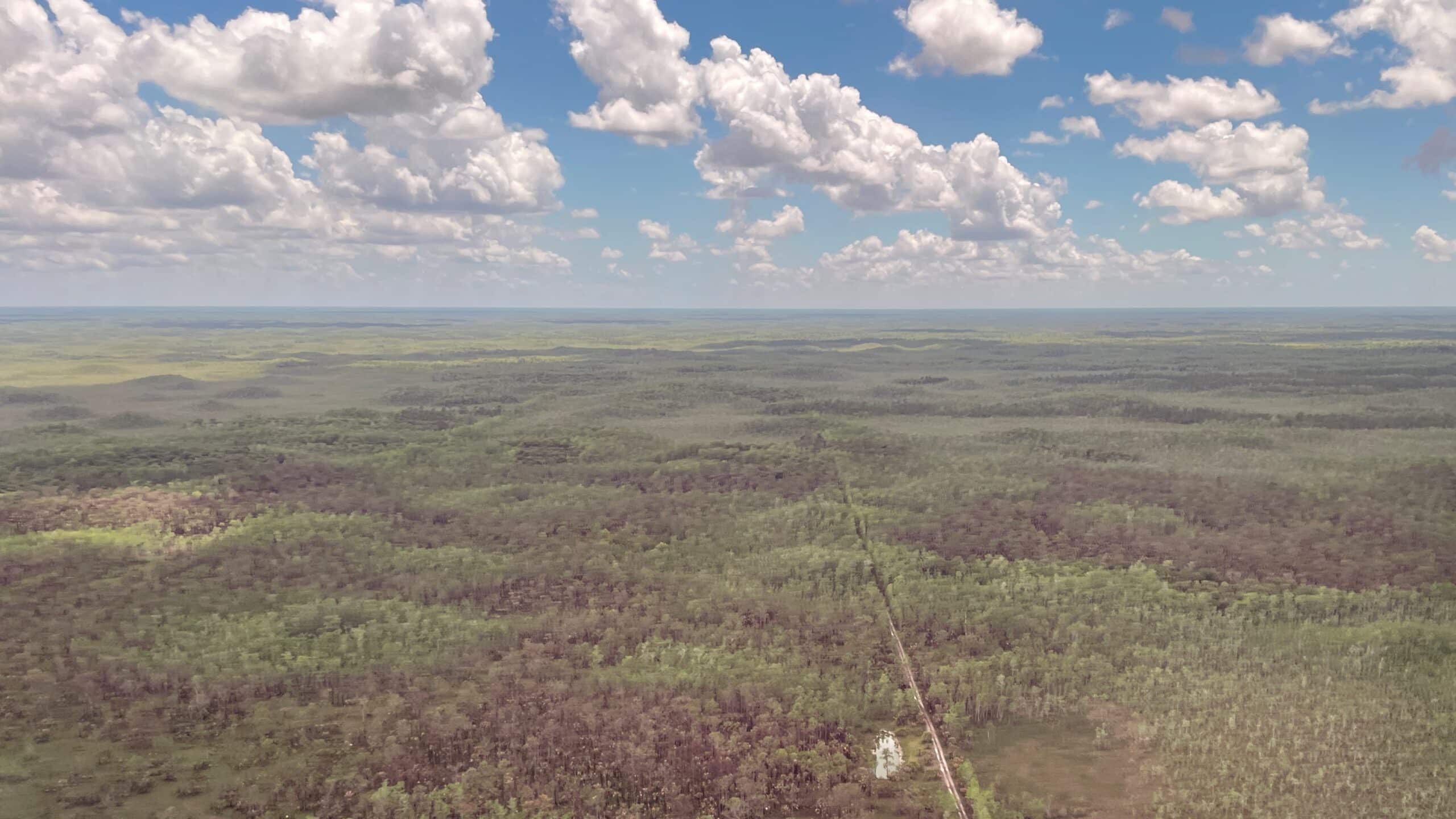
New Tool Maps South Florida Fire Risk Pixel by Pixel
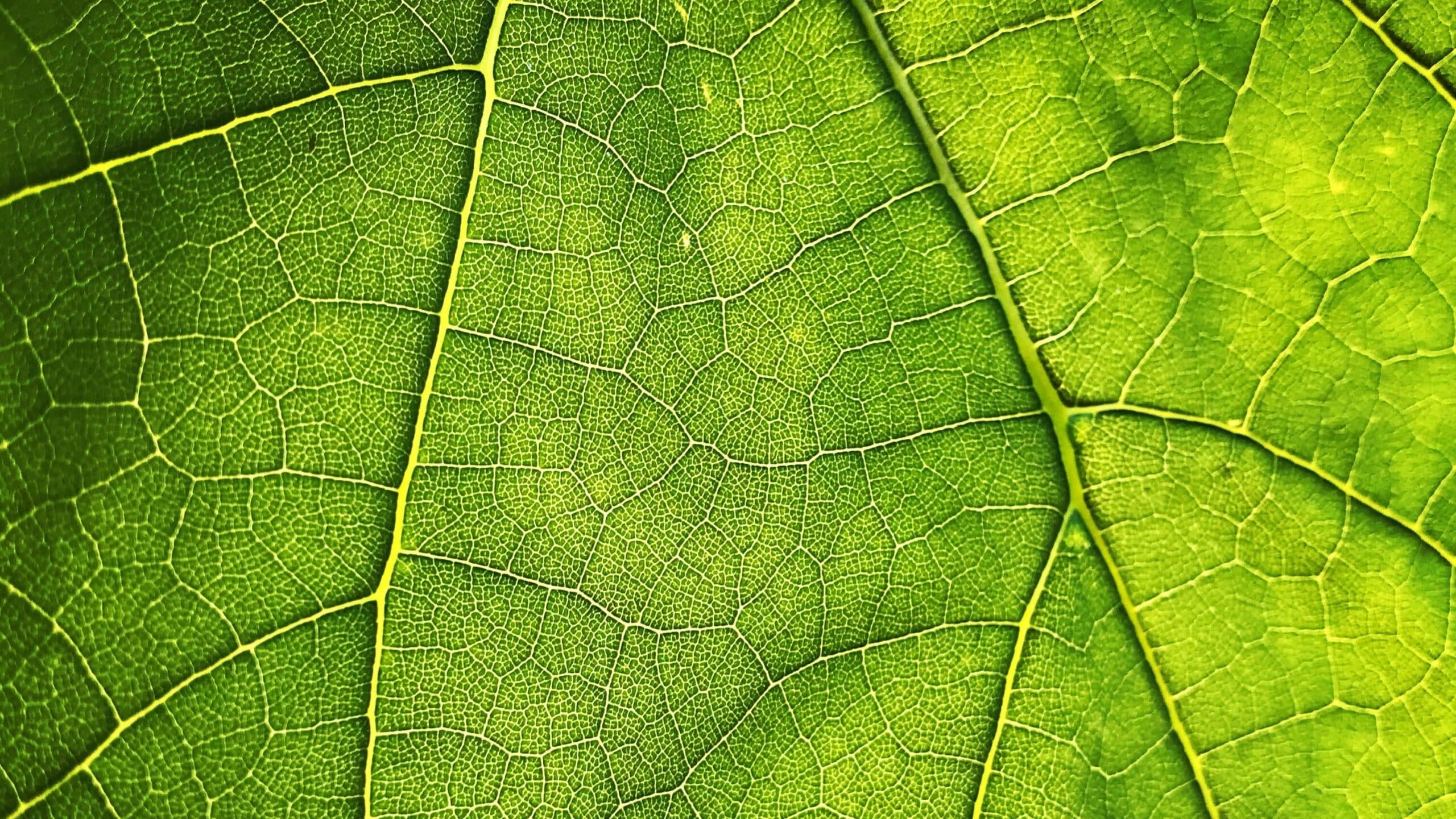
Scientists Use Satellites To Track Earth ‘Greening’ Amid Climate Change

Tweets, News Offer Insights on Invasive Insect Spread
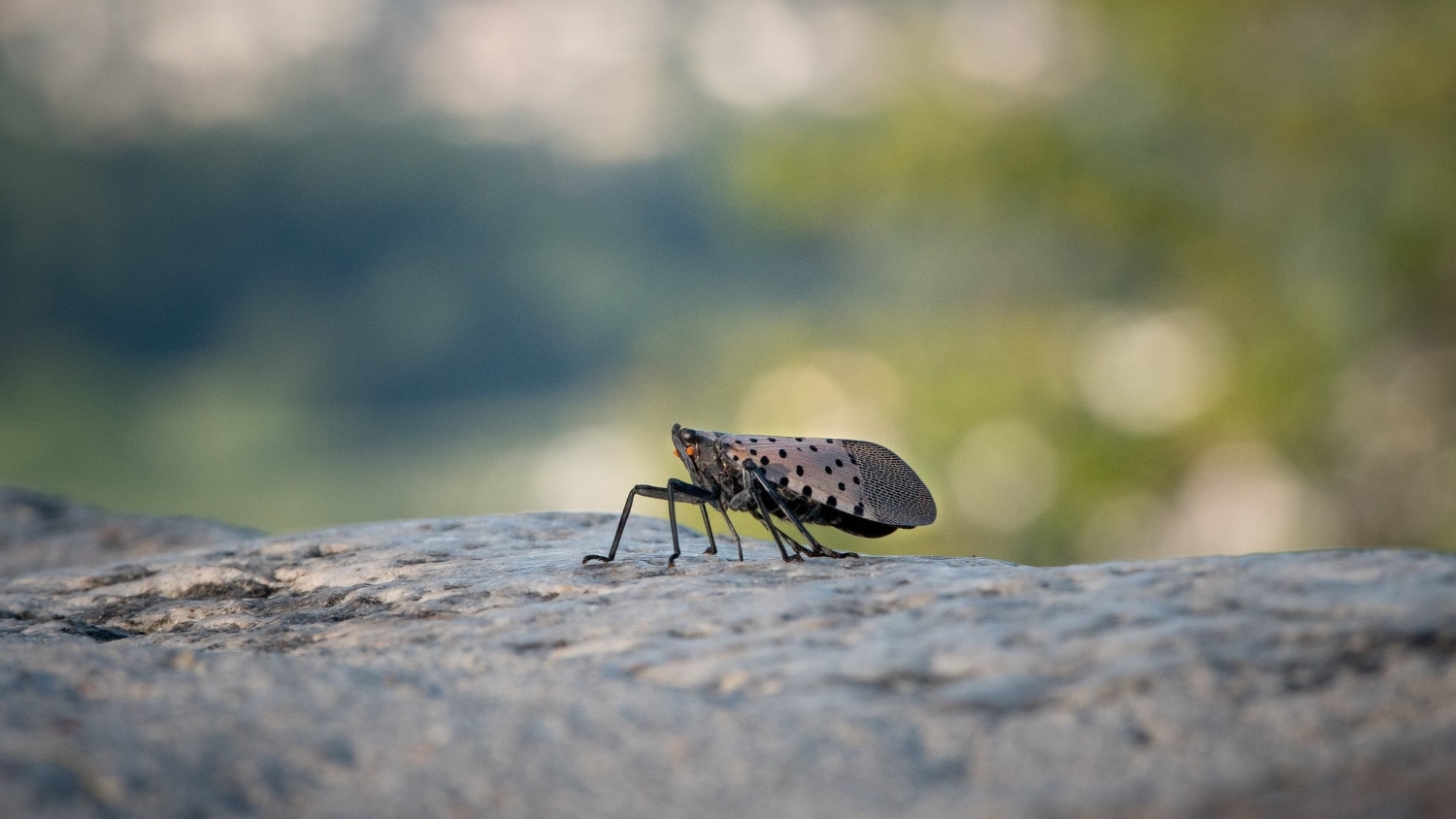
Invasive Insect that Kills Grapes Could Reach California Wine Region by 2027
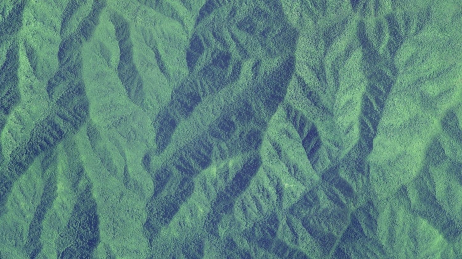
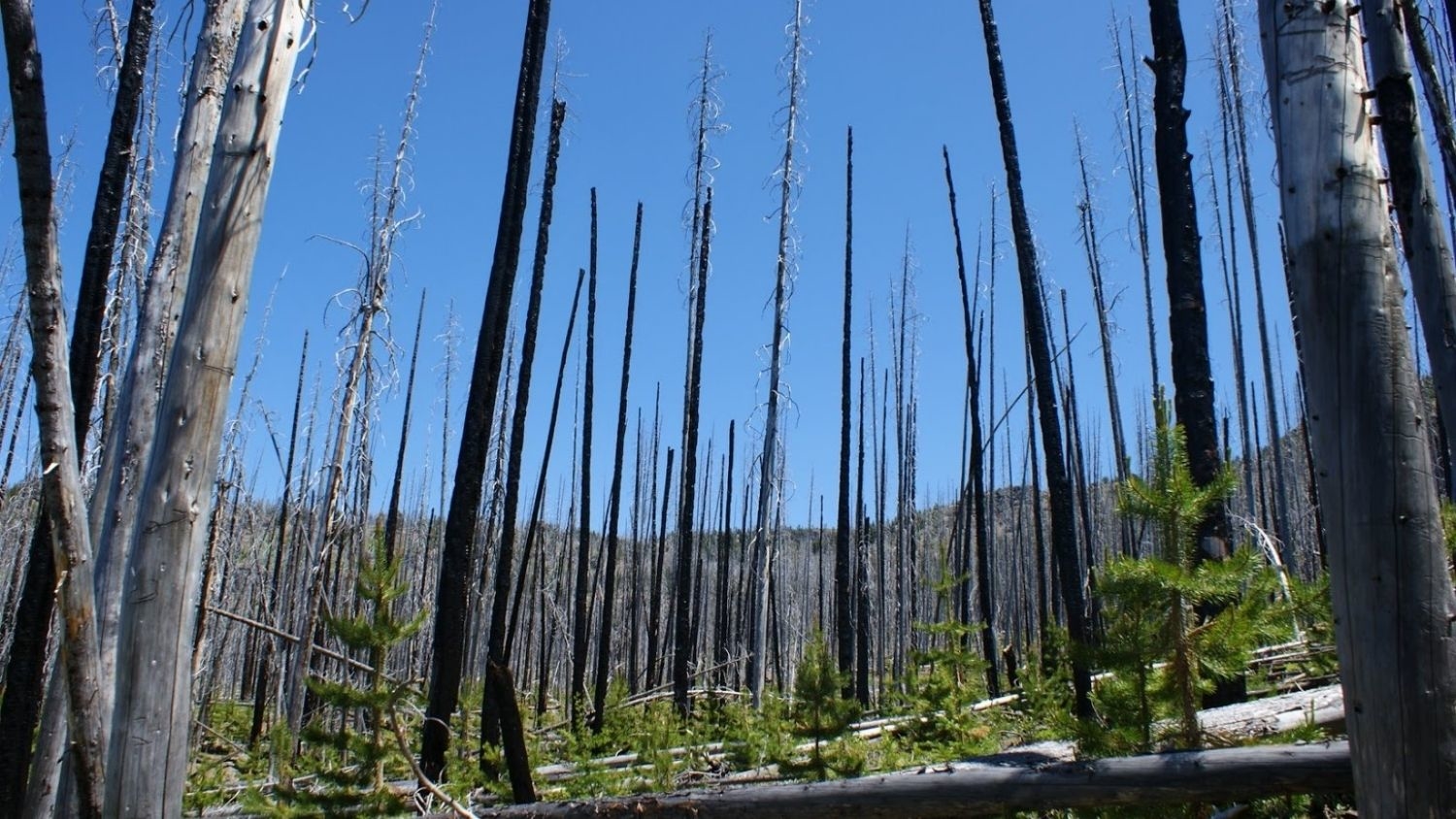
During Droughts, Thirstier Mountain Forests Could Mean Less Water Downstream
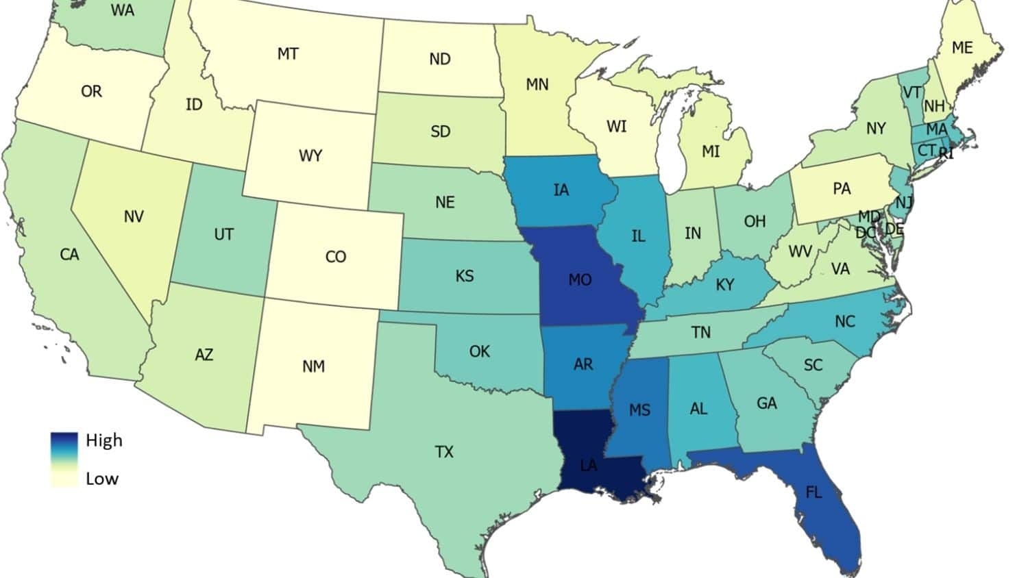
Study: U.S. Flood Damage Risk Is Underestimated
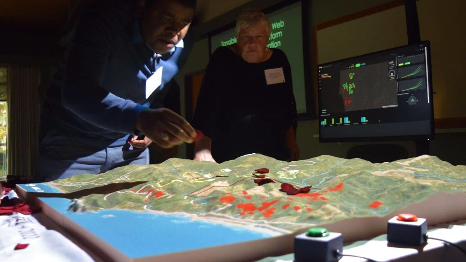
Researchers Design Simulation Tool to Predict Disease, Pest Spread
Analysis: Studies of U.S. National Parks Are Trending Down, Focused on Popular Parks
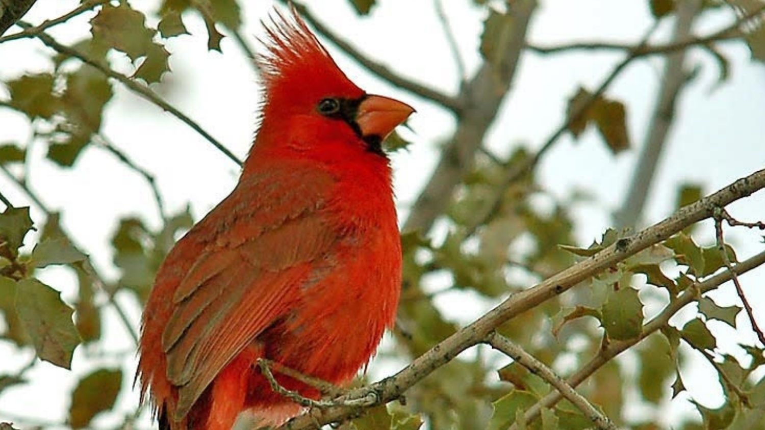
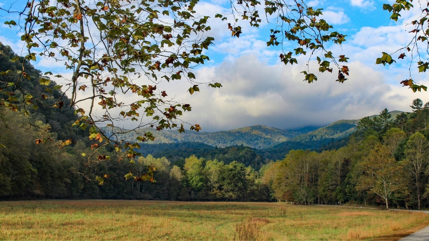
Ecologist: People Should Prepare for Landscapes to Change