Staff

Using Written Records – and Tweets – as a Roadmap for Plant Disease Spread

Graduating Student Spotlight: Xiaojie Gao

New Model Adds Human Reactions to Flood Risk Assessment

Greener Neighborhoods Can Protect Us – at the Cellular Level

New Tool Maps South Florida Fire Risk Pixel by Pixel

Researchers Use Geospatial Analytics and AI to Develop Global Food Security Solutions

Scientists Use Satellites To Track Earth ‘Greening’ Amid Climate Change

Tweets, News Offer Insights on Invasive Insect Spread

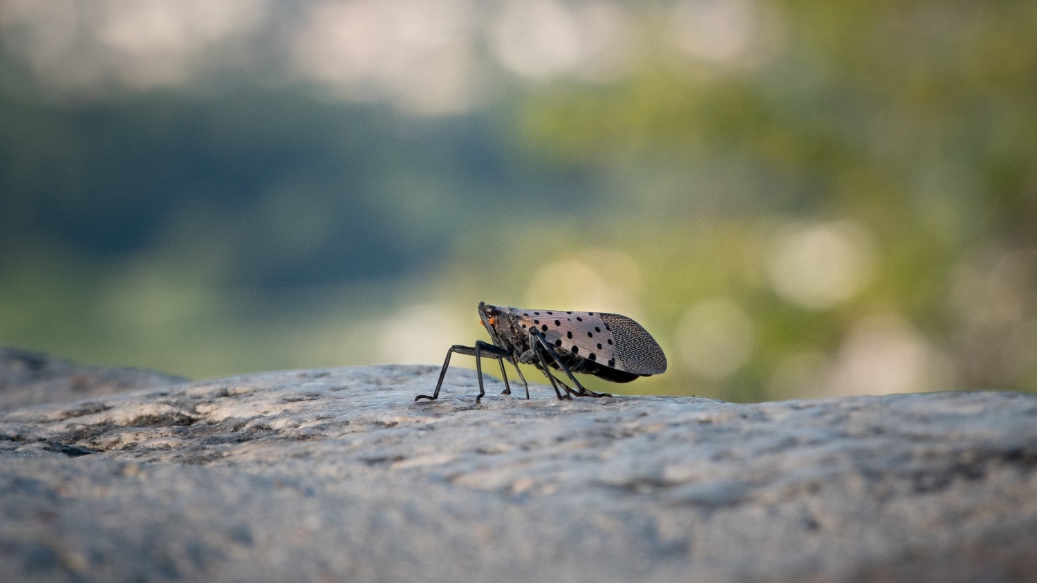
$1M NSF Grant Awarded to Help Better Predict Emerging Plant Disease Pandemics
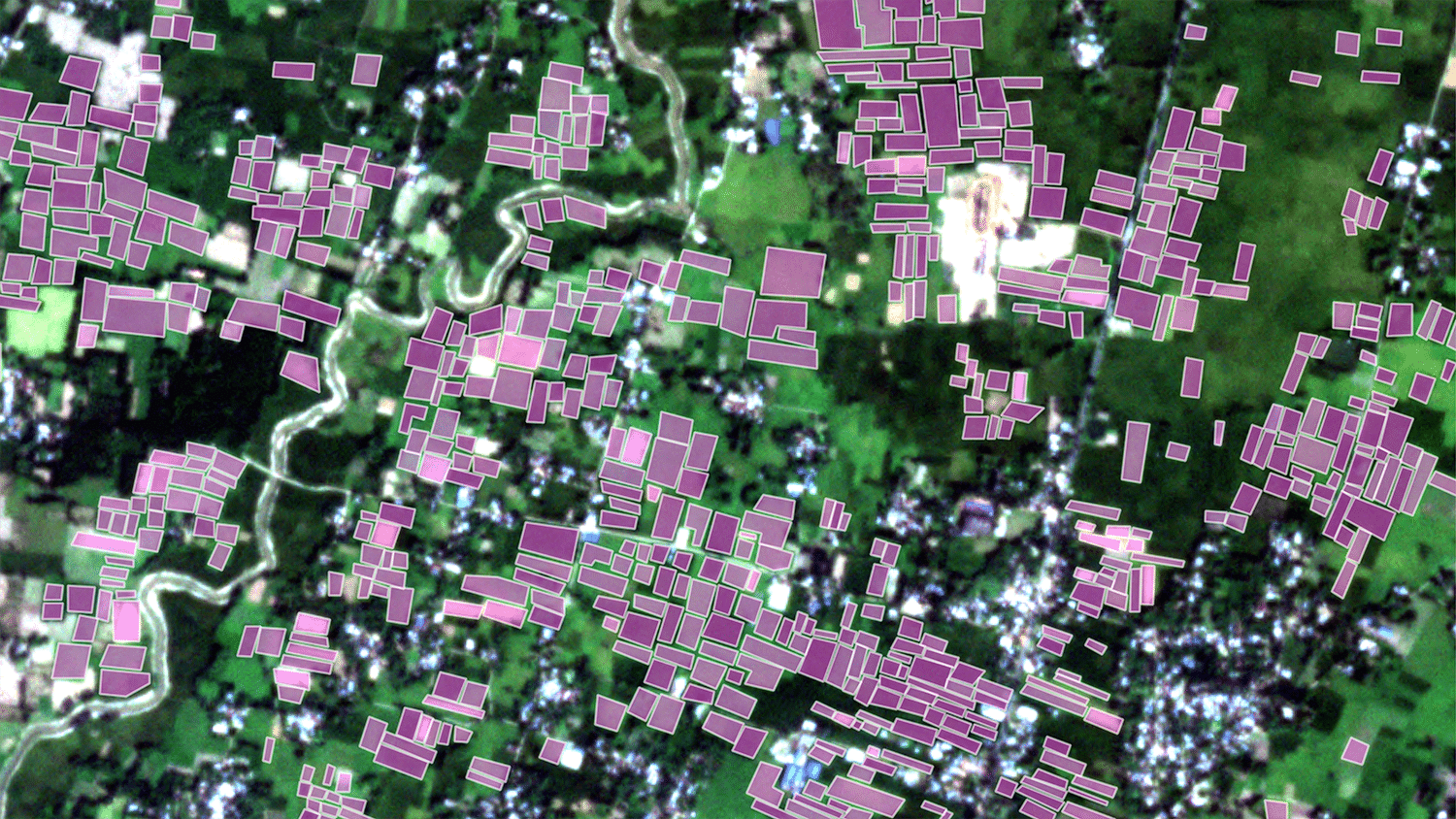
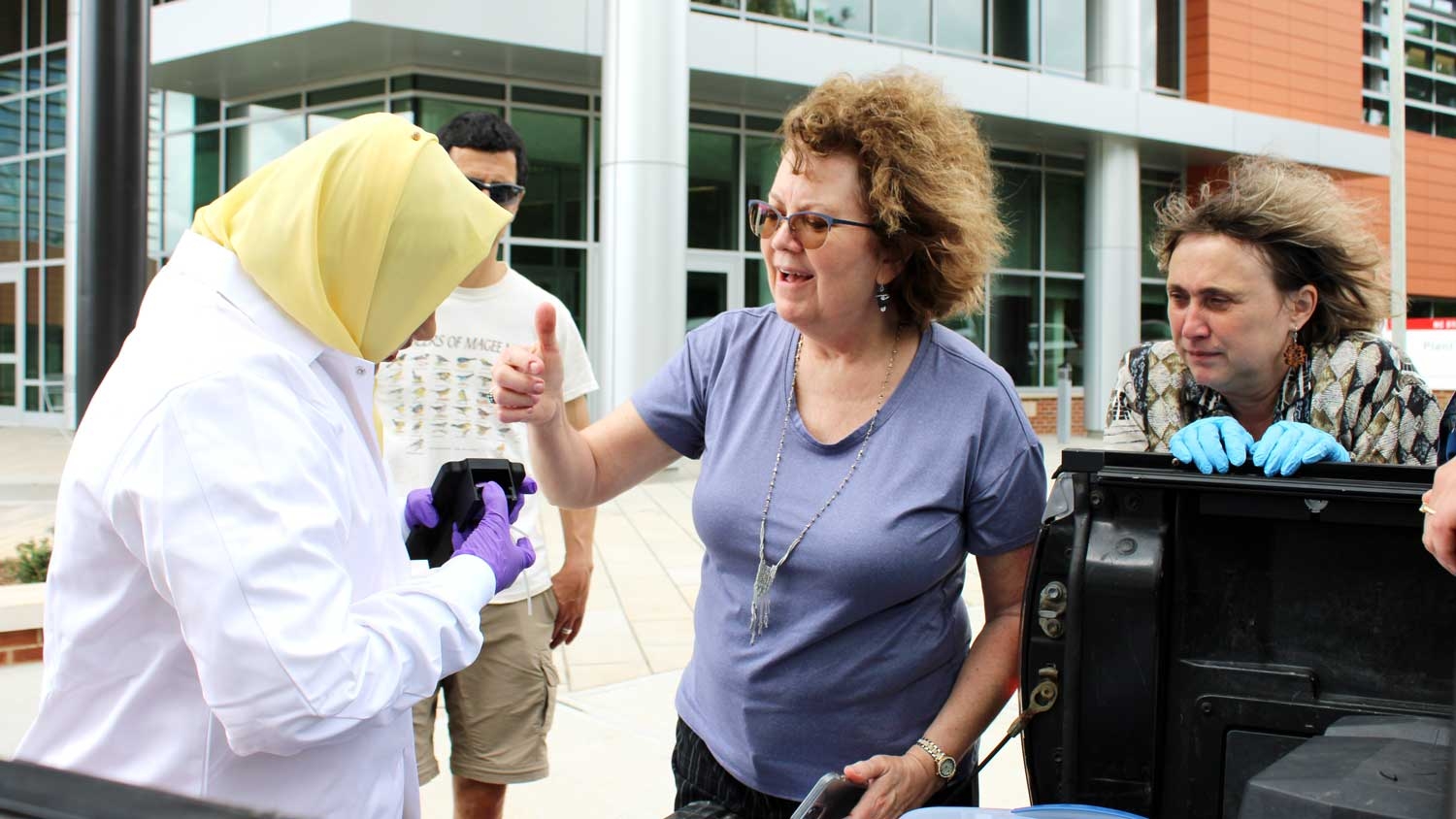