Mar 27, 2026
A new study finds that commercial satellite imagery data often outperforms public data sets when identifying surface water, but that public data sets may be better at detecting water hidden by forest cover.
Nov 6, 2025
Osia is a Ph.D. candidate in Geospatial Analytics. She is a National Science Foundation Graduate Research Program Fellow and a GEM Fellow. She has also participated in the Yale University Environmental Fellows Program and received the U.S. Geospatial Intelligence Foundation Stu Shea Endowed Scholarship.
Sep 29, 2025
As a North Carolina Space Grant Graduate Research Fellow, Geospatial Analytics Ph.D. student Gwen Kirschke is shooting for the stars — but not in the way you might think.
Sep 2, 2025
The Center for Geospatial Analytics welcomes its seventh cohort of Geospatial Analytics Ph.D. students!
Jul 2, 2025
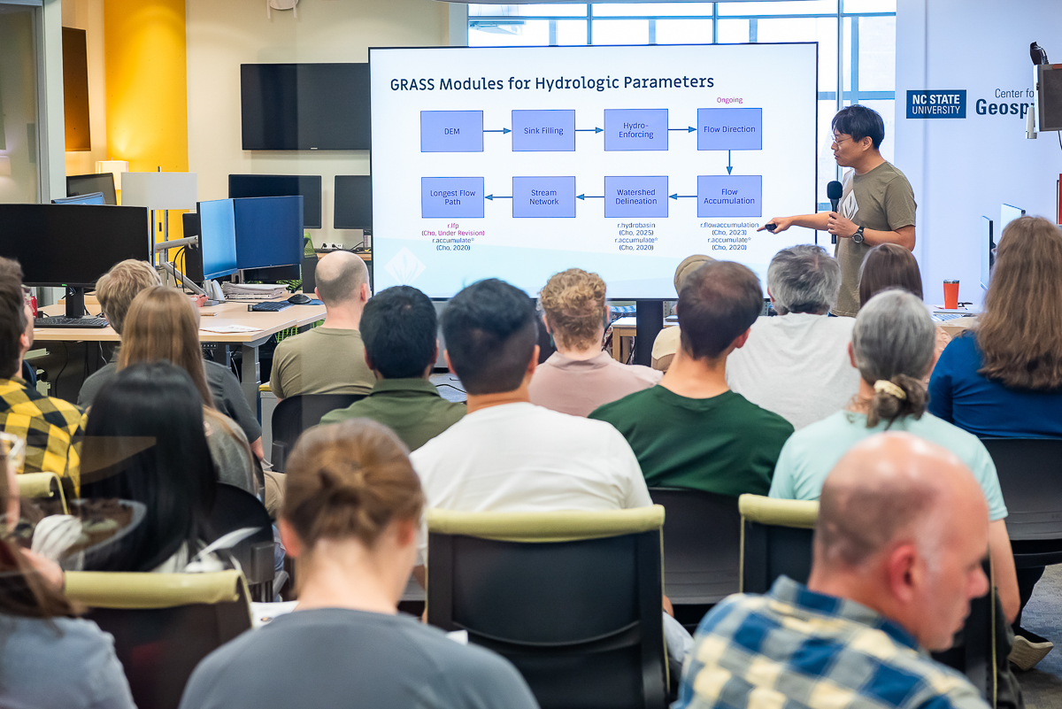
The Center for Geospatial Analytics hosted the GRASS Developer Summit 2025 this May, welcoming more than 30 contributors from around the world.
May 14, 2025
Students in the Master of Geospatial Information Science and Technology (MGIST) program are showing how maps and data can help solve real problems in our communities.
Apr 23, 2025
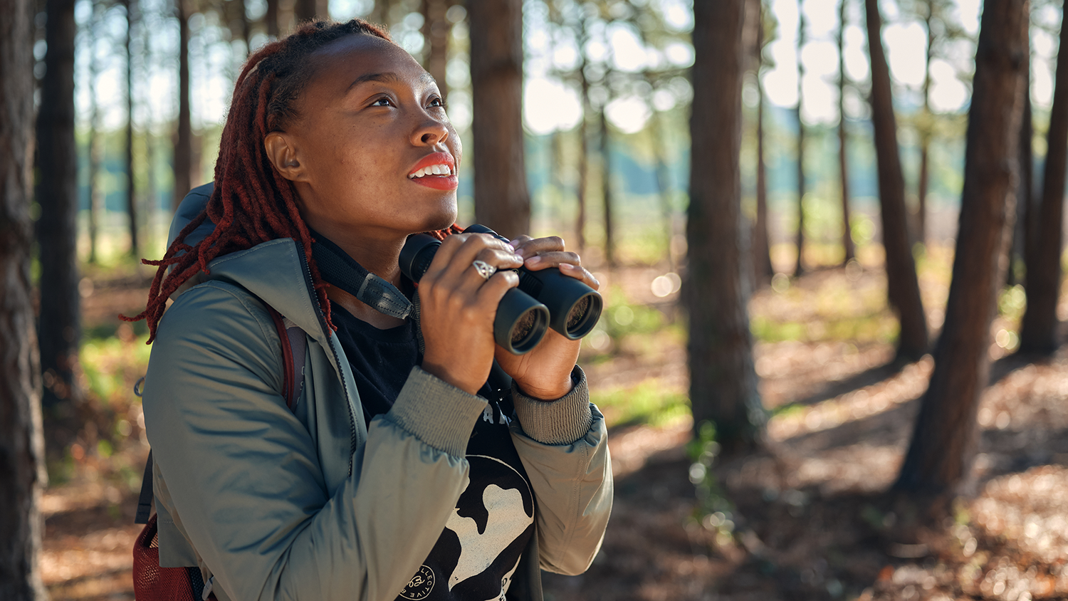
Deja Perkins, a Ph.D. candidate in Geospatial Analytics, has been named Young Conservationist of the Year by the North Carolina Wildlife Federation.
Apr 15, 2025
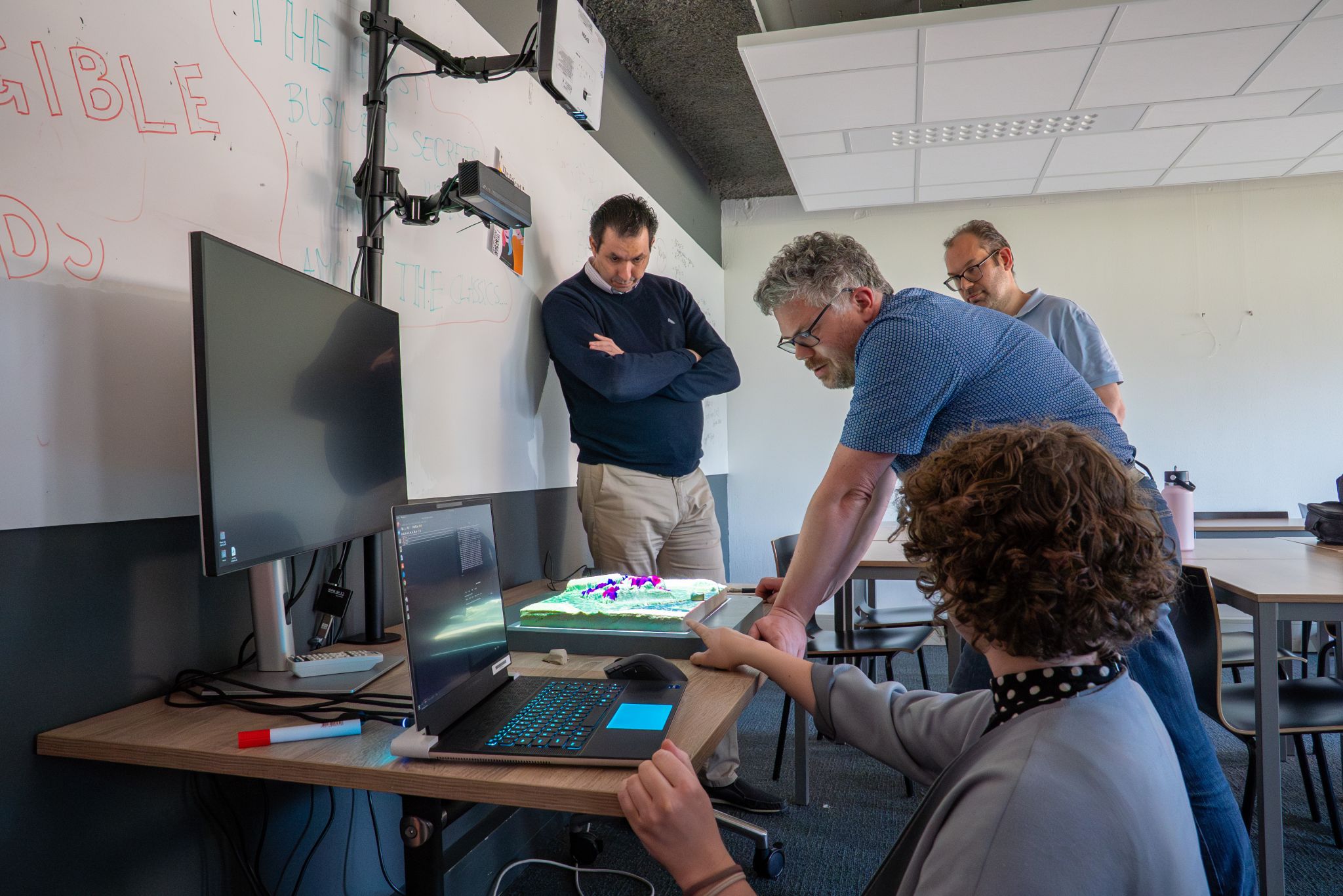
Geospatial Analytics student Caitlin Haedrich traveled to Breda University of Applied Sciences as a guest researcher to install and demonstrate usage of this innovative, open-source tool.
Apr 11, 2025
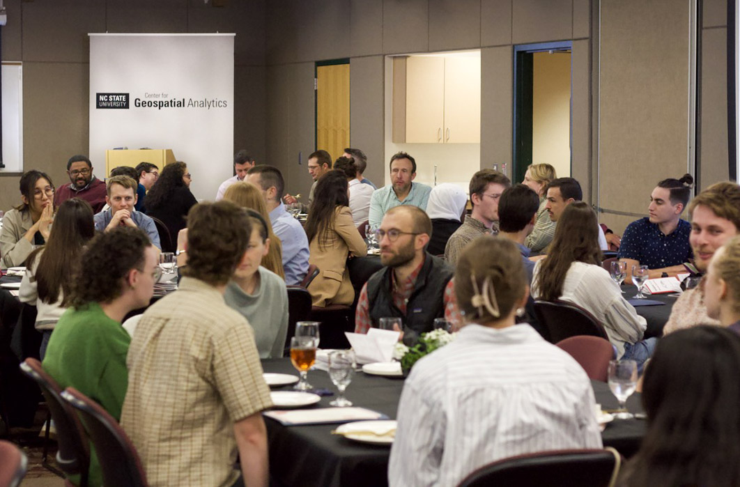
On April 8, the Center for Geospatial Analytics celebrated its sixth awards ceremony, honoring achievements by our exceptional students, faculty and staff.
Jan 7, 2025
Common methods of communicating flood risk may create a false sense of security, leading to increased development in areas threatened by flooding.
TOP LINKS