Jan 15, 2026
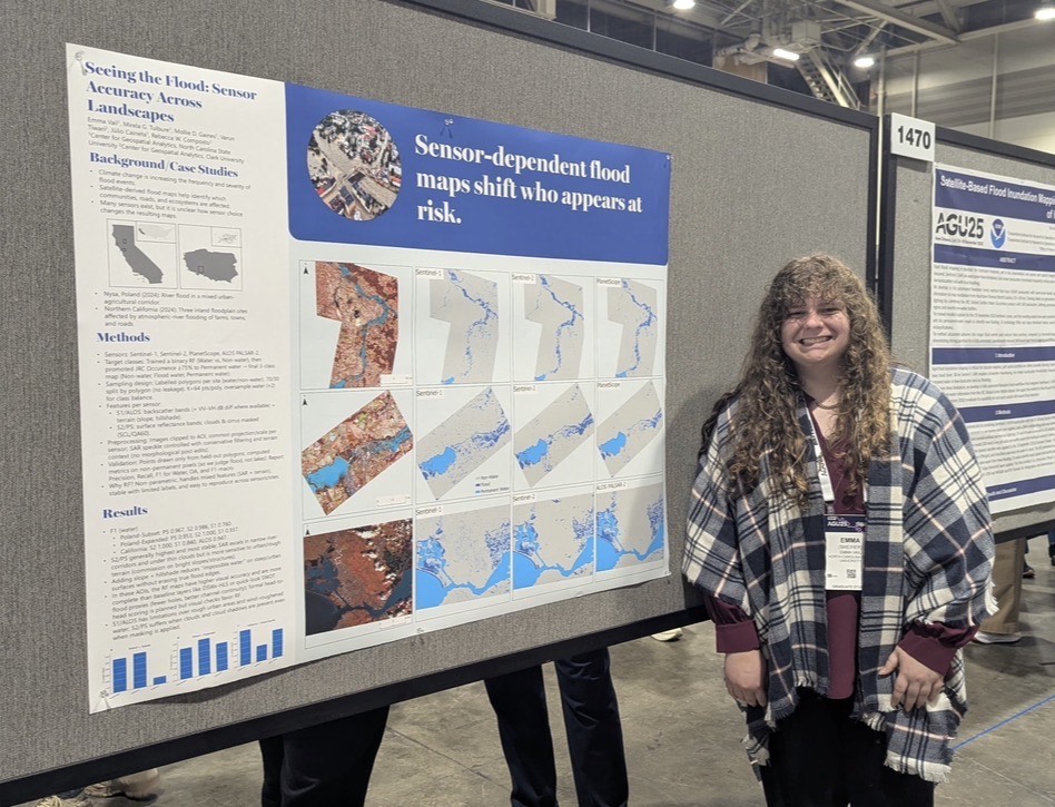
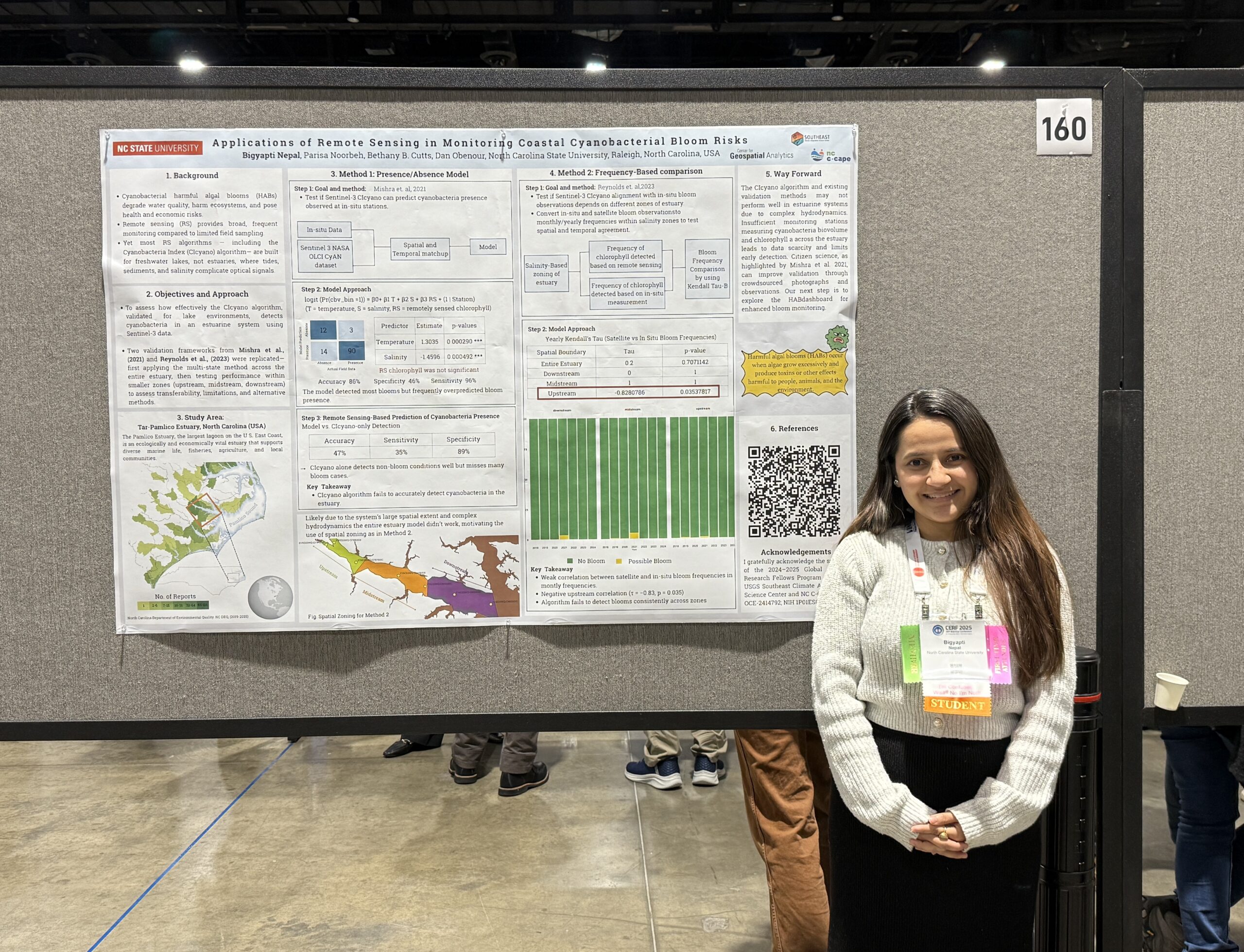
Exploring Flooding in the Crescent City at AGU 2025
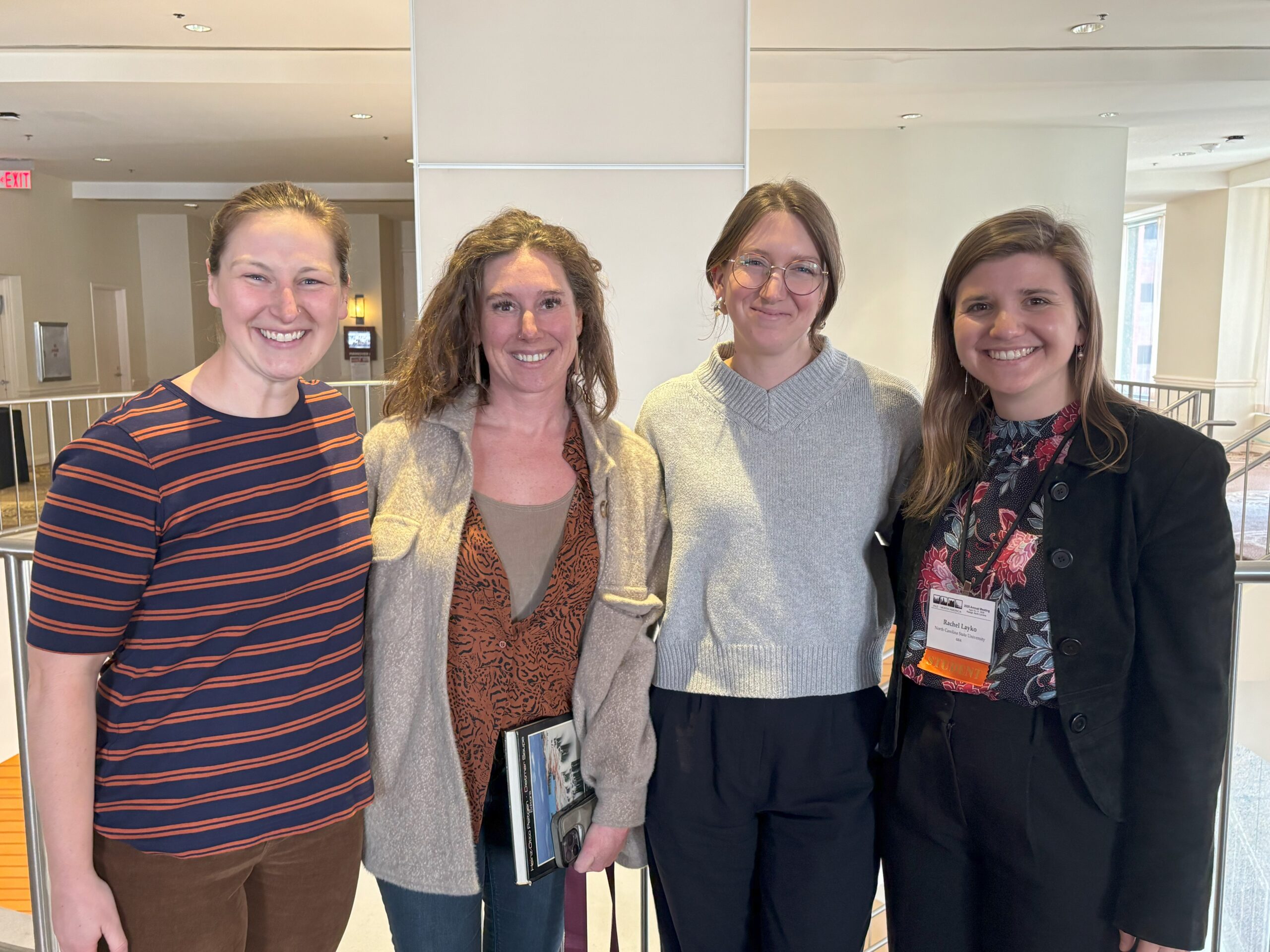
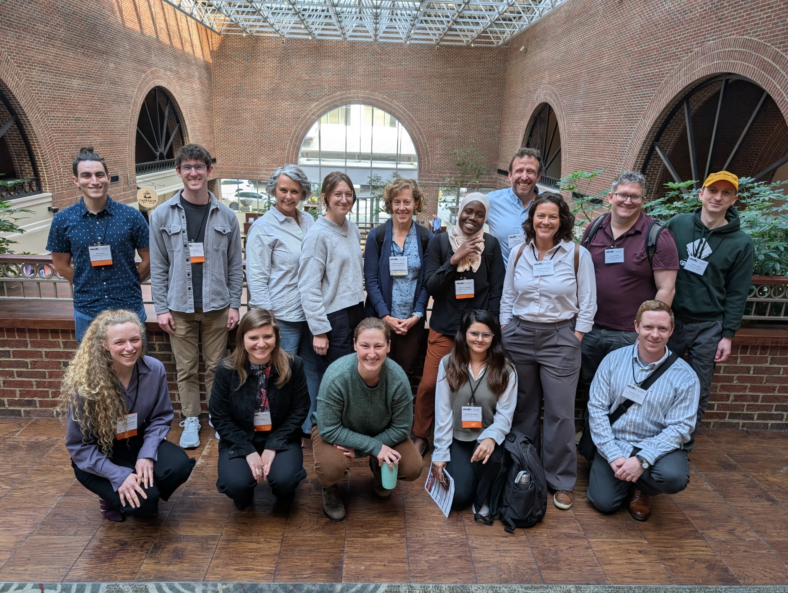
At AGU 2025 in New Orleans, conversations about flooding extended far beyond data and models - into creativity, collaboration, and the hard work of staying focused on solutions in the face of climate challenges.