Aug 6, 2025
The second year Geospatial Analytics Ph.D. student was one of only five students selected for the competitive, interdisciplinary fellowship.
Jul 21, 2025
Kirschke's project will leverage remote sensing to create continuous maps of floral resources to understand and predict resource limitations.
Jun 23, 2025
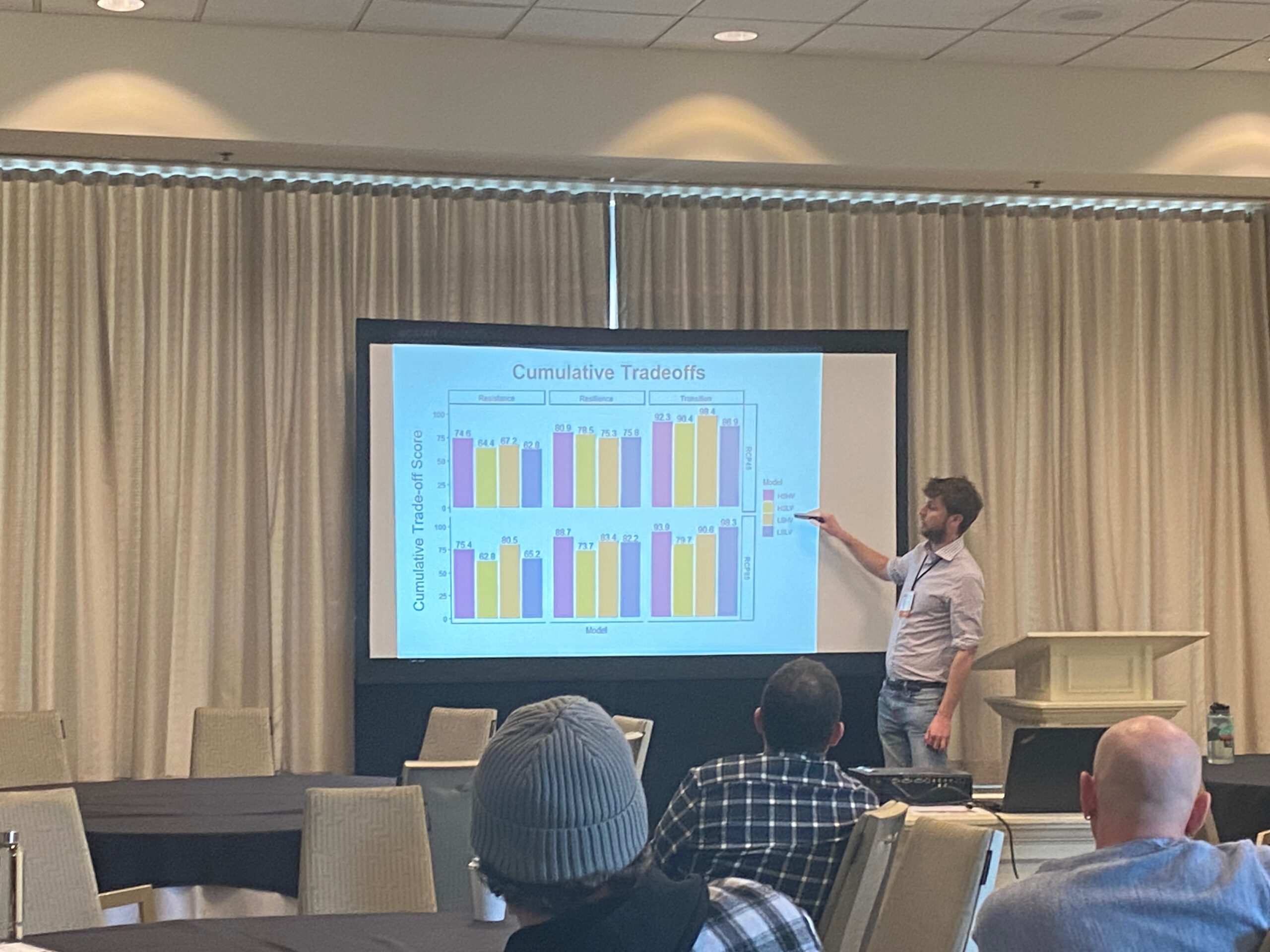
Ph.D. students Pratikshya Regmi and Caitlin Haedrich recently led a hands-on training at the 2025 Annual Meeting of the Community Surface Dynamics Modeling System (CSDMS).
Jun 13, 2025
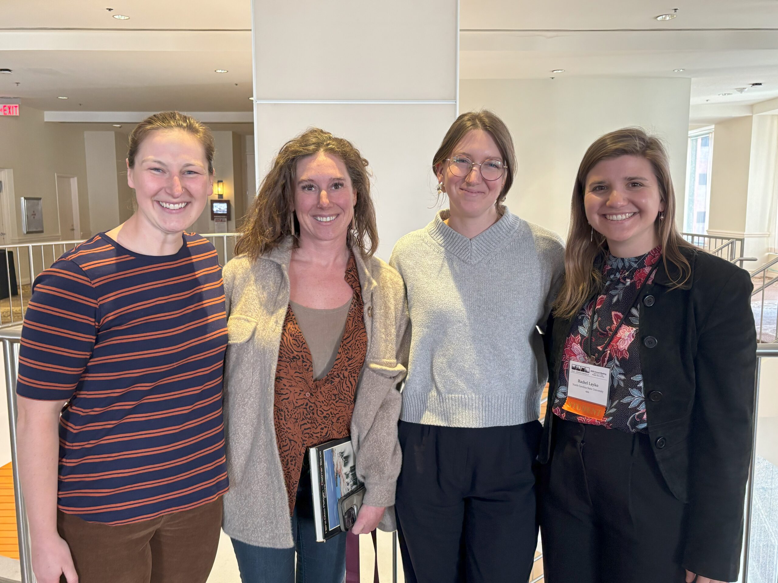
Rachel Layko connected with Ph.D. alumni and shared her research on the vulnerability of National Park Service battlefield parks to a changing climate at the International Association of Landscape Ecology conference.
Jun 5, 2025
Brit Laginhas writes about finding her place in the landscape ecology community through presenting at the International Association for Landscape Ecology-North America (IALE-NA) conference.
May 28, 2025
Geospatial Analytics Ph.D. student Kelly van Woesik is first author of a new study that connects overfishing, water pollution and climate change to the change in sea-urchin populations.
May 23, 2025
Margaret Lawrimore presented her research on how zoning shapes development patterns across North Carolina at the International Association for Landscape Ecology conference.
May 14, 2025
Students in the Master of Geospatial Information Science and Technology (MGIST) program are showing how maps and data can help solve real problems in our communities.
May 1, 2025
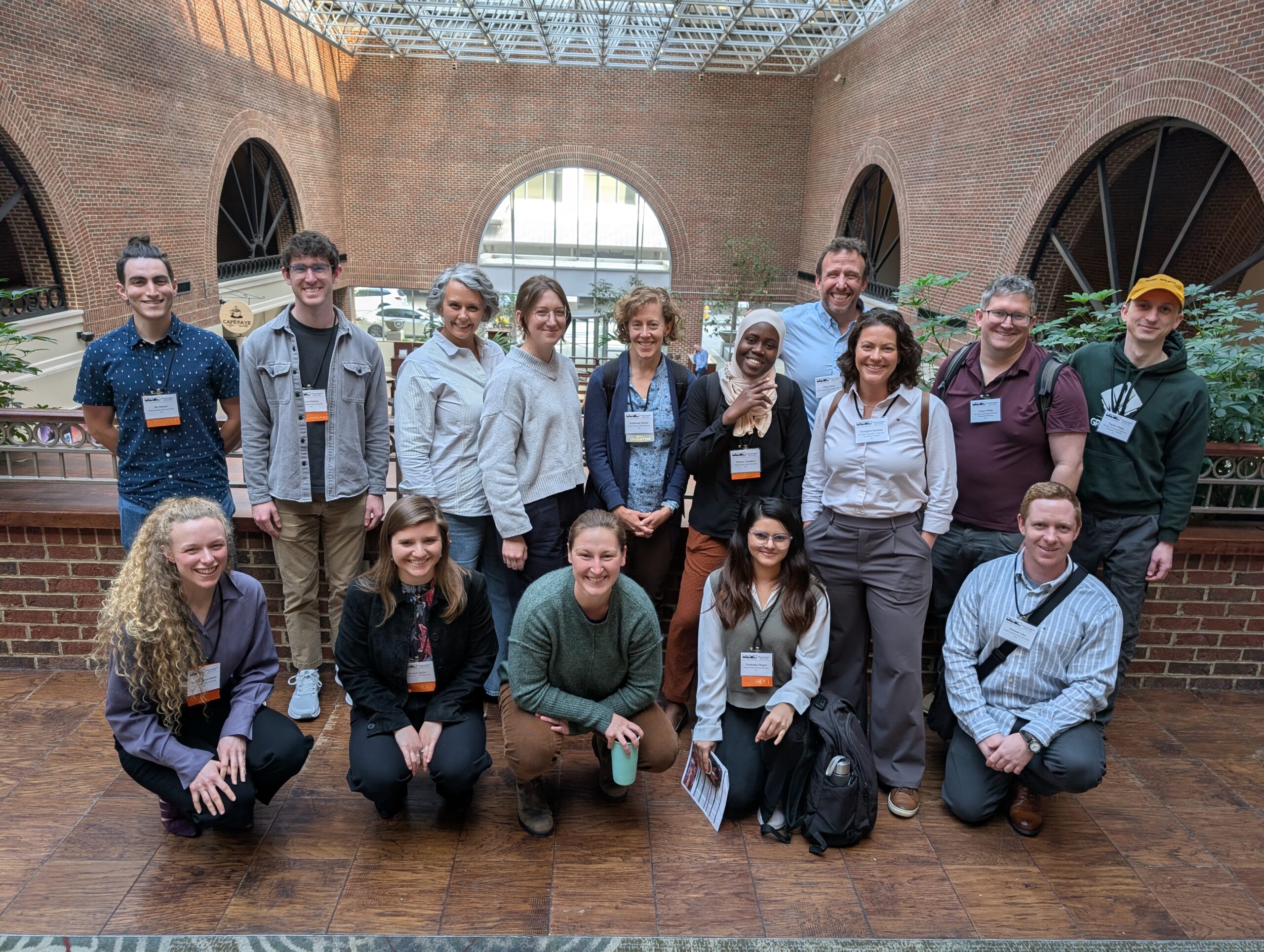
Ph.D. student Louis Goodall shares his experience attending the International Association for Landscape Ecology conference, where he presented his research exploring different harvesting methods in the face of increasing climate uncertainty.
Apr 23, 2025
Deja Perkins, a Ph.D. candidate in Geospatial Analytics, has been named Young Conservationist of the Year by the North Carolina Wildlife Federation.
TOP LINKS