
software release

screenshot of the GRASS GIS interface

Jul 7, 2022

New Version of GRASS GIS Released with Leadership from Center for Geospatial Analytics Researchers

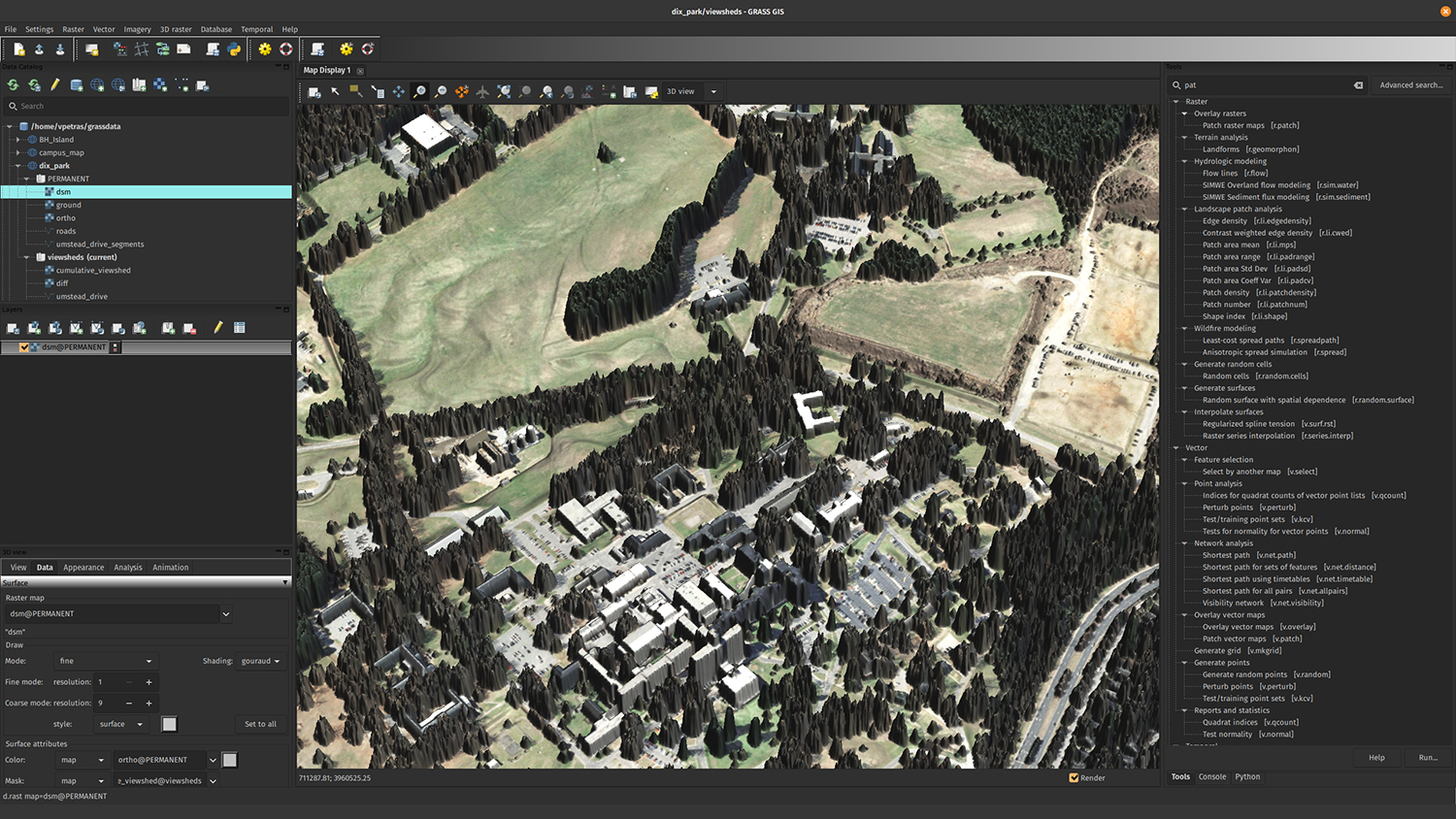
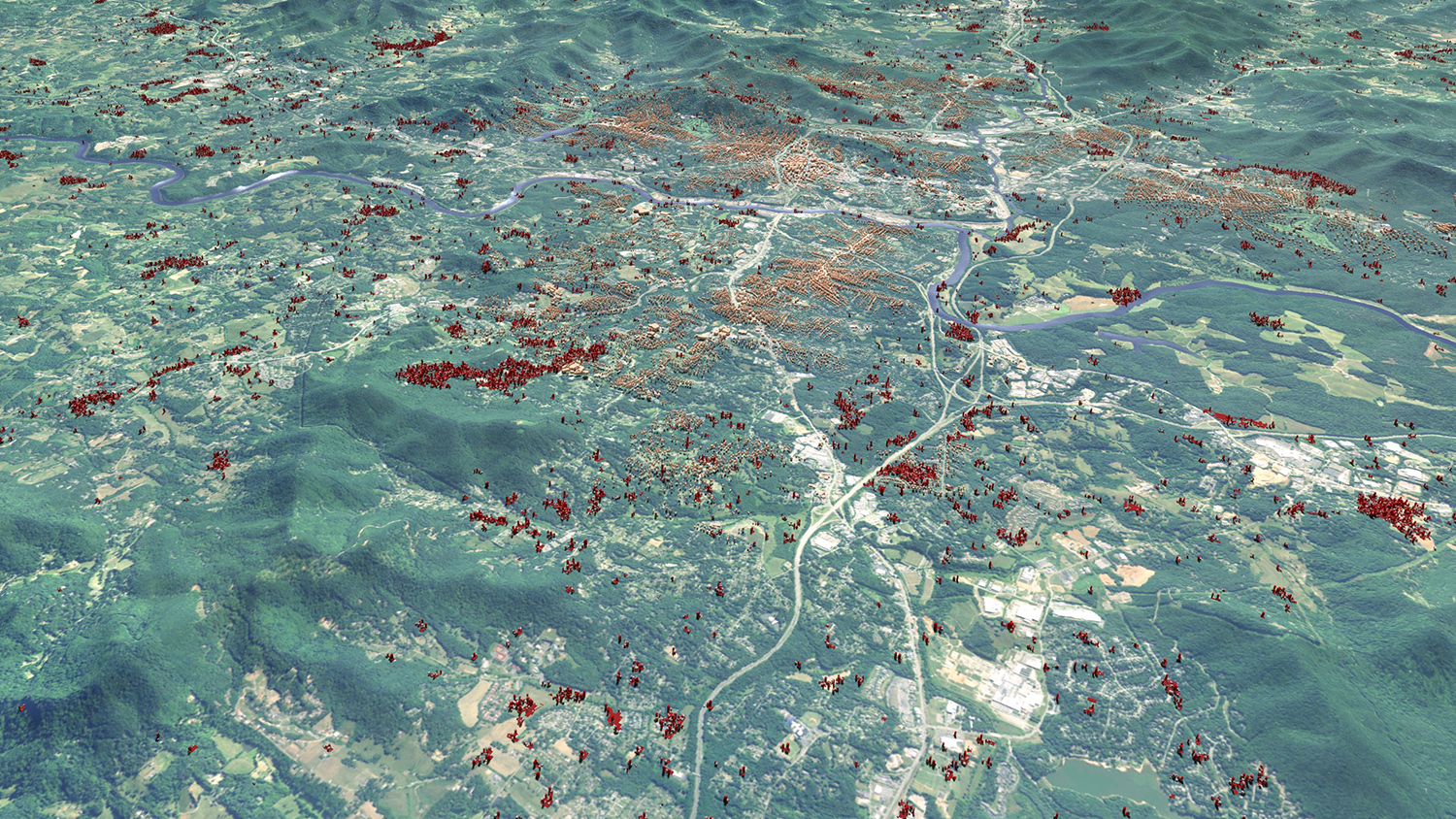
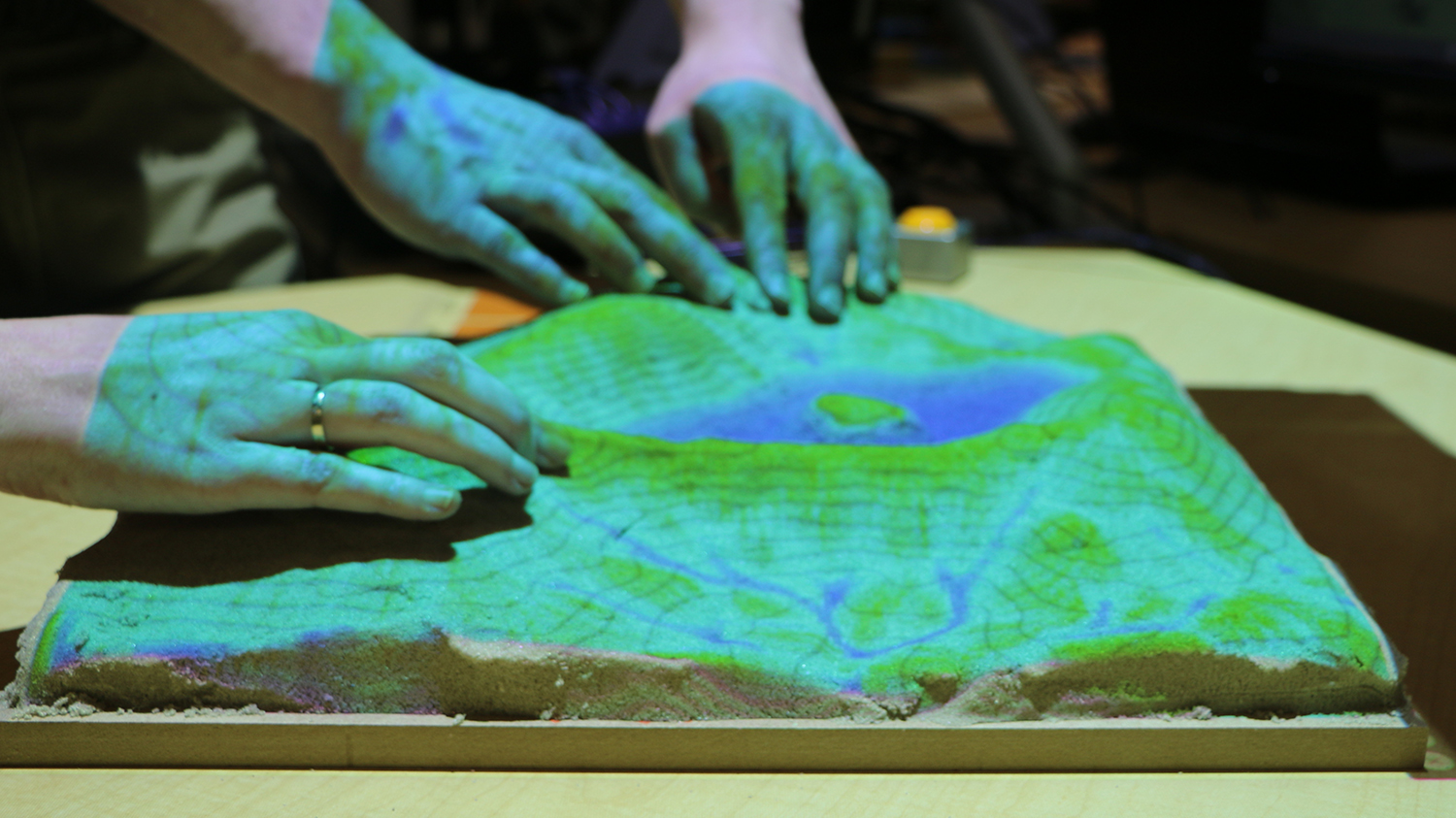
The new version of GRASS GIS, an open source geospatial computation and modeling engine, features integration with Jupyter Notebooks, a smoother user experience and parallel processing tools.

PoPS - Center for Geospatial Analytics at NC State University

Jun 8, 2022

Pest or Pathogen Spread (PoPS) Model 2.0.0 Released

Developers at the Center for Geospatial Analytics have released the newest official version of the Center's signature open source system for forecasting the spread of insect pests and disease and for testing control strategies: PoPS 2.0.

Infographic of Border Simulation - New PoPS Border Simulation Support Front Lines of Pest Detection - Center for Geospatial Analytics at NC State University

Aug 23, 2021

New PoPS Border Simulation Supports Front Lines of Pest Detection

Software developers at the Center for Geospatial Analytics have released the first version of a pest or pathogen spread (PoPS) simulation that can quantify the effectiveness of inspections at ports of entry and reveal how many pests are missed.

shaded_all_bright_ortho - Center for Geospatial Analytics at NC State University

Oct 29, 2020

First Official Version of PoPS (Pest or Pathogen Spread) Model Released

Developers at the Center for Geospatial Analytics have announced the first stable release of the Pest or Pathogen Spread model (PoPS 1.0), the Center’s signature open source system for forecasting the spread of insect pests and disease and for testing control strategies.

3D render of a landscape

Jan 14, 2020

Urban Growth Model FUTURES 2.0.0 Released

Developers at the Center for Geospatial Analytics have released the newest official version of the center’s signature open source software for modeling urban growth: FUTURES 2.0.0.

Tangible Landscape

Oct 29, 2019

First Official Stable Version of Tangible Landscape Software Released

Developers at the Center for Geospatial Analytics have announced the first stable release of Tangible Landscape, the center’s signature open source system for hands-on geospatial modeling: Tangible Landscape 1.0.0.