UAS
![NC State University doctoral researcher Will Reckling prepares to launch a drone on Roan Mountain, NC, to map the area for endangered high-elevation plants - Keeping Track of Rare Mountaintop Plants with Drones - Center for Geospatial Analytics at NC State University](https://cnr.ncsu.edu/geospatial/wp-content/uploads/sites/22/2021/11/6-1500x844-1.jpg)
Keeping Track of Rare Mountaintop Plants with Drones
![Researchers test drones to detect resistant ash trees.](https://cnr.ncsu.edu/geospatial/wp-content/uploads/sites/22/2020/09/emerald-ash-borer-main-image-crop.jpg)
Scientists Pilot Drones in Effort to Save Trees From Invasive Beetle
![Will Reckling pilots a drone custom-equipped to sample water](https://cnr.ncsu.edu/geospatial/wp-content/uploads/sites/22/2020/08/20200707_Loven_Haley_Plaas-508-HDR-1500x844-1.jpg)
Taking Research with Drones to New Heights
![Christmas tree farm in North Carolina](https://cnr.ncsu.edu/geospatial/wp-content/uploads/sites/22/2019/12/NC.CherokeeCounty5051-1500x844-1.jpg)
UAVs and Christmas Trees: New Research to Help NC Growers Benefit From Drone Technology
![View of an agriculture field from an overhead drone](https://cnr.ncsu.edu/geospatial/wp-content/uploads/sites/22/2019/02/DJI_0799-1500x844.jpg)
Student Travel: Delving into Precision Agriculture at AGU
![A photo of a woman using a drone for the Center for Geospatial Analytics](https://cnr.ncsu.edu/geospatial/wp-content/uploads/sites/22/2018/07/Kellyn-1500x844.jpg)
Taking Flight with Drone Research
![students in UAS graduate course](https://cnr.ncsu.edu/geospatial/wp-content/uploads/sites/22/2018/02/P1040618-1500x844.jpg)
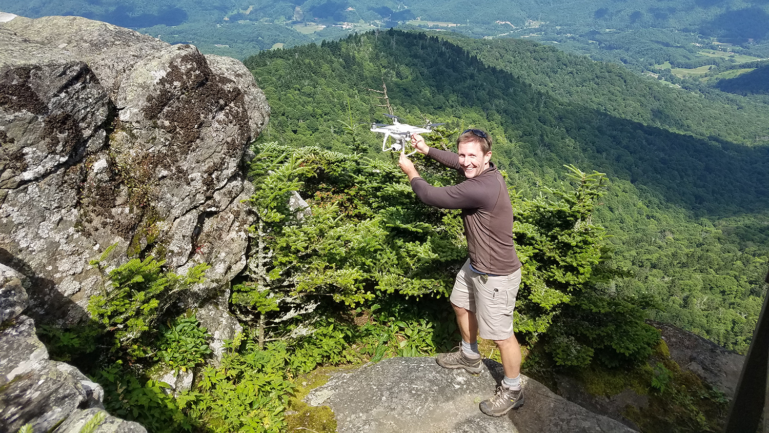
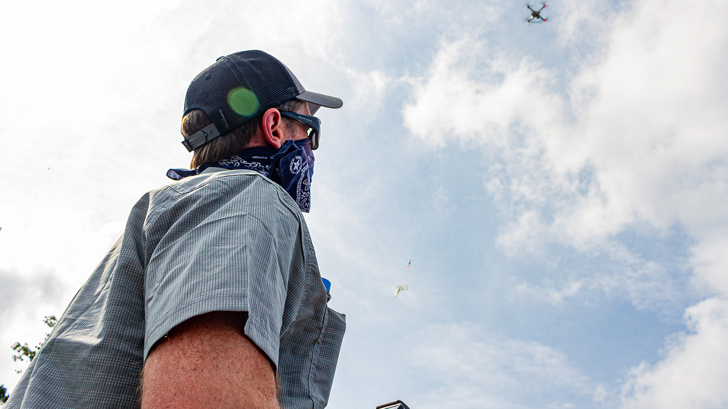
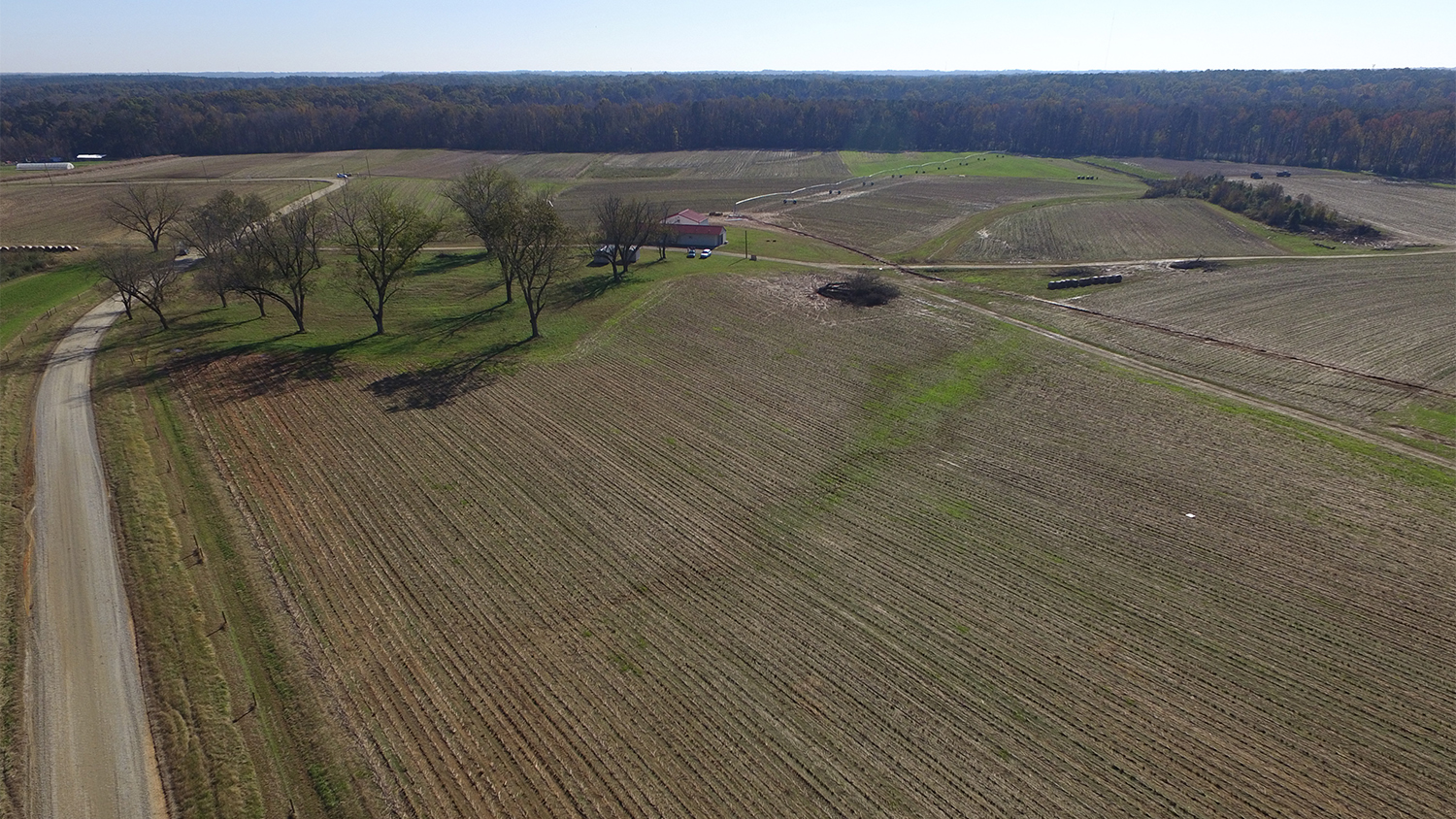
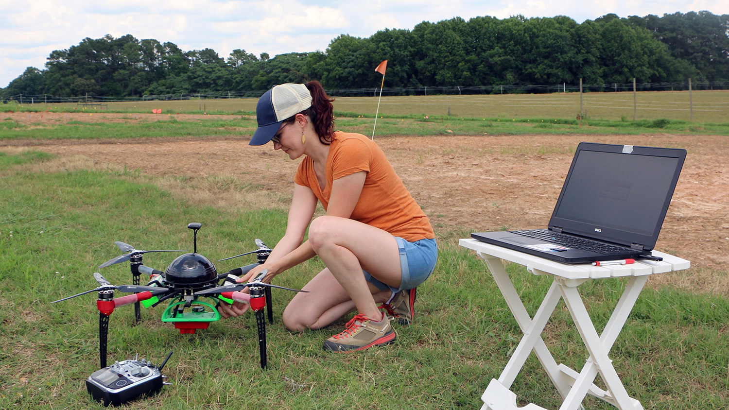
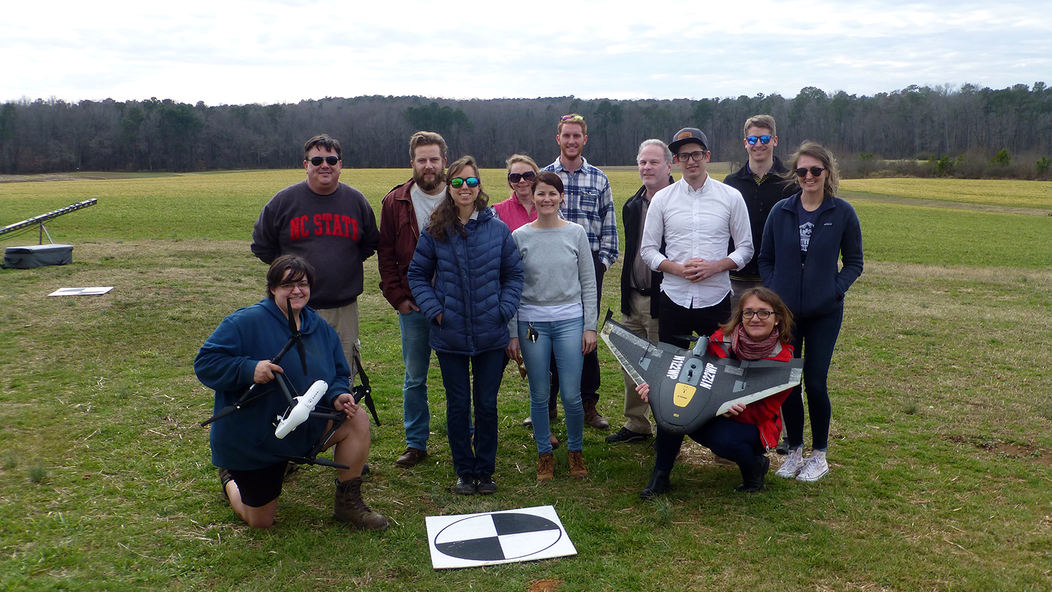
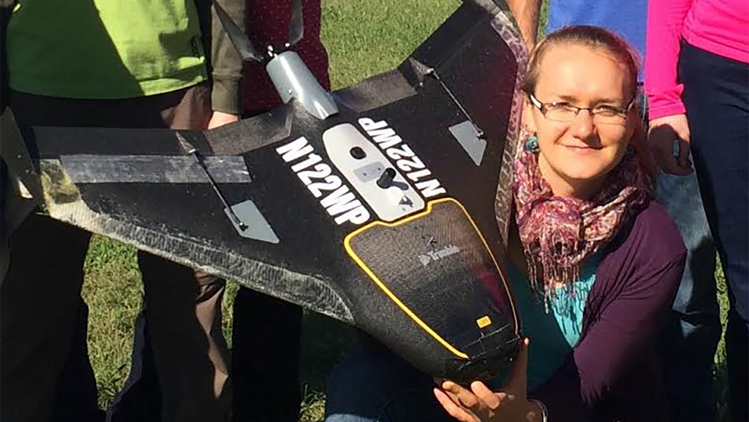
For Drone Research and Training at NC State, the Sky’s the Limit
![Justyna with drone](https://cnr.ncsu.edu/geospatial/wp-content/uploads/sites/22/2017/11/image-copy-resized.png)