center for geospatial analytics
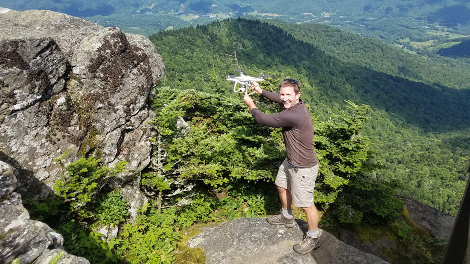
Keeping Track of Rare Mountaintop Plants with Drones
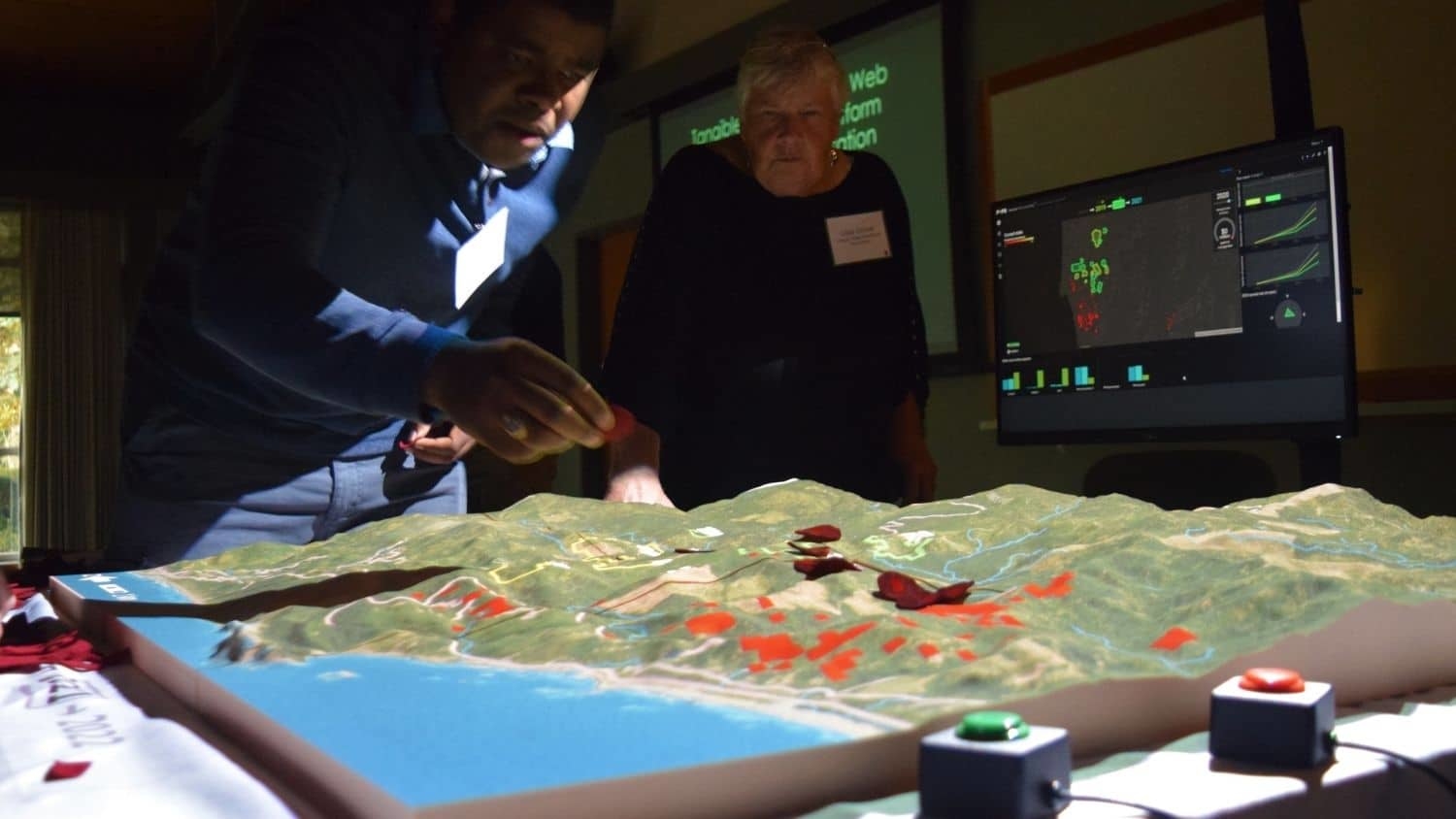
Researchers Design Simulation Tool to Predict Disease, Pest Spread

Where There’s Smoke: Reducing Downwind Impacts of Prescribed Burns

Brit Laginhas Wins 2021 ESA George Mercer Award
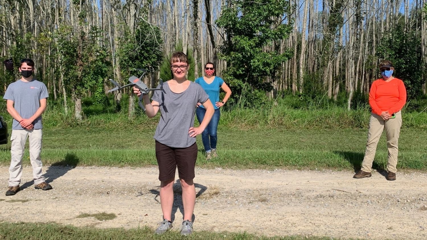
New IARPA-Funded Research Will Improve Accuracy and Efficiency of Analyzing Geospatial Imagery Across Large Scales
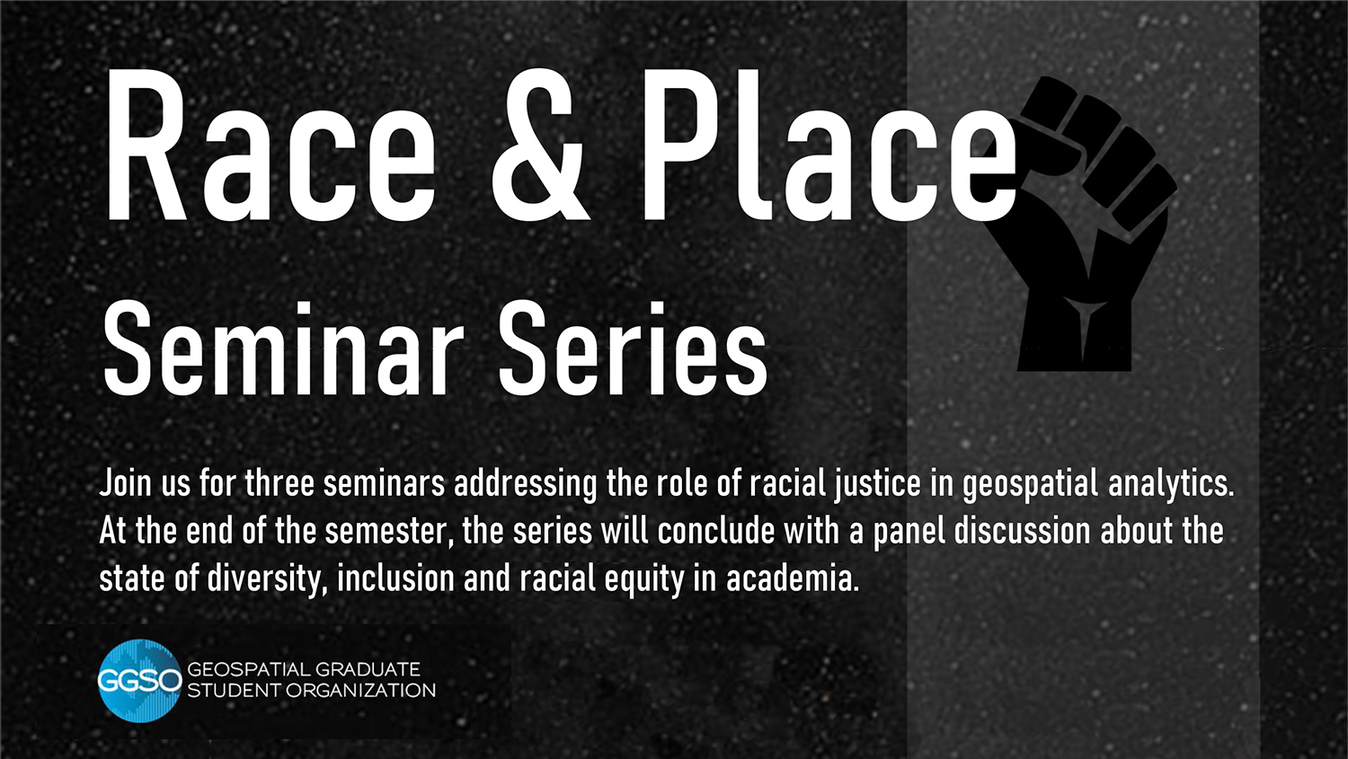
Race and Place Seminar Series to Explore Role of Racial Justice in Geospatial Analytics

Why the College of Natural Resources is Chosen for Continuing Education
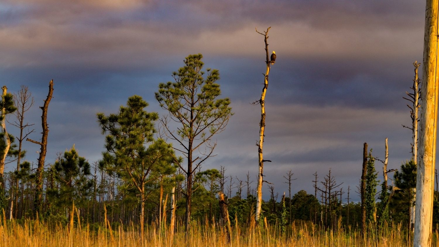
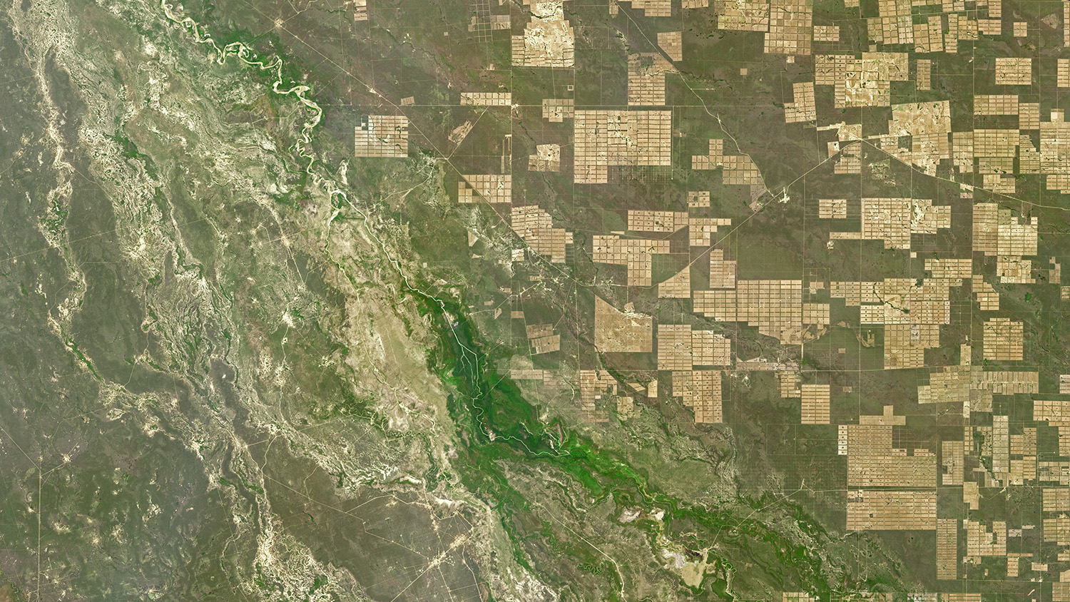
North Carolina’s Ghost Forests May Contribute to Climate Change
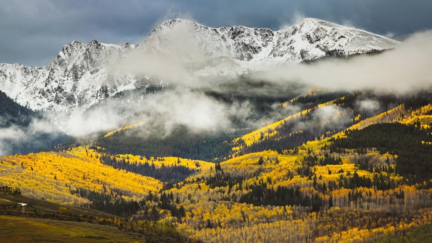
Colorado’s Famous Aspens Expected to Decline Due to Climate Change