center for geospatial analytics
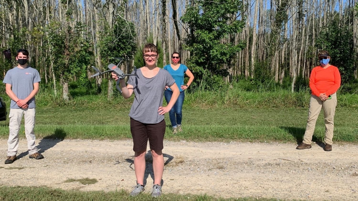
Scientists Pilot Drones in Effort to Save Trees From Invasive Beetle
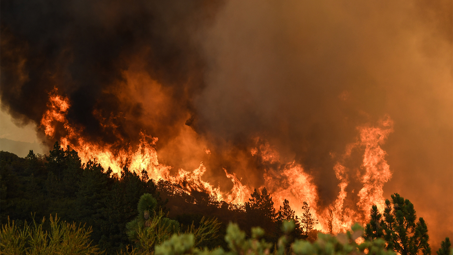
Wildfire Smoke Causes Unhealthy Air Quality Across the West
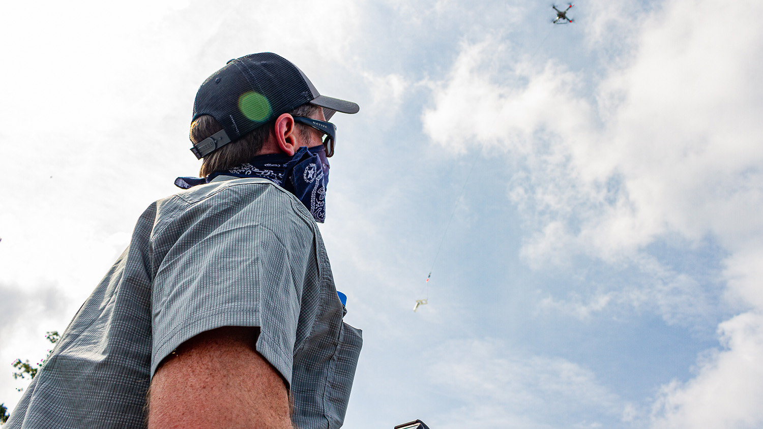
Taking Research with Drones to New Heights
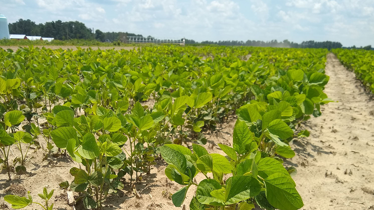
Using Leaf Fungi to Improve Crop Resilience
College of Natural Resources Recognizes Outstanding Faculty and Staff

Remote Sensing and the Science of Sound
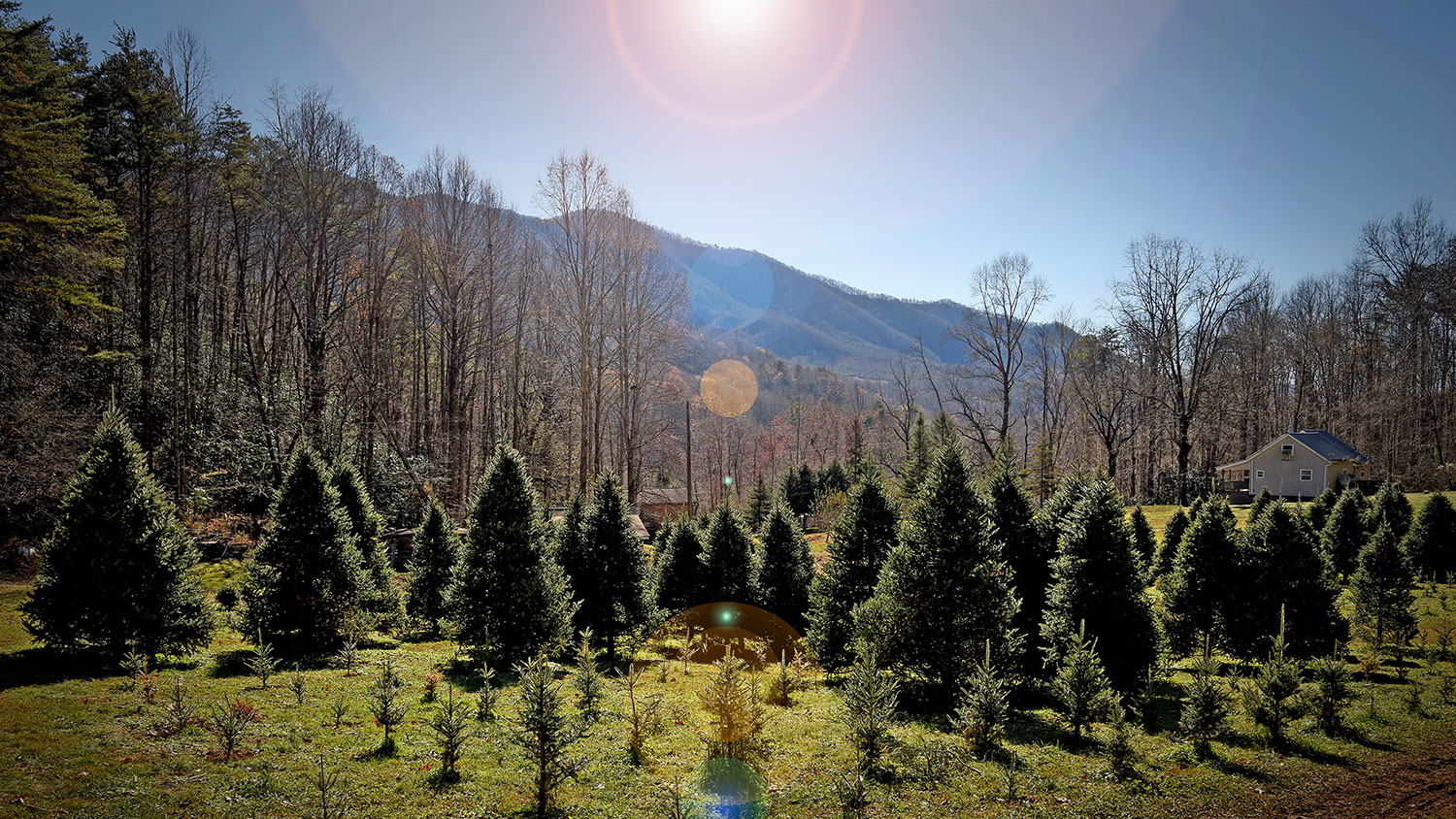
UAVs and Christmas Trees: New Research to Help NC Growers Benefit From Drone Technology
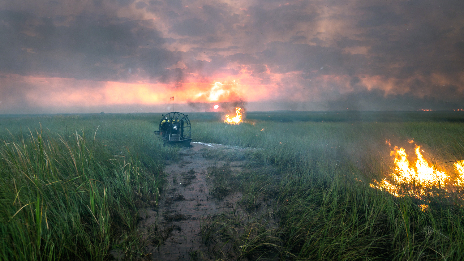
Custom Geospatial Tool Helps National Park Service Better Predict Fire Risk on Florida’s River of Grass
In the Battle Against a Spreading Forest Disease, Strategy Matters