Megan Skrip

Nov 16, 2023

What Is Open Science? An Intro, Common Misconceptions and Advice
Learn from one of the Center for Geospatial Analytics’ experts about the six components of open science, the importance of open licenses, how a scientist might think a research product is open when it’s not, and the need to budget for open science.

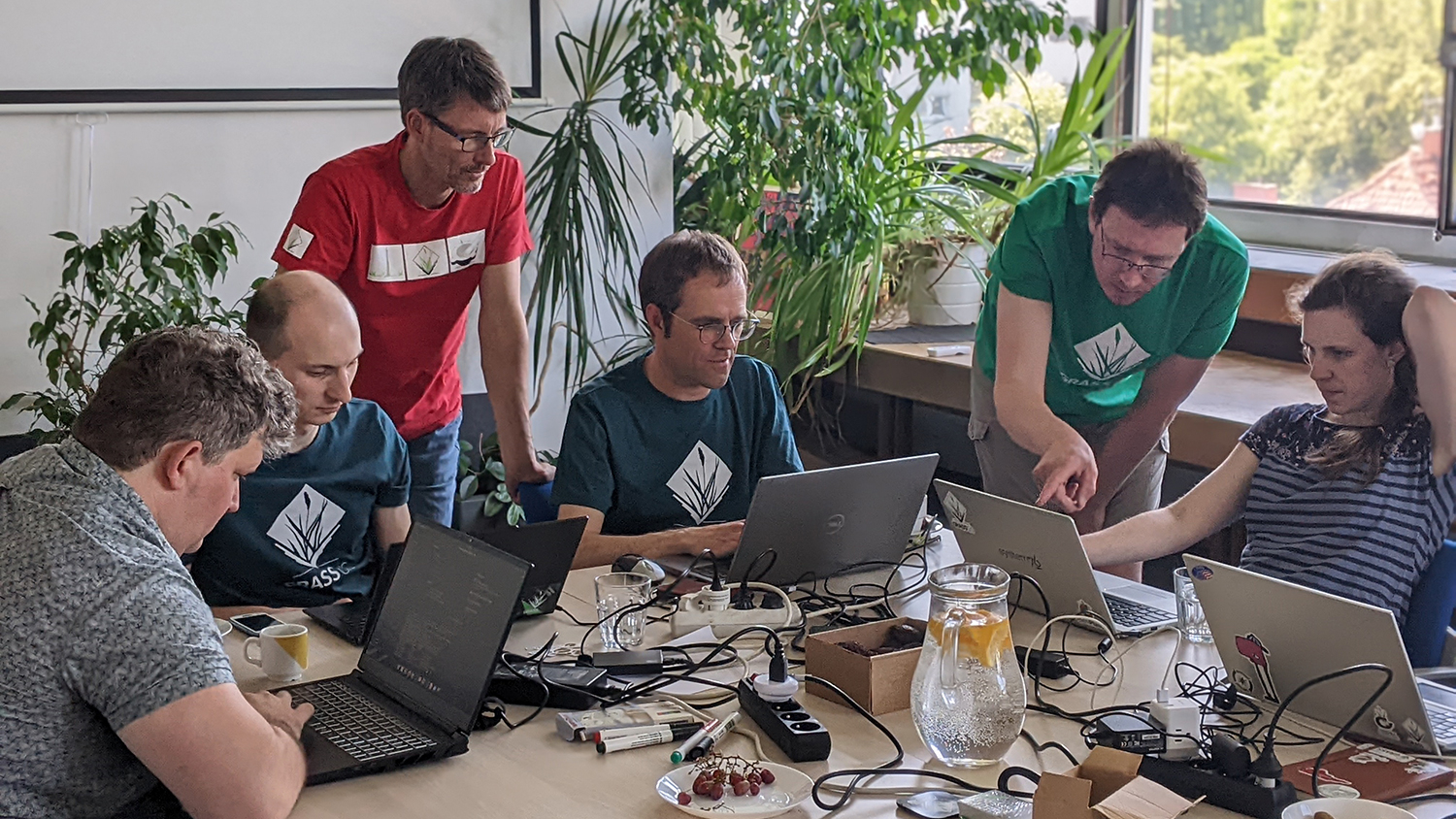
Students sit at computers - New NSF-Funded Research Will Expand Access to GRASS GIS - College of Natural Resources at NC State University
Oct 3, 2023

New NSF-Funded Research Will Expand Access to GRASS GIS

A new $1.5 million research project led by NC State University will support and expand the community of GRASS GIS, an open-source geospatial processing platform.

Aerial view of trees beside a river - Undergrad Positions Available in Species Mapping - College of Natural Resources at NC State University

Jun 27, 2023

Undergrad Positions Available in Species Mapping

The Center for Geospatial Analytics’ Biological Invasions group is recruiting undergraduate research assistants with experience in programming and GIS.

View of Earth from space - Undregrad Position Available in Science Visualization and Illustration - College of Natural Resources at NC State University
Jun 27, 2023

Undergrad Position Available in Science Visualization and Illustration

Announcing an exciting opportunity for undergraduate graphic designers, architecture or art students: Join the Landscape Dynamics Group at the Center for Geospatial Analytics!

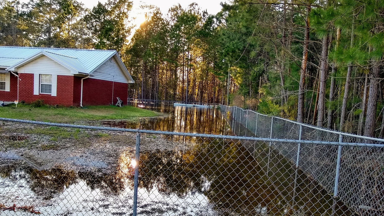
a red brick house is surrounded by flooding and a chainlink fence - Finding Floods from Space to Support Community Action - College of Natural Resources NC State University

Jun 9, 2023

Finding Floods from Space to Support Community Action

Through AGU’s Thriving Earth Exchange, faculty fellow Mirela Tulbure and doctoral students Mollie Gaines and Varun Tiwari have been working with a community science project in Georgia to validate the lived experiences of residents dealing with frequent flooding.

Sunrise over the bell tower - Industry Partnership to Assess Climate Change Risks - College of Natural Resources NC State University
May 1, 2023

Industry Partnership to Assess Climate Change Risks

Consulting and engineering firm Tetra Tech, Inc. has selected NC State University’s Center for Geospatial Analytics to support a five-year, $100 million EPA contract to assess human health and ecological risks associated with global climate change.

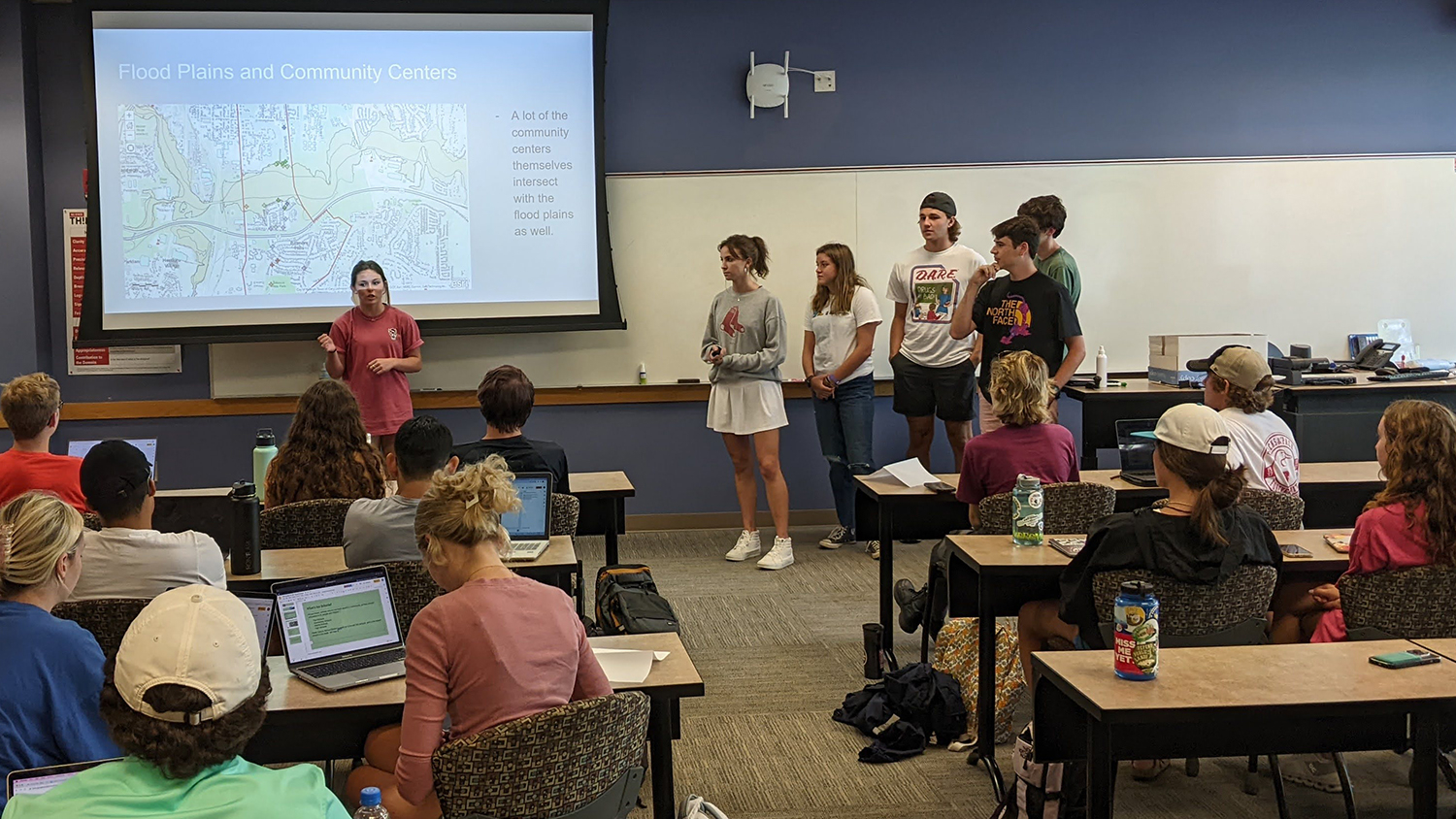
Students present to class - College of Natural Resources at NC State University

Feb 1, 2023

First-Year Students Learn the Value of GIS for Environmental Justice
Each year, more than 150 incoming NC State freshmen in the Environmental First Year Program learn how geospatial tools can help reveal and address environmental inequities produced by systemic racism.

Two men talk in front of a video camera - New Multimedia Story Map Shares Experience of Veterans in Fire Management - College of Natural Resources NC State University

Nov 30, 2022

New Multimedia Story Map Shares Experiences of Veterans in Fire Management
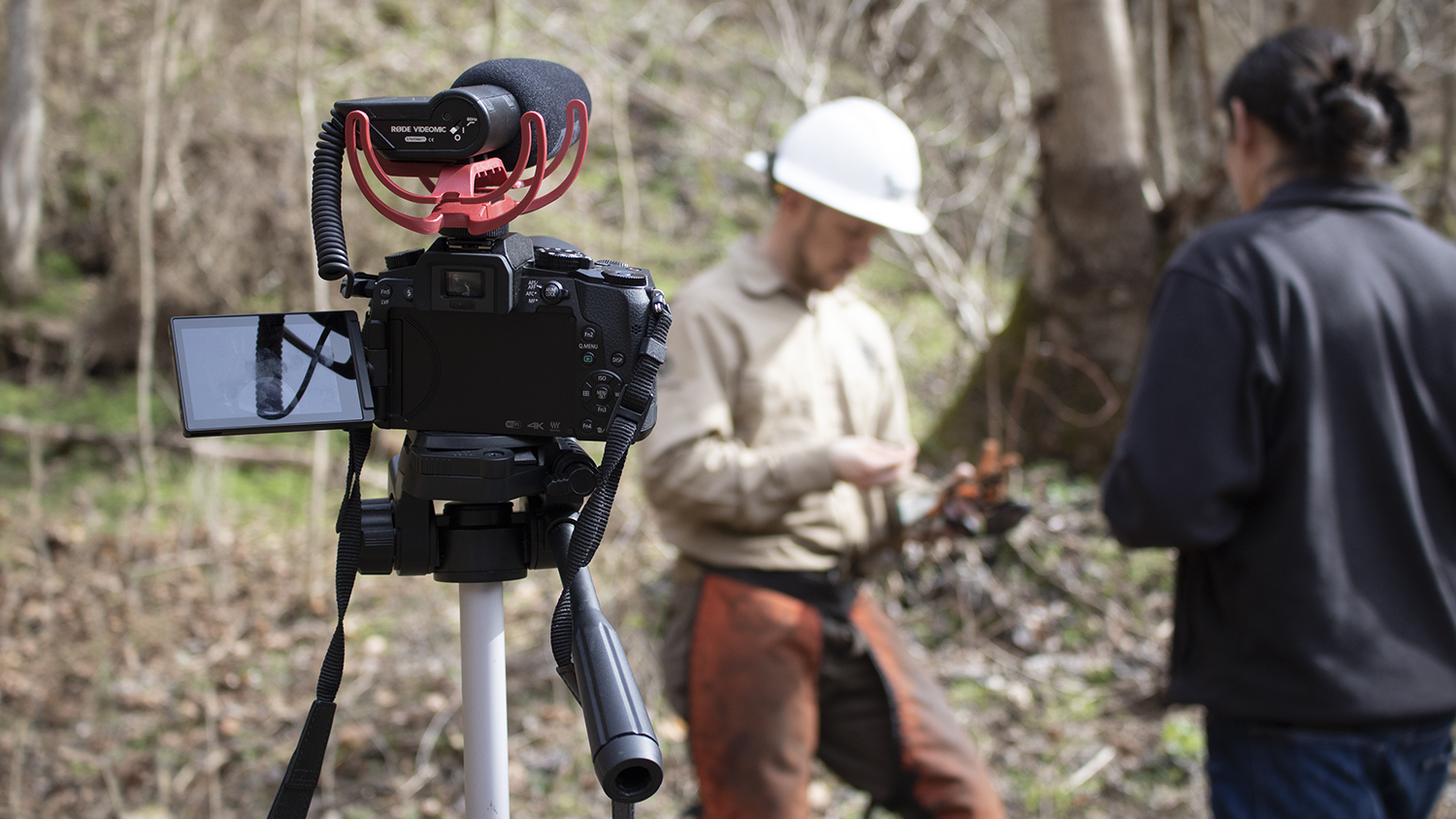
A new interactive story map produced by researchers at North Carolina State University’s Center for Geospatial Analytics highlights the experience of five Army and Marine Corps veterans who worked as part of the Veterans Fire Corps to protect landmarks with the National Park Service.

an orange shovel scoops snow - New Visualization Tool Helps Weather Forecasters and Researchers More Easily Identify and Study Bands of Heavy Snow - College of Natural Resources NC State University

Nov 15, 2022

New Visualization Tool Helps Weather Forecasters and Researchers More Easily Identify and Study Bands of Heavy Snow

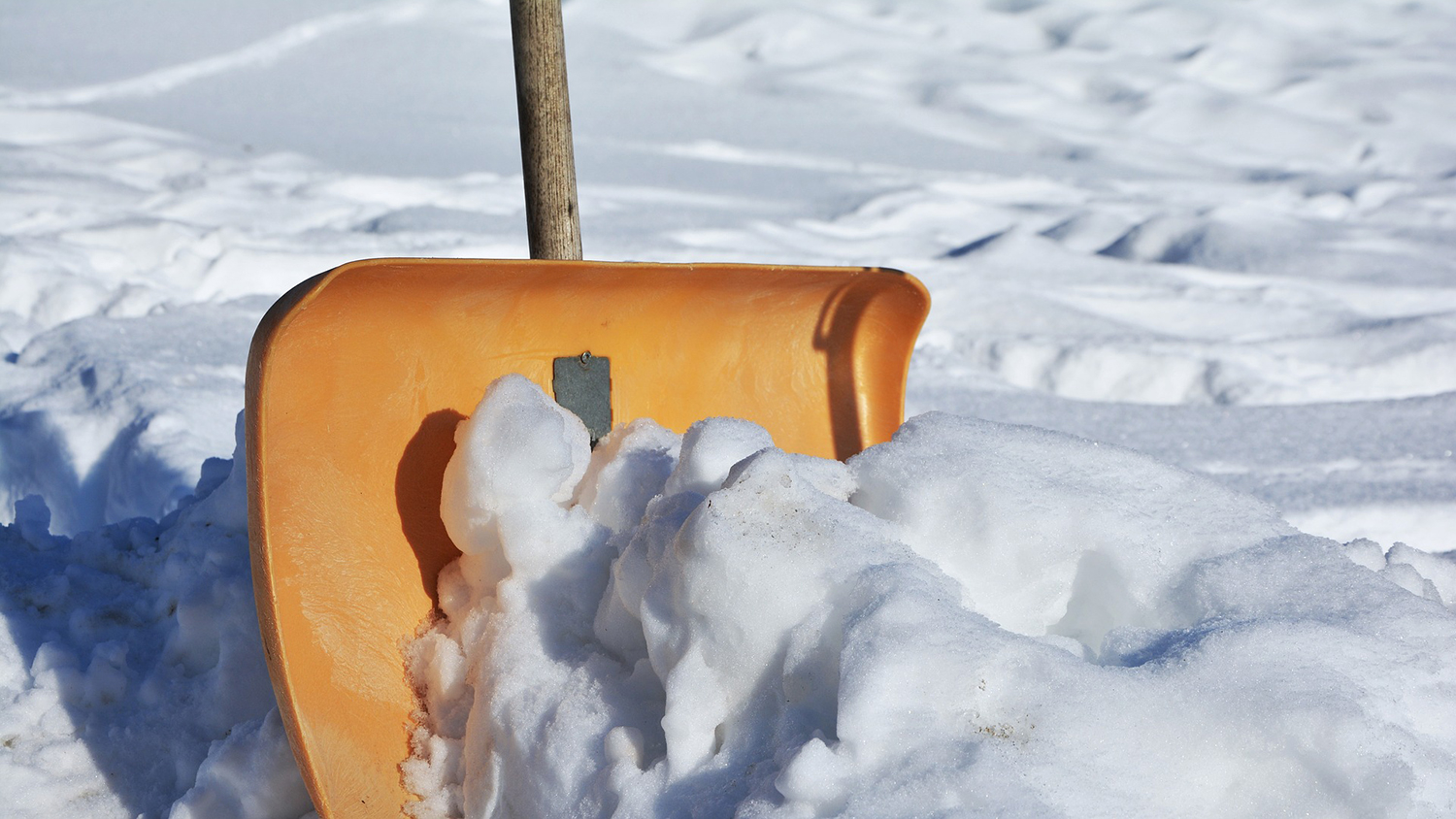
Geospatial Analytics Ph.D. candidate Laura Tomkins developed a new way for meteorologists and atmospheric scientists to quickly and easily distinguish heavy snow from mixed precipitation in weather radar imagery, to improve understanding of snowfall during winter storms.

Jun 13, 2022

Study: People Are Most Physically Active When Their Environments are Both Highly Walkable and Very Green

New research used wearable sensors and satellite data to identify how a person’s environment affects their level of daily exercise.