Second Edition of Tangible Modeling Book Released
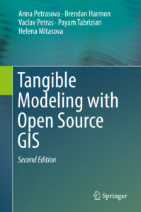
The GeoForAll Lab at the Center for Geospatial Analytics recently published the second edition of their popular book Tangible Modeling with Open Source GIS, available from Springer. The new edition reviews the latest developments in the fast-growing field of tangible user interfaces, introduces more powerful ways of using and interacting with the Tangible Landscape system and includes a new chapter on coupling tangible interaction with 3-D rendering.
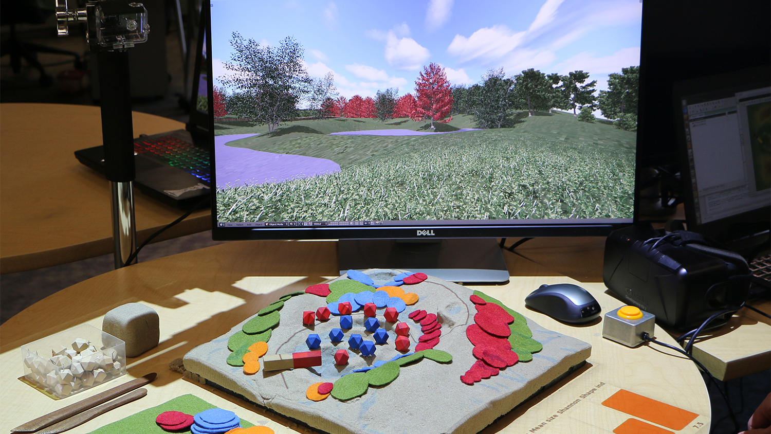
The pioneering first edition, published in 2015, introduced tangible modeling and taught readers how to construct their own Tangible Landscape system for running geospatial simulations using GRASS GIS and physical models of landscapes. Readers of the new edition will also learn how to use the open source software Blender to generate realistic 3-D imagery of landscapes modeled with Tangible Landscape and to display that imagery on a computer screen or in a virtual reality headset. These new techniques expand the system’s already many applications in geoscience education, landscape design, planning, stakeholder engagement and more.
Tangible Modeling with Open Source GIS, Second Edition is co-authored by Geospatial Analytics doctoral students Anna Petrasova, Vaclav Petras and Payam Tabrizian; center alum Brendan Harmon (now assistant professor of landscape architecture at Louisiana State University); and center associate director of geovisualization Helena Mitasova (Department of Marine, Earth and Atmospheric Sciences).