Megan Skrip
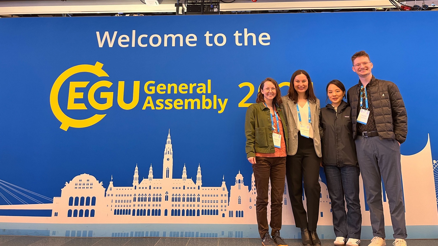
Exploring the End of the Growing Season in Drylands at EGU 2024
Celebrating Faculty and Staff Achievements 2023–2024
Celebrating Student Achievements 2023–2024
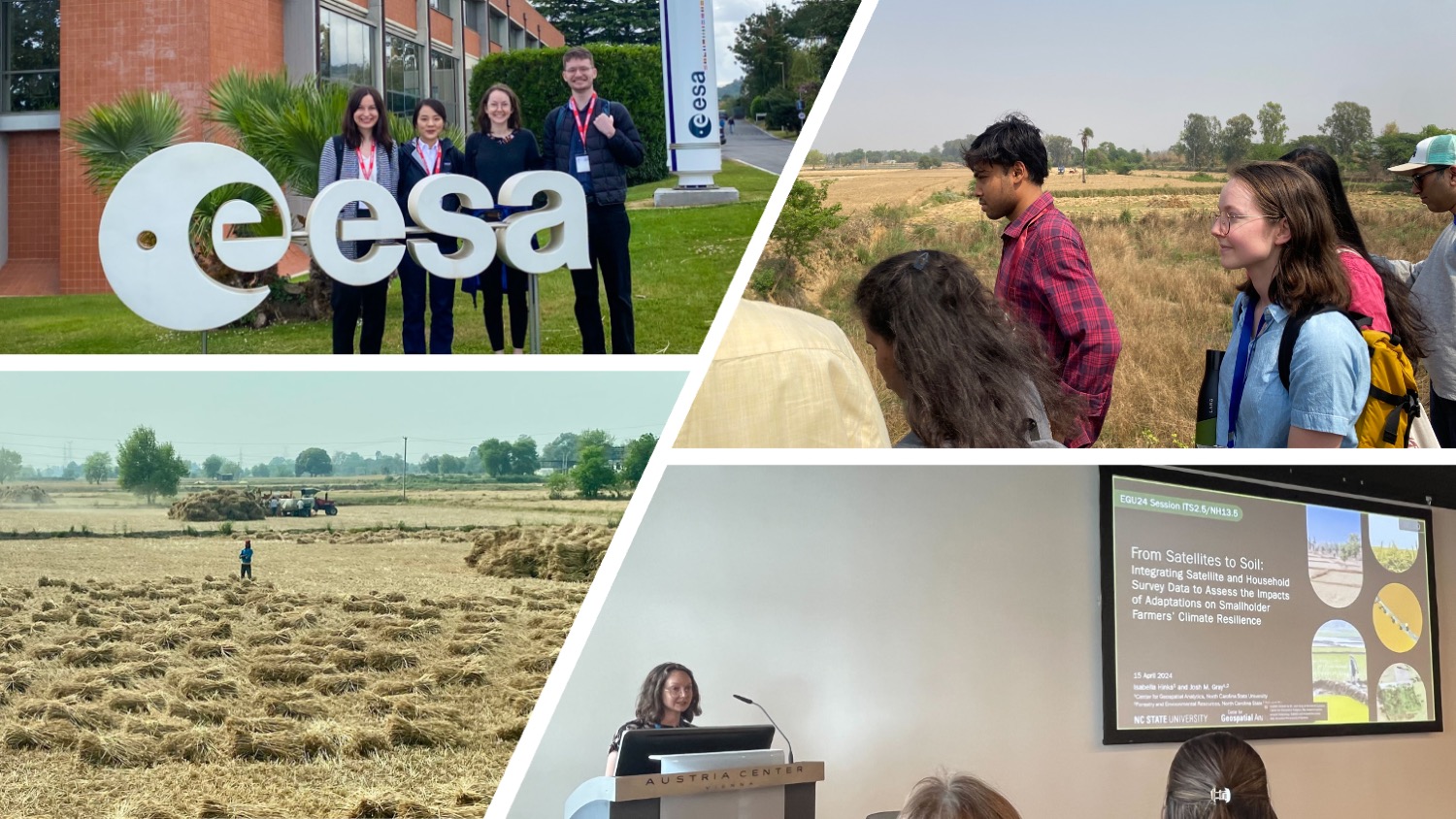
From Satellites to Soil: Experiencing Scientist-Community Partnerships First-Hand
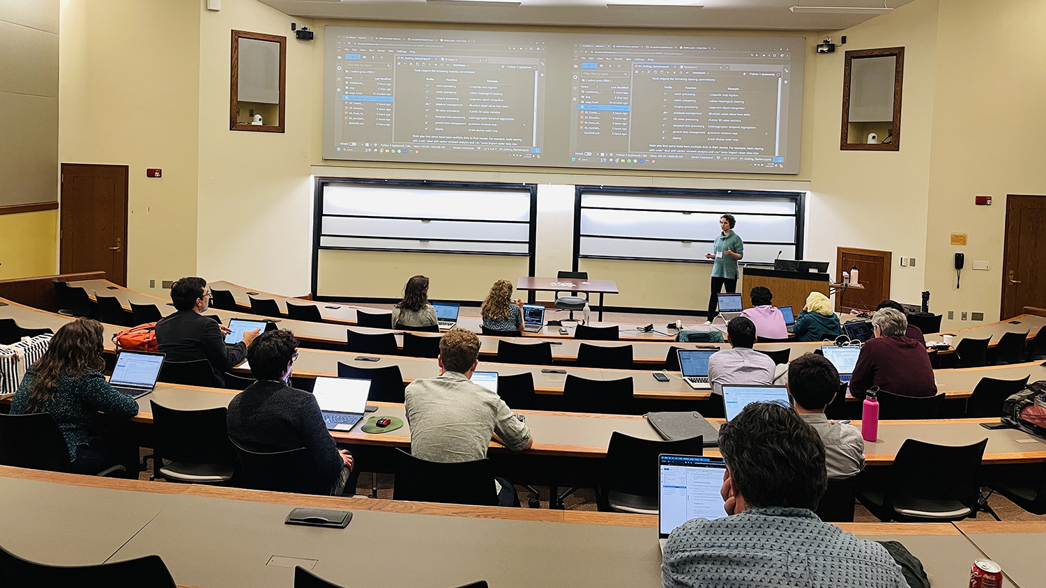
Center Ph.D. Students Teach GRASS GIS for Coastal Hazard Analysis at International Conference
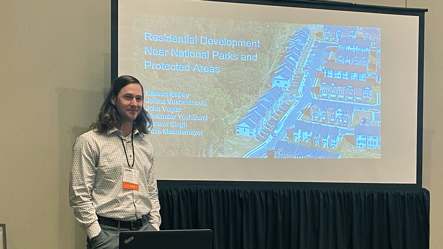
Reflecting on IALE and Presenting What’s Driving Residential Development Near Protected Areas
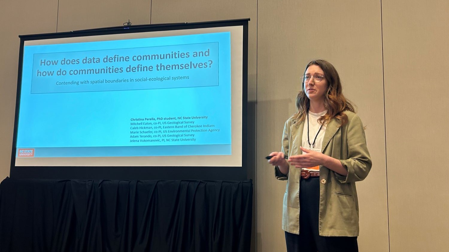
Exploring Principles of Open Data and Data Sovereignty in Landscape Ecology
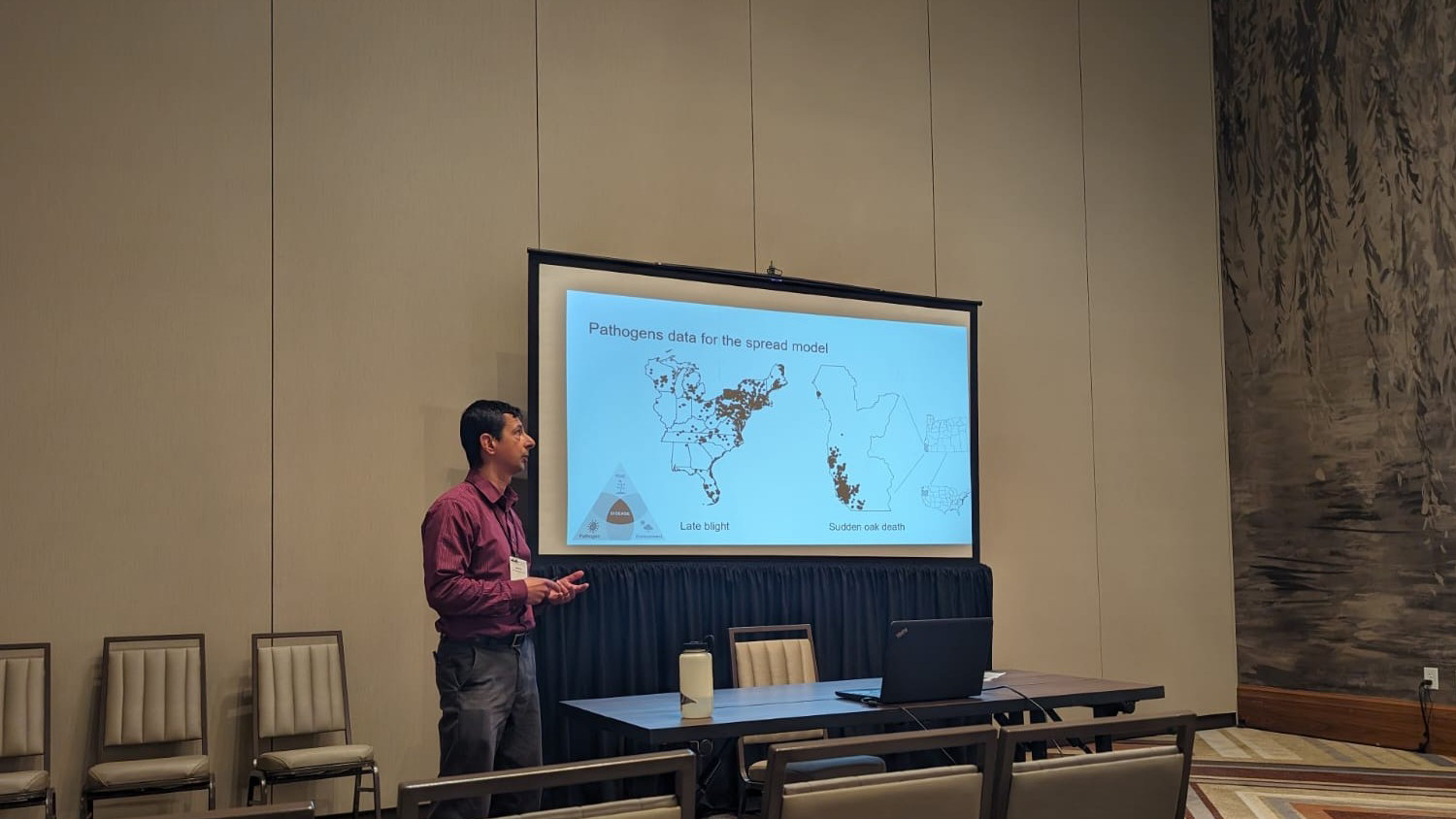
Components to Consider in Choosing Plant Disease Forecast Models, a Presentation at IALE
Pack Reflections: Laura Tomkins ’24