
September 2020

a grower collects data in an agricultural field

Sep 28, 2020

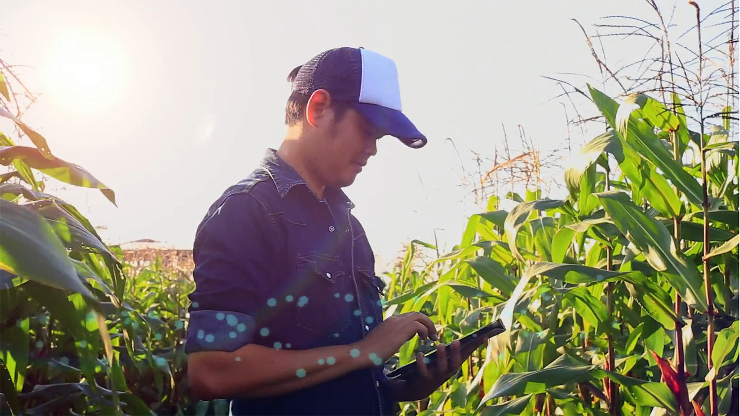
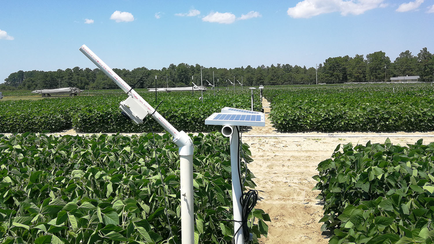
Protecting Our Future Food Supply with AI and Geospatial Analytics

In partnership with Lenovo, Associate Director of Spatial Computing and Technology Raju Vatsavai is applying artificial intelligence (AI) and deep-learning algorithms to the problem of global crop monitoring with the hopes of “optimizing the needs of future populations.”

Ghost forest on N.C. coast.

Sep 28, 2020

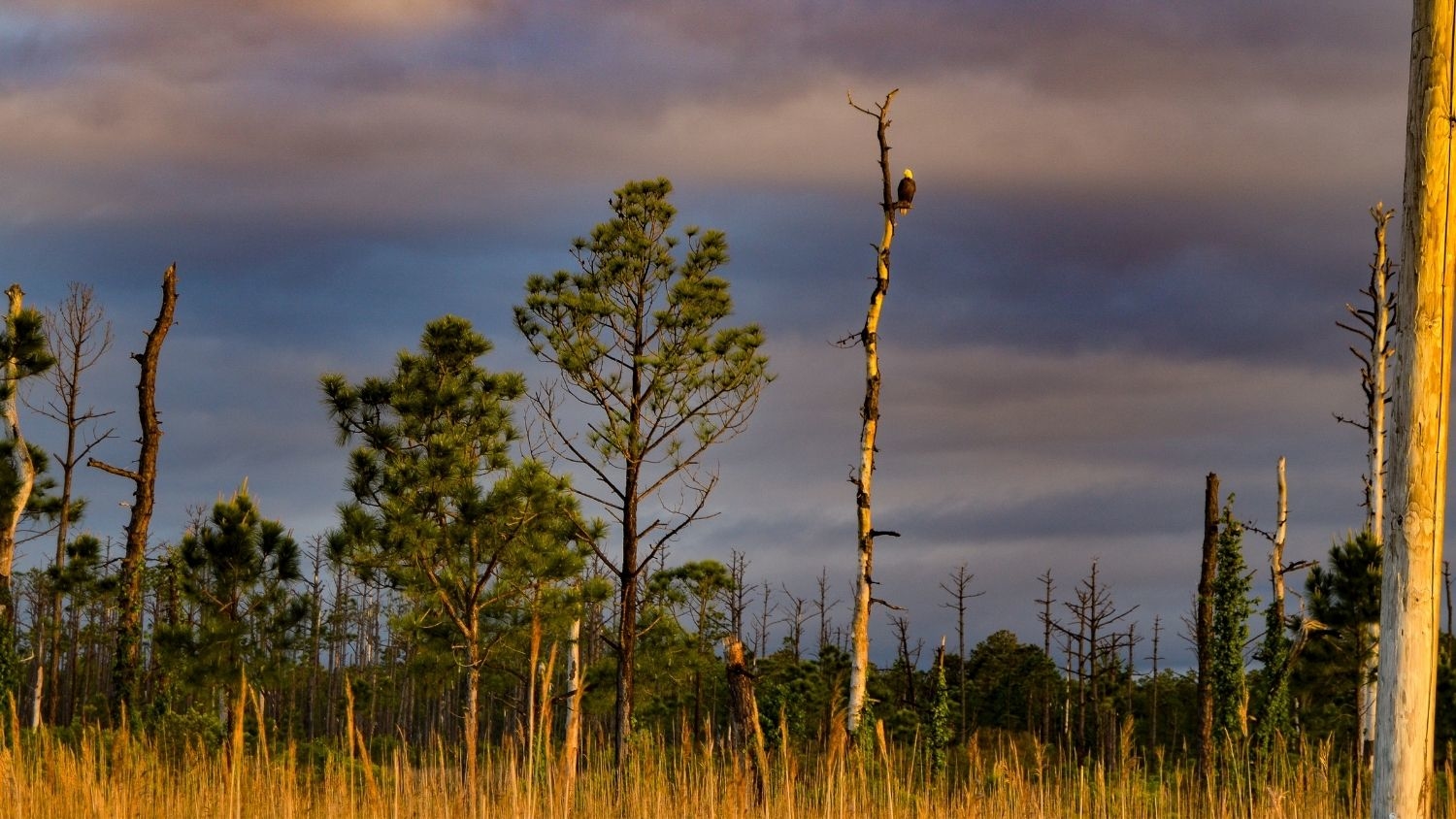
Study Finds Spreading Ghost Forests on NC Coast May Contribute to Climate Change

A newly published study led by Research Associate Lindsey Smart reveals implications of the interplay between sea level rise, saltwater intrusion, ghost forests, and new tree plantings for the coastal carbon budget.

Researchers test drones to detect resistant ash trees.

Sep 17, 2020

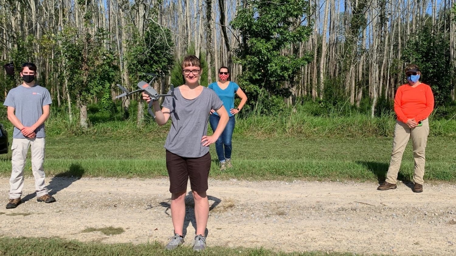
Scientists Pilot Drones in Effort to Save Trees From Invasive Beetle

NC State researchers are using drones to try to find ash trees with natural resistance to the emerald ash borer invasive pest, and Center research associate Justyna Jeziorska is is leading the drone reconnaissance effort.

Aspen trees in the Colorado mountains.

Sep 16, 2020

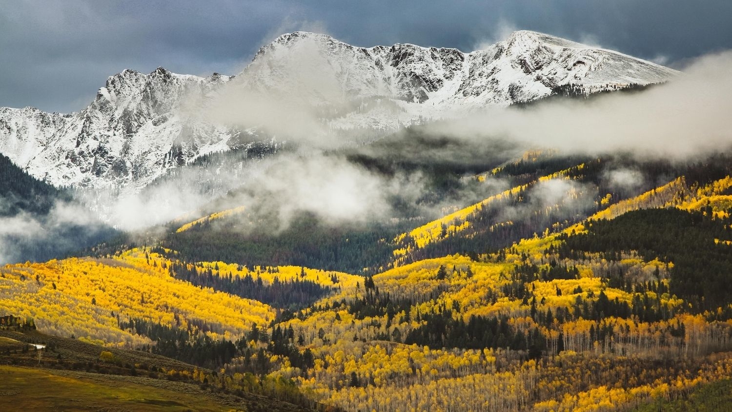
Colorado’s Famous Aspens Expected to Decline Due to Climate Change

Recent research by Geospatial Analytics Ph.D. student Nikki Inglis and Faculty Fellow Jelena Vukomanovic predicts quaking aspen trees, known for their brilliant foliage in fall, will visibly decline along three scenic drives in Colorado.

A small white box on PVC pipe poles over plots of soybeans in sandy soil.

Sep 9, 2020

Faculty Focus: Nelson to Help USDA Guide Agricultural Innovation

Faculty Fellow Natalie Nelson was selected by the US Department of Agriculture to serve as one of 11 subject matter experts for the USDA’s Agriculture Innovation Agenda. Her expertise in machine learning and data science will inform proactive strategies to prevent crop loss.

collage of students on Zoom

Sep 7, 2020

“I Use Geospatial Analytics To…” Part III

Curious about what our newest Geospatial Analytics Ph.D. students work on for their dissertations? Check out how they and their advisors use geospatial analytics to impact a range of fields.

A researchers studying how drones can detect poachers and count wildlife in Namibia is juxtaposed against the Milky Way at night.

Sep 2, 2020

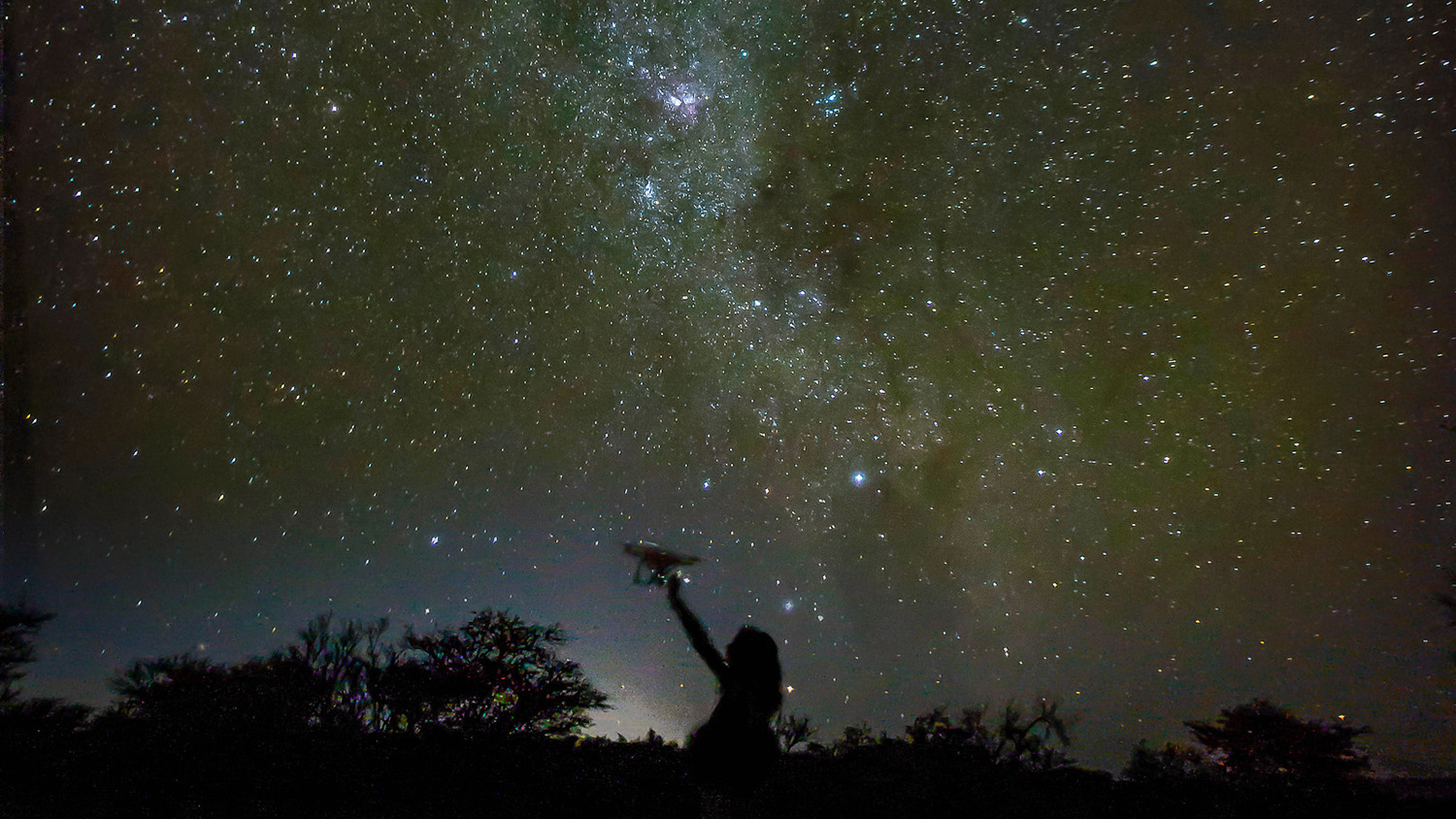
Envisioning Research Contest Winners Show Artistic Exploration

Three members of our Center community were winners in the 2020 Envisioning Research Contest, illuminating discoveries through graphics and video.

Josh Gray

Sep 1, 2020

Faculty Profile: Josh Gray

Faculty Fellow Josh Gray advises or co-advises four students in the Center's Geospatial Analytics Ph.D. program and uses remote sensing to study how climate change will affect food and water security. Read more about his professional journey and his advice for undergraduate students.