Keeping Track of Rare Mountaintop Plants with Drones

When an endangered plant’s favorite place to live is the side of a mountain, keeping track of its numbers typically requires rappelling down cliff faces with specialized gear––no mean feat. Now, a drone-based approach developed by researchers from North Carolina State University is making rare plant monitoring on mountaintops safer and more efficient.
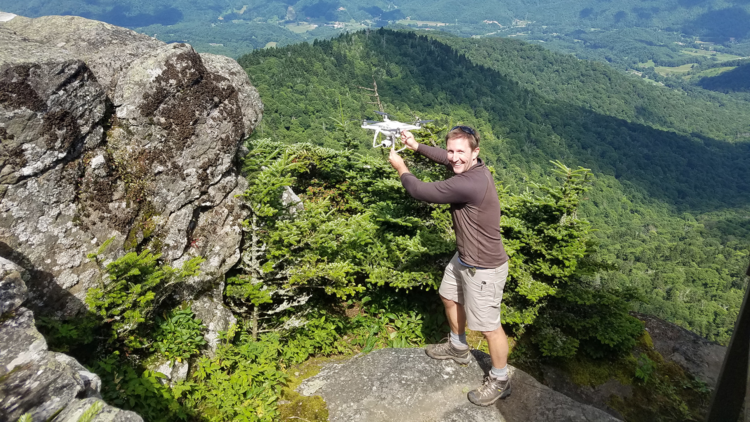
Working with collaborators from NC State’s Center for Geospatial Analytics, the US Forest Service and US Fish and Wildlife Service, doctoral researcher Will Reckling devised a method to both predict where rare mountain plants are likely to grow and then target high-probability areas for flying unmanned aerial systems (UAS, a.k.a. drones) and snapping photos with an onboard camera.
“To our knowledge, this is the first study that has used a species distribution model to create targeted UAS flight areas to map locations of rare and endangered plant species,” Reckling and his collaborators explain.
Creating the species distribution model allowed the team to optimize where to fly their drone to capture imagery with a resolution high enough to identify individual plants. Without this type of data-driven guidance, “planning UAS flight paths is somewhat subjective,” the researchers say, “and can result in inefficient usage of limited flight time or overcollection of data.”
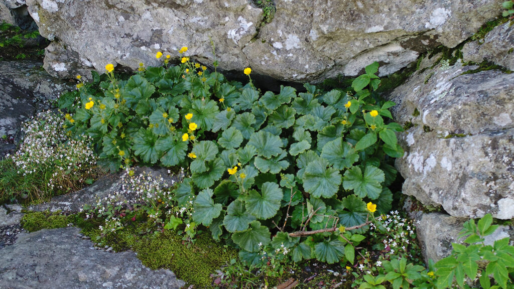
The team tested their technique in the Blue Ridge Mountains, where the federally endangered plant Geum radiatum, commonly known as spreading avens, is known to occur at only 15 sites. The plant favors rocky outcrops at elevations of 1400–1911 m (4,593–6,270 ft) and is one of 47 high-elevation species monitored by the North Carolina Natural Heritage Program.

After securing permission to fly a drone on Roan Mountain, one of North Carolina’s highest peaks, the team inspected the collected imagery to verify the known locations of G. radiatum; they also discovered four previously undocumented plants.
Finding these rare plants on the ground is notoriously difficult. “Populations may be undercounted because of inconsistent monitoring methods among personnel, and access to the plants often requires skilled rock climbers and equipment,” according to the researchers.
The advantages of using a drone, however, are many: Not only do UAS keep personnel out of harm’s way on high-elevation bluffs and keep monitoring protocols consistent, they also reduce the risk of disturbing sensitive plants during monitoring checks, and they can search a wider area in a shorter amount of time.
Pairing drone-based data collection with a predictive model to narrow the search window, though, is also key: “Targeted flight areas allow for faster data collection so that changing weather and lighting conditions do not affect the final imagery products,” the researchers say. “This technique reduces battery requirements and data storage needs as well as fight and processing time.”
A recent open-access publication in the journal Drones details the techniques used by Reckling and his team, including the species distribution model and flight planning software used. The study’s co-authors are Center for Geospatial Analytics Associate Director Helena Mitasova and Faculty Fellow Karl Wegmann (both faculty in the Department of Marine, Earth and Atmospheric Sciences at NC State), Gary Kauffman of the US Forest Service and Rebekah Reid of the US Fish and Wildlife Service.


