May 1, 2024
Bridging Silos and More with GIS and Experiential Learning
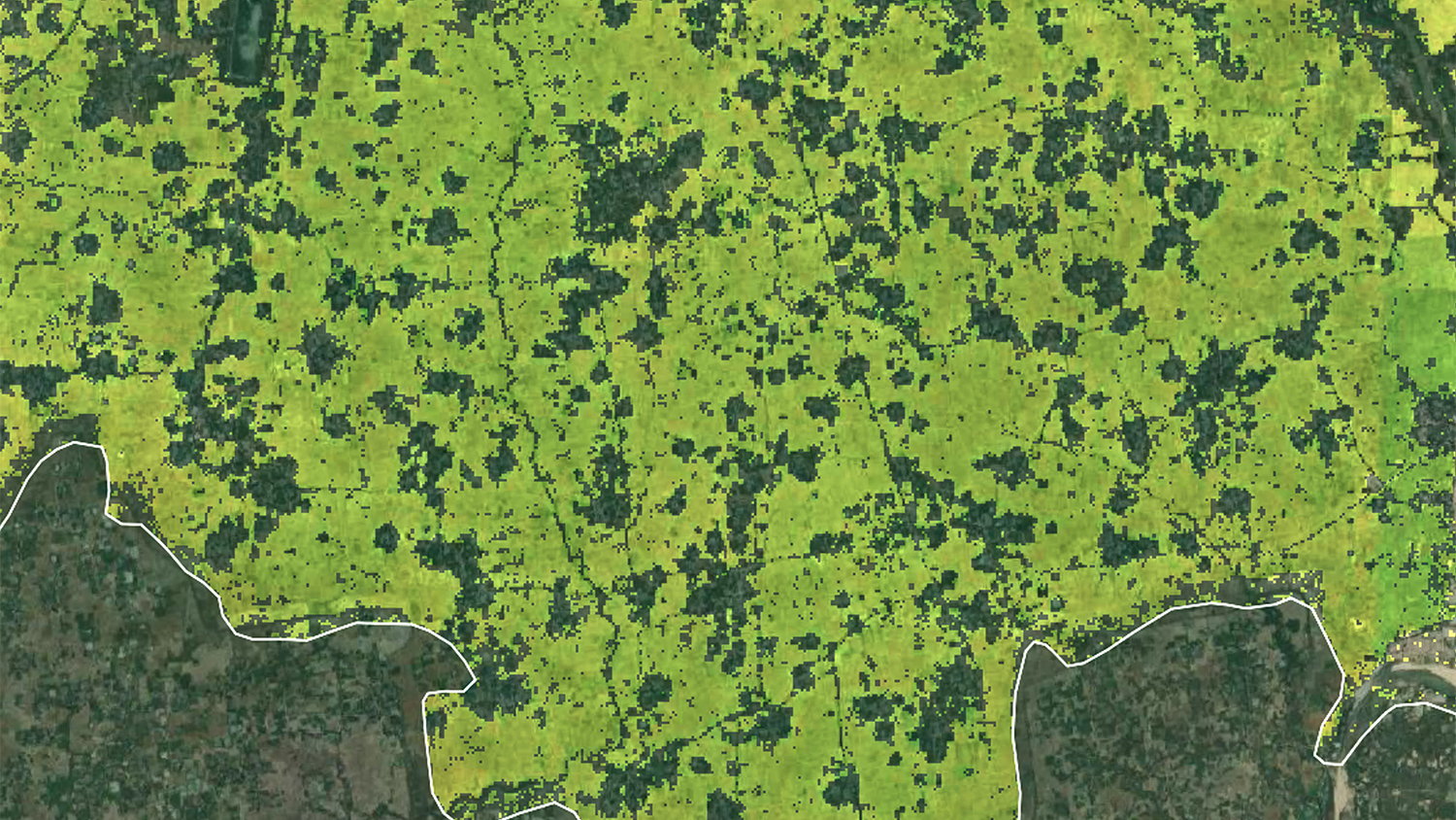
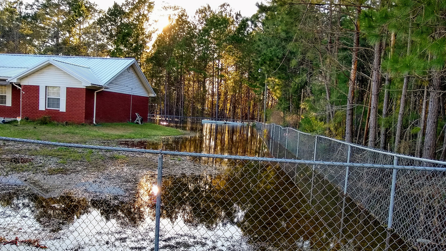
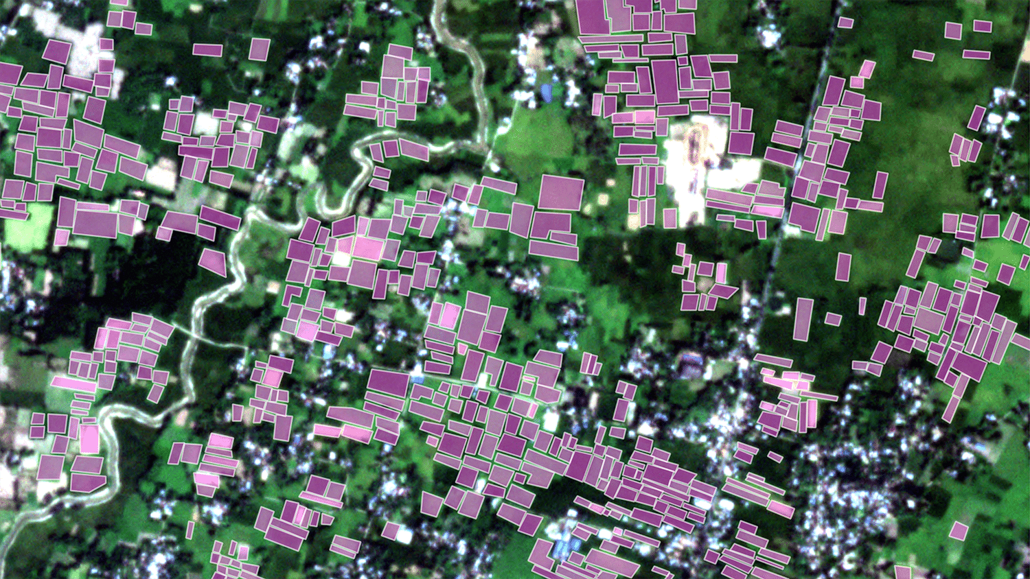
During the Spring 2024 semester, our graduating professional master’s students worked with industry, government and nonprofit partners to apply their knowledge and skills to pressing geospatial challenges.