Center Researchers Attend GRASS GIS Community Meeting in Czech Republic

The following post is by Geospatial Analytics Ph.D. student Caitlin Haedrich.
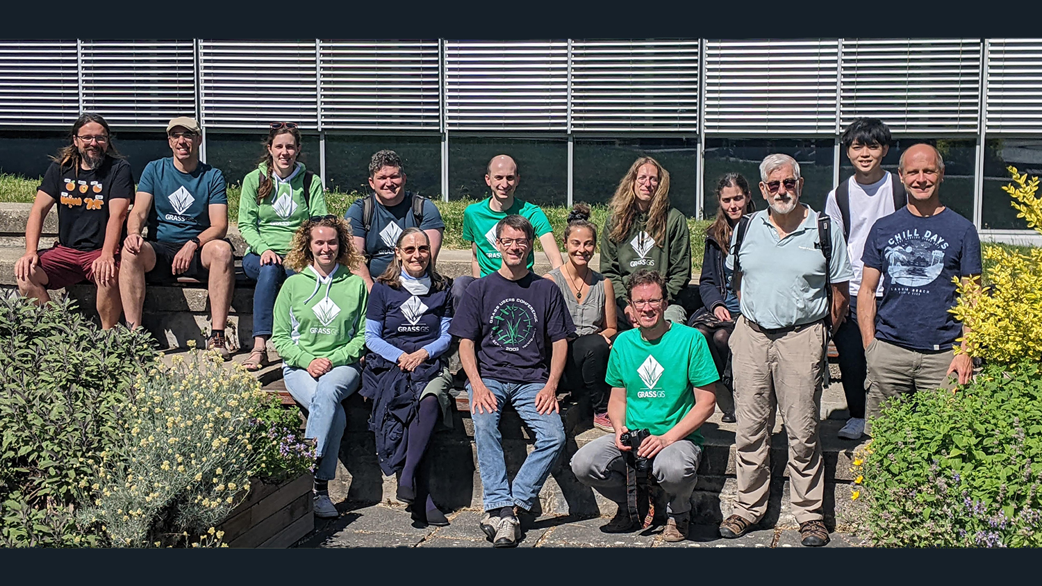
In celebration of GRASS GIS’s 40th birthday, developers and users from around the globe gathered in Prague, Czech Republic for the GRASS GIS Community Meeting in early June 2023. The week-long event was attended by five researchers from the Center of Geospatial Analytics, including Vaclav Petras and Anna Petrasova, two research software engineers who also serve on the GRASS GIS Project Steering Committee and helped organize the meeting. Helena Mitasova, associate director of the Center for Geospatial Analytics, also attended the meeting as a member of the Project Steering Committee, and Geospatial Analytics Ph.D. alum Corey White attended in his new role as founder of OpenPlains.
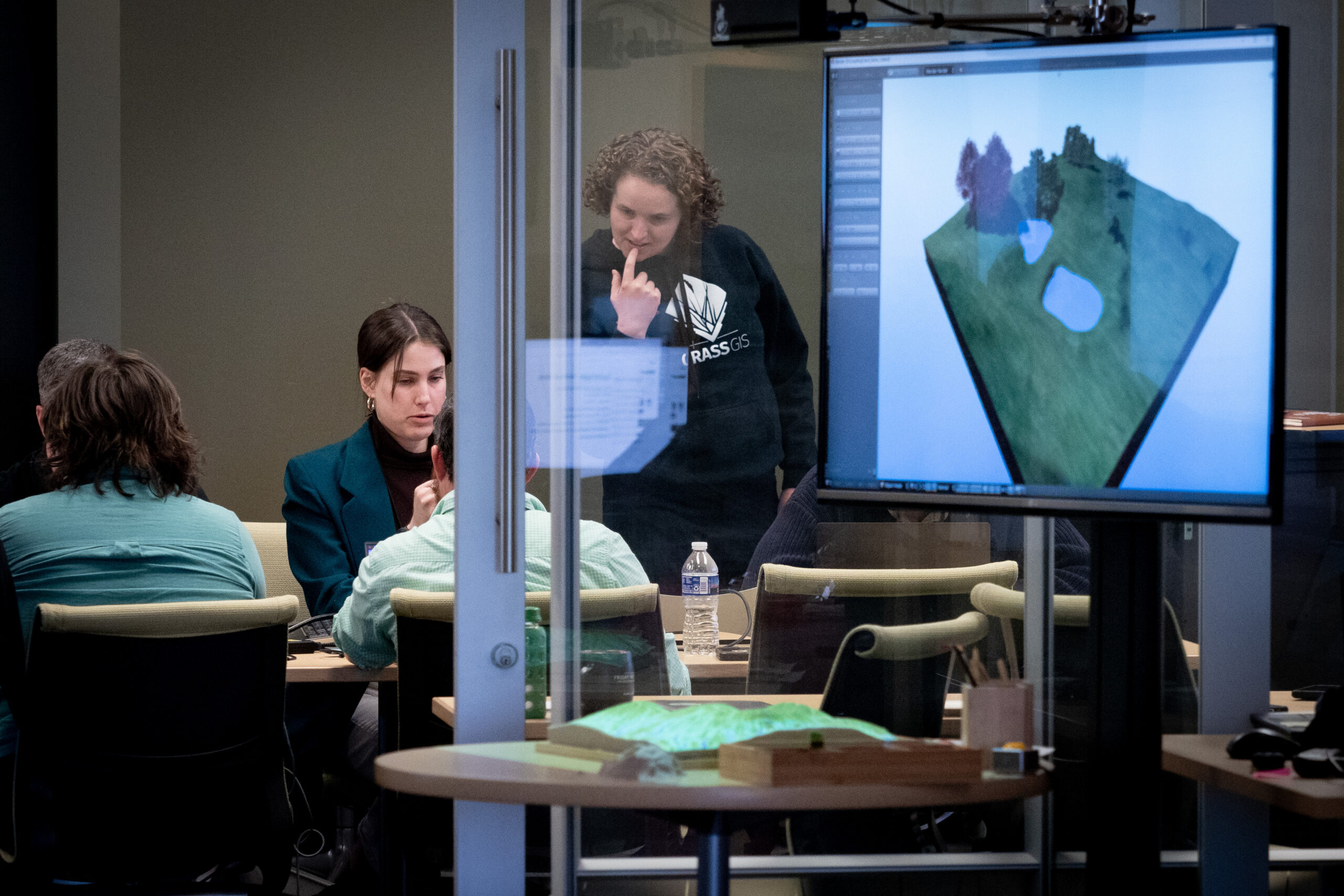
As a third-year student in the Geospatial Analytics Ph.D. program and a contributor to GRASS GIS, I also attended the meeting. We met at the Czech Technical University in Prague, where several researchers who work on GRASS GIS hosted all of us for the week. Most of my GRASS GIS contributions over the past few years have worked toward integrating GRASS GIS with Jupyter notebooks. During the meeting, I continued working on this, discussing how new features should be implemented, coding the features and receiving feedback. Each day, we met bright and early in the classroom for a day of coding, discussion and collaboration. We also had several meetings with other software developers who work on projects that integrate with GRASS GIS (QGIS and R).
Events like this are critical for the continuation and improvement of open source software projects like GRASS GIS. The week provided an opportunity to discuss future directions for the software and coordinate efforts to work on the code. During the community meeting, attendees also worked on the software code itself, doing a small code sprint which resulted in many improvements and bug fixes to the software. The event was made possible thanks to generous sponsorship from OSGeo, OSGeo Japan, FOSSGIS e.V. and many individual donors.
In addition to long days of hard work, we also got the chance to get to know each other as we stayed in Prague. For some of us, this was the first time meeting some of our online collaborators in person. We often dined together during the evening, and on Saturday afternoon we even took a hike together to a beautiful nearby village. It was great to get to know more experienced developers and to make connections with people that I knew previously only from online interactions.
Photo Gallery
Click a thumbnail image below to expand:


