Center Ph.D. Students Teach GRASS GIS for Coastal Hazard Analysis at International Conference
The following post is by Geospatial Analytics Ph.D. students Pratikshya Regmi and Caitlin Haedrich.
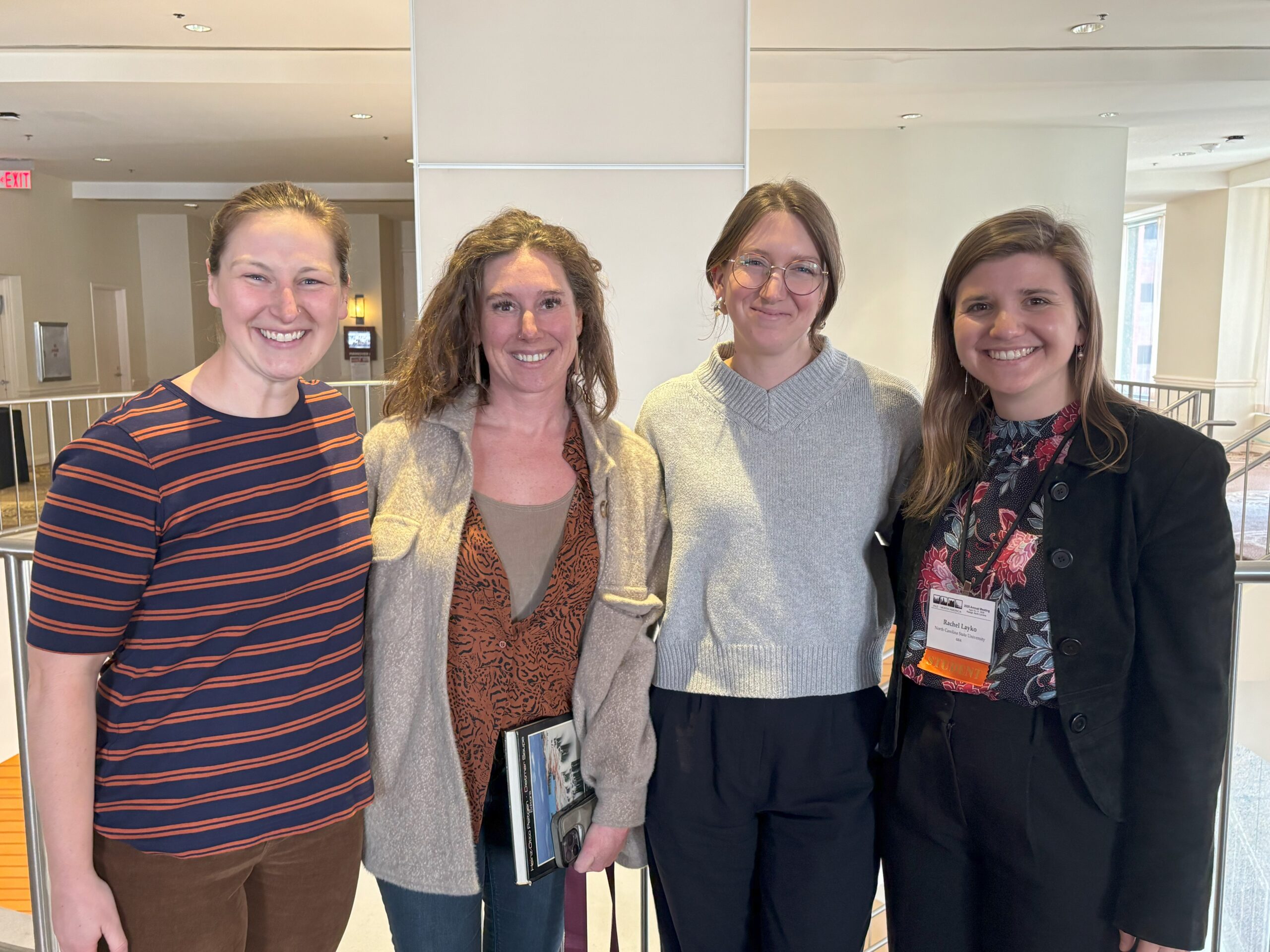
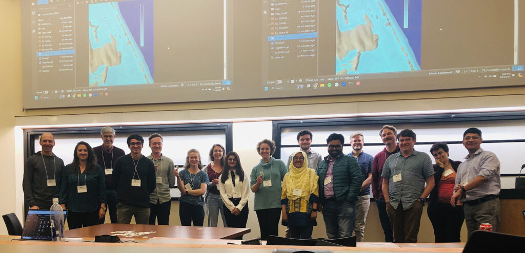
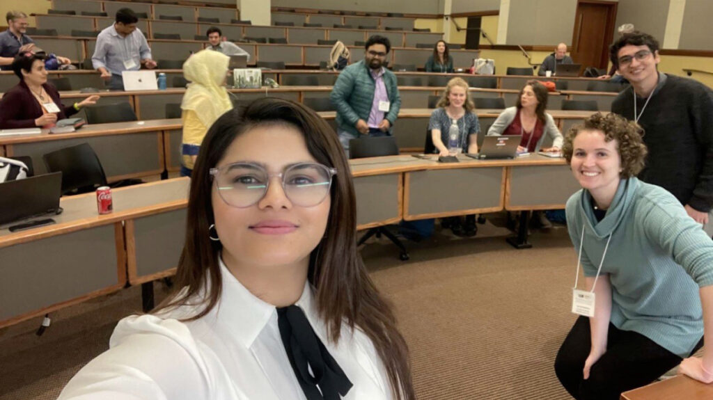
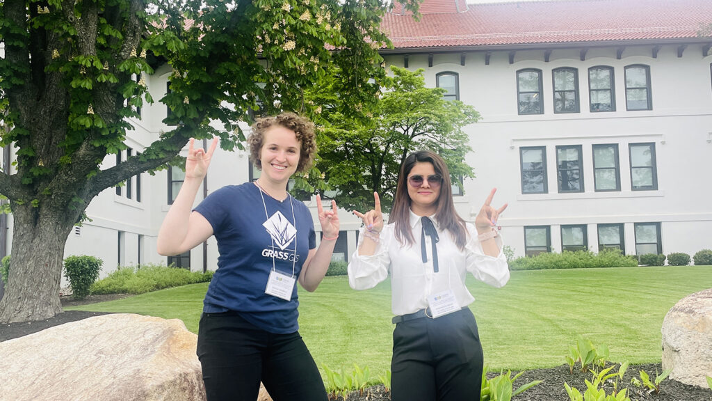
In May, Center for Geospatial Analytics Ph.D. students Pratikshya Regmi and Caitlin Haedrich attended the CSDMS (Community Surface Dynamics Modeling System) 2024 Annual Meeting. The meeting, held at Montclair State University in New Jersey, featured plenary sessions, state-of-the-art keynote presentations on Earth-surface dynamics, hands-on clinics on community models and tools, transformative software products designed for accessibility and relevance, as well as breakout sessions and poster presentations.
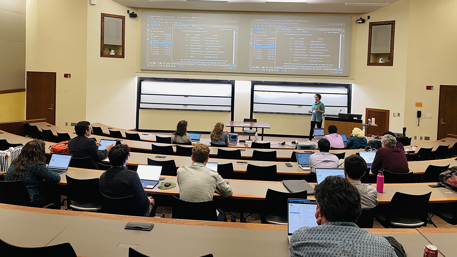
Among the highlights was a two-hour clinic hosted by Regmi and Haedrich titled “Coastal Evolution Analysis and Inundation Modeling with GRASS GIS.” This clinic provided participants with practical training in the use of GRASS GIS tools for coastal hazards analysis, including flooding and coastal evolution. Starting with an introduction to GRASS GIS software, the clinic featured a hands-on tutorial that utilized a LiDAR time series of Jockey’s Ridge State Park, North Carolina, to explore coastal evolution. The session also covered inundation and flood modeling tools available within GRASS GIS, using a cloud-based JupyterHub environment to facilitate the execution of Jupyter Notebooks. This allowed for real-time, interactive learning with 2D, 3D, web map, and temporal visualizations.
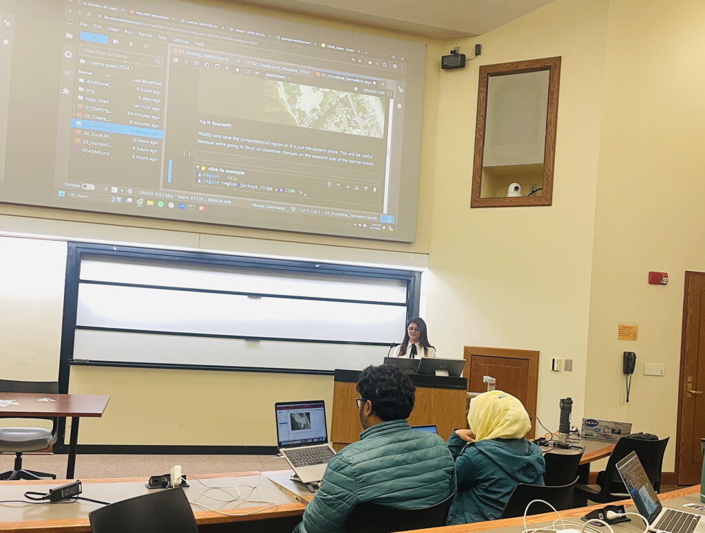
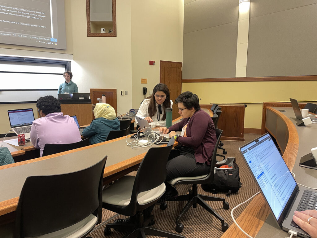
Participants gained hands-on experience in setting up GRASS GIS projects, importing data, creating high-quality digital elevation models (DEMs) from LiDAR point clouds, computing topographic parameters, deriving shorelines, animating dune migration over time, and generating simplified storm surge inundation time series.
The clinic was not only a learning opportunity but also a platform for networking with researchers from across the United States with attendees spanning government, academia and research institutions. These connections will help foster the Center’s ongoing collaboration with CSDMS and the broader scientific community to create findable, accessible, interoperable and reusable (FAIR) scientific software in the Earth sciences. Check out the materials on GitHub and stay tuned for more GRASS GIS news!
- Categories: