All News

The Memorial Belltower at North Carolina State University on a spring day

Apr 12, 2017

Center Graduate Students Inducted into Forestry Honor Society
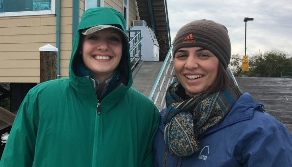
Four students from the Center for Geospatial Analytics were recently inducted into Xi Sigma Pi, the Forestry Honor Society, during the local chapter’s 77th annual banquet held at the NC…

Megan Amanatides and Christiana Ades before going out for fieldwork in the Sacramento San-Joaquin Delta in California.

Apr 12, 2017

Center Master’s Students Recognized for Their Work in Remote Sensing
Two center graduate students were recently awarded valuable scholarships recognizing their research and academic excellence. Megan Amanatides has won the 2017 Scholarship Award from the North Carolina Association for Environmental Professionals…

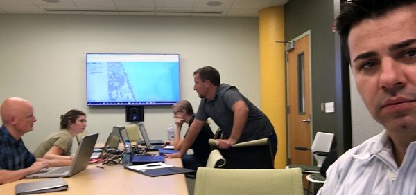
Okan Pala looks on as students collaborate during a simulated drill in a disaster management class at the North Carolina State University Center for Geospatial Analytics

Apr 10, 2017

Disaster Response Drill Trains Next Generation of GIS Professionals

When disasters strike, it’s important to be prepared. Responses can hinge on the ability of skilled, agile GIS teams to swiftly map and communicate the locations of impacts, for decision-makers…

A user in an immersive virtual environment resembling a city

Mar 28, 2017

Revealing the Research Possibilities of Virtual Reality

Imagine you are standing in a downtown city plaza, surrounded by tall buildings, steel sculptures, and storefronts. Perhaps it’s your lunch break, and you’ve come to the plaza to take…

A photo of Jason Matney

Mar 22, 2017

Ph.D. Student Jason Matney Accepted to 2017 UCGIS Summer School
Center Ph.D. student Jason Matney (Dept. of Forestry and Environmental Resources) has been accepted to attend a select training program in CyberGIS held at the University of Illinois at Urbana-Champaign…

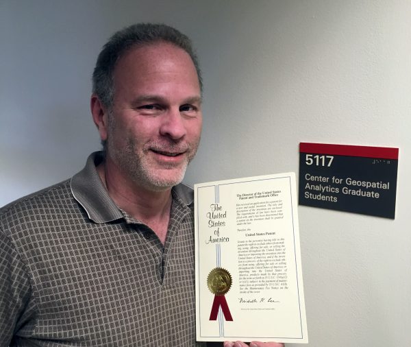
Paul Schrum holding his newly granted patent at the North Carolina State University Center for Geospatial Analytics

Mar 9, 2017

MGIST Student Paul Schrum Awarded Patent to Improve Roadway Design

Professional Engineer and Center for Geospatial Analytics graduate student Paul Schrum recently patented an innovative approach to roadway design that will make developing and visualizing roadway plans a lot more…

A photo of Prague

Feb 28, 2017

Growing Globally: Eric Money to Scout Collaboration Potential in Prague

Dr. Eric Money, the Center for Geospatial Analytics’ associate director of professional education, is about to embark on a very special Spring Break: one week at NC State’s Prague Institute…

A photo of a man holding a CFL lightbulb

Jan 24, 2017

Helping North Carolinians Save Money on Energy
Researchers at the Center for Geospatial Analytics are collaborating with government, university, and industry partners to reduce burdens on low-income households facing high energy costs through a recent grant from the Department of Energy.

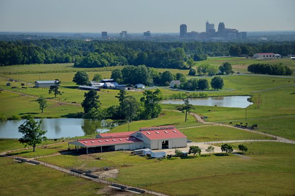
A photo pastures and the Beef Unit barn at North Carolina State University with downtown Raleigh in background

Jan 10, 2017

Can Forests Slow Urban Sprawl?

Urban areas across the United States are growing quickly, often removing surrounding farmland and forest resources. Rapid urbanization with low density sprawl presents numerous challenges to achieving healthy resilient communities,…

A photo of a student helping construct a new home for Habitat for Humanity.

Jan 4, 2017

NC State Caldwell Fellows Use GIS to Help Habitat for Humanity

Training in Geospatial Information Science (GIS) from the Center for Geospatial Analytics is empowering NC State undergrads to help Habitat for Humanity of Wake County provide more affordable housing in…