Mar 28, 2017
Revealing the Research Possibilities of Virtual Reality
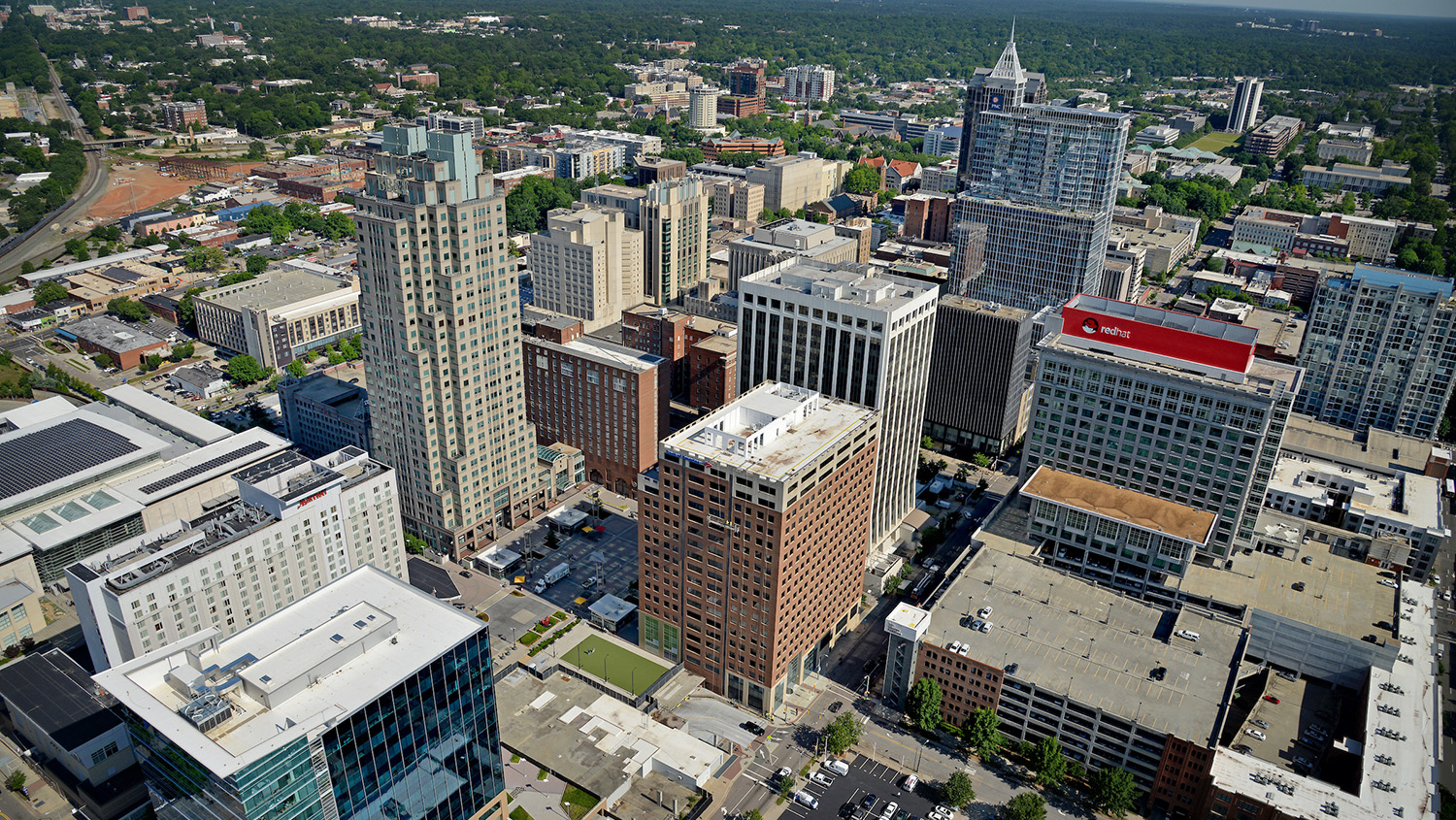
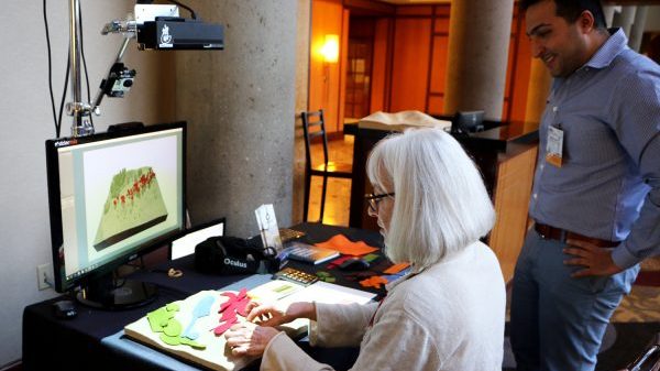
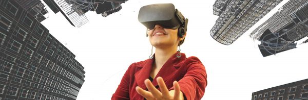
Imagine you are standing in a downtown city plaza, surrounded by tall buildings, steel sculptures, and storefronts. Perhaps it’s your lunch break, and you’ve come to the plaza to take…