
Megan Skrip

data analysis

Oct 24, 2018

The Value of a Geospatial Analytics Education

It’s graduate school application season! Find out where the Center for Geospatial Analytics stands when it comes to providing an exemplary doctoral education.

Stacy Supak explains a map from her research

Oct 17, 2018

Enhancing the Online Learning Experience

Stacy Supak specializes in online learning and teaches half of the student credit hours at the Center for Geospatial Analytics. As a DELTA Faculty Fellow, she will investigate how experiences in online courses influence student success.

flood map of North Carolina

Oct 12, 2018

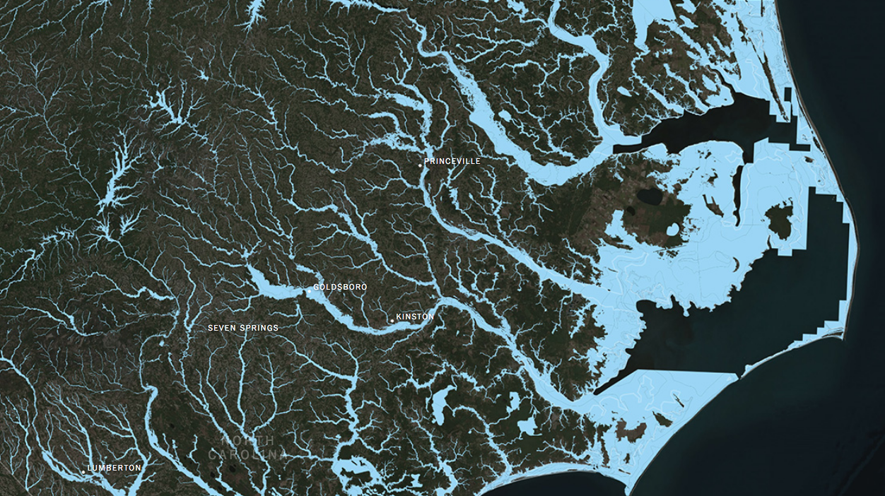
Decimated by Hurricanes, Rural America Needs Our Help

In an opinion piece to The New York Times, Faculty Fellows Andy Fox and David Hill, co-directors of NC State's Coastal Dynamics Design Lab, describe the need for a shift from reactive to proactive approaches to disaster response.

game interface that shows a range of colorful buildings in an imaginary city

Sep 19, 2018

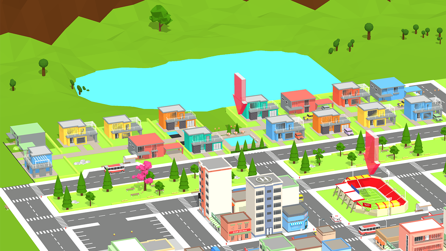
Learning through Play with a City’s Built-in Math

A new collaboration between the Center for Geospatial Analytics and College of Education will use games and urban design to teach mathematics in middle school classrooms.

Architectural detail

Sep 14, 2018

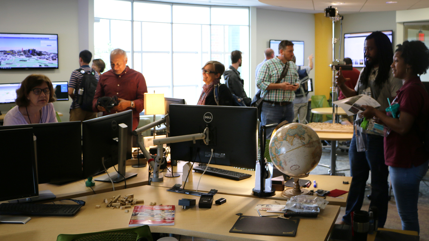
Catching Up With Summertime Scholars

Three of our exceptional professional master’s students share their summer experiences as interns and volunteers performing geospatial research.

Accepting the SAG award from Esri

Jul 31, 2018

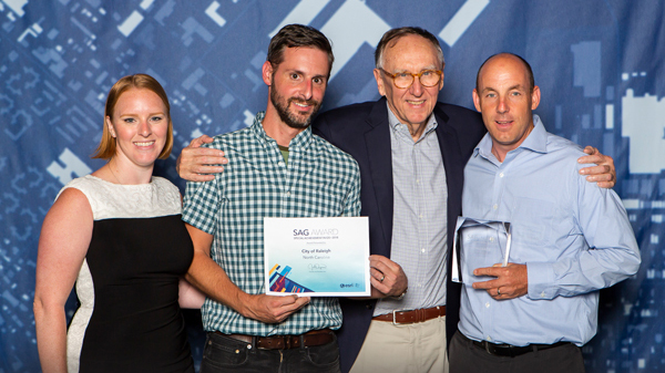
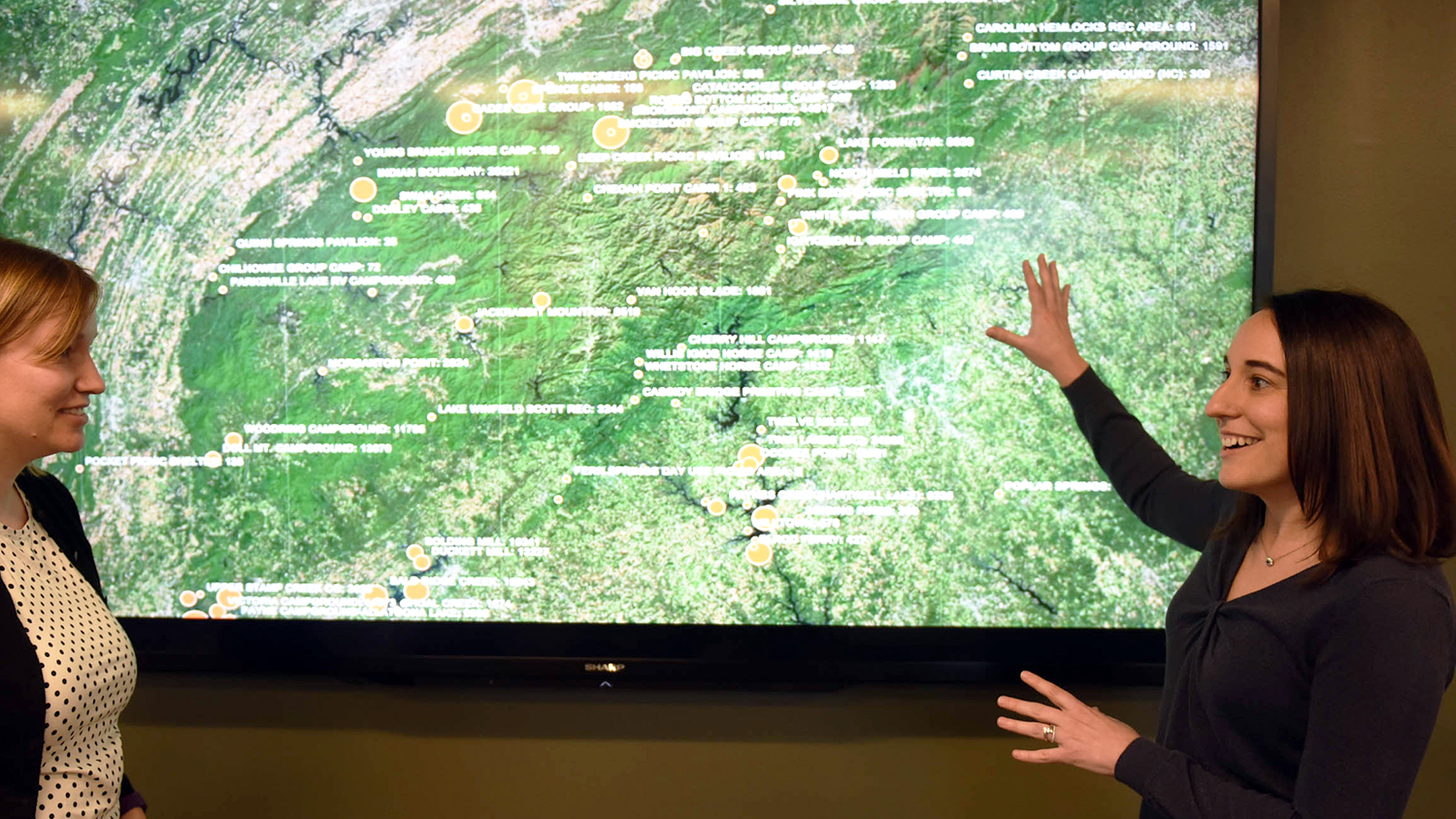
InVision Raleigh Collaboration Wins Special Achievement in GIS Award

A groundbreaking collaboration between the Center for Geospatial Analytics and City of Raleigh is one of this year’s honorees.

Tangible Landscape system with 3-D imagery

Jul 17, 2018

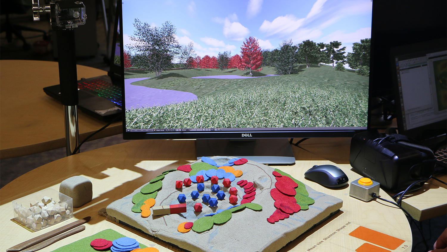
Second Edition of Tangible Modeling Book Released

Newly released this summer, the second edition of Tangible Modeling with Open Source GIS provides new tools for running powerful geospatial simulations with physical models and 3-D imagery.

Rachel Kasten chats with Rob Scheller and Karl Wegmann

Jul 2, 2018

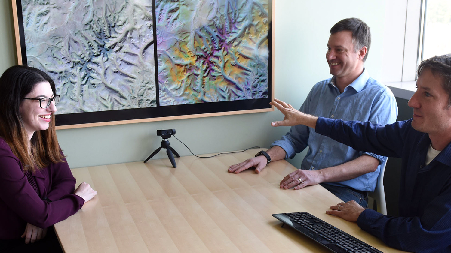
Meet Rachel Kasten, Graduate Services Coordinator

At the Center for Geospatial Analytics, Rachel Kasten helps students navigate their doctoral program and works to keep the center running smoothly. Learn how she is also helping to build a more inclusive culture on campus.

A photo of a woman using a drone for the Center for Geospatial Analytics

Jul 2, 2018

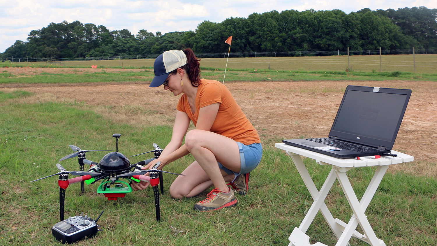
Taking Flight with Drone Research

Winner of a 2018 NASA/NC Space Grant Graduate Research Fellowship, incoming Geospatial Analytics Ph.D. student Kellyn Montgomery is launching an innovative study of crop health this summer.

NC ArcGIS Users Group members gather in the Geovisualization Lab

Jun 13, 2018

What It Means To Be an EDC

As an Esri Development Center, the Center for Geospatial Analytics works at the frontiers of ArcGIS technology and builds collaborations to continually advance the student experience.