
Megan Skrip

Payam Tabrizian wears a virtual reality headset

Apr 2, 2018

Ready Player Two: Virtual Reality in the Geospatial Sciences

Ph.D. student Payam Tabrizian uses virtual reality and geospatial analytics to learn about human cognition and advance landscape design. We asked him about his current research and his predictions for the future of the field.

aerial view of suburban homes

Mar 27, 2018

New Research Shows Water Use Impacted by the Shape of Our Cities

Georgina Sanchez, Ph.D. student in the Department of Forestry and Environmental Resources, is using geospatial analytics to understand water demand in the Southeast. Her latest findings: urban developments with simpler shapes use less water.

Ashwin with colleagues

Mar 22, 2018

Ashwin Shashidharan Is NC State’s 2018 Esri Development Center Student of the Year

The Center for Geospatial Analytics joined an elite group of worldwide university departments last fall when it was named an Esri Development Center. Congratulations to our first EDC Student of the Year: doctoral student Ashwin Shashidharan.

Devon Gaydos

Mar 22, 2018

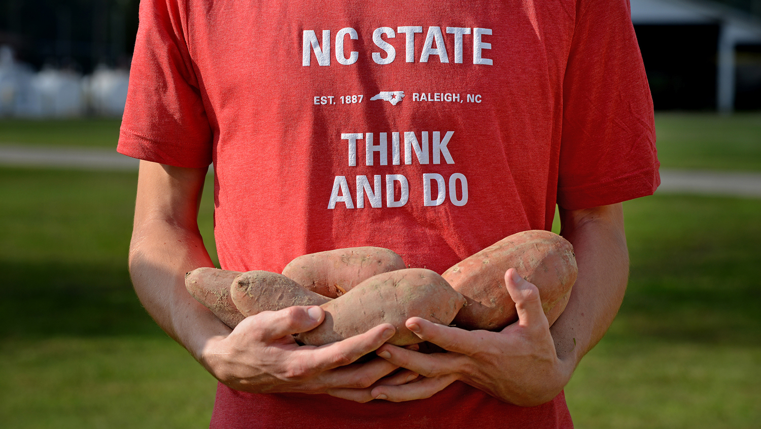
Global Change Fellow Spotlight: Devon Gaydos

Every year the Southeast Climate Science Center funds a multi-disciplinary cohort of Global Change Fellows representing colleges across NC State University. Catch up with Spring 2018 Fellow and Center for Geospatial Analytics Ph.D. student Devon Gaydos and learn more about her applied research in forest health.

Justin Shedd points at geospatial data on a computer screen

Mar 14, 2018

National Park Service Honors Center Web Mapping Team

The National Park Service recognized a Center for Geospatial Analytics team led by research associate Justin Shedd for collaboratively developing web maps that integrate data across parks in the Mid-Atlantic.

a student listens in class

Feb 22, 2018

A Focus on Geospatial Ethics

Guest speakers from around the Triangle area of North Carolina participated in the Center for Geospatial Analytics' first Geospatial Ethics Panel discussion, sharing their experiences with students in the Master of Geospatial Information Science and Technology program.

Landscape Architecture students interact with Tangible Landscape

Feb 9, 2018

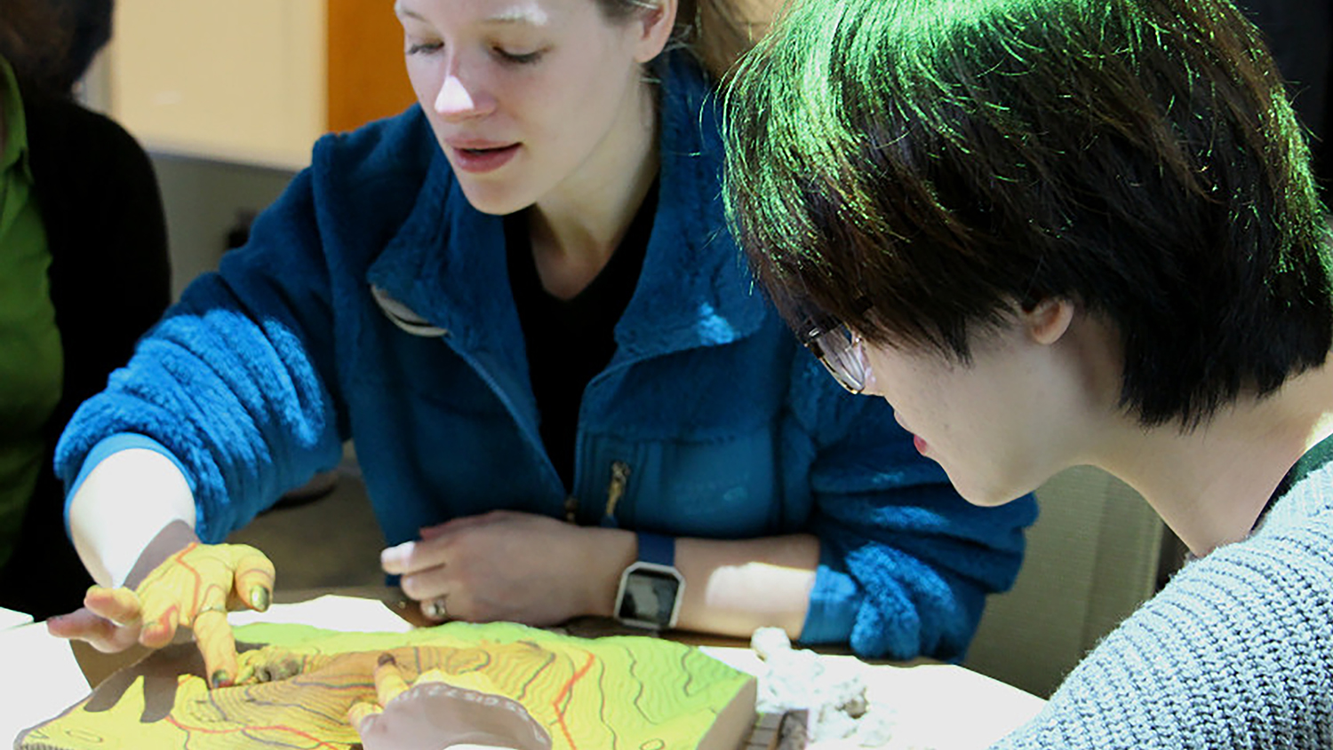
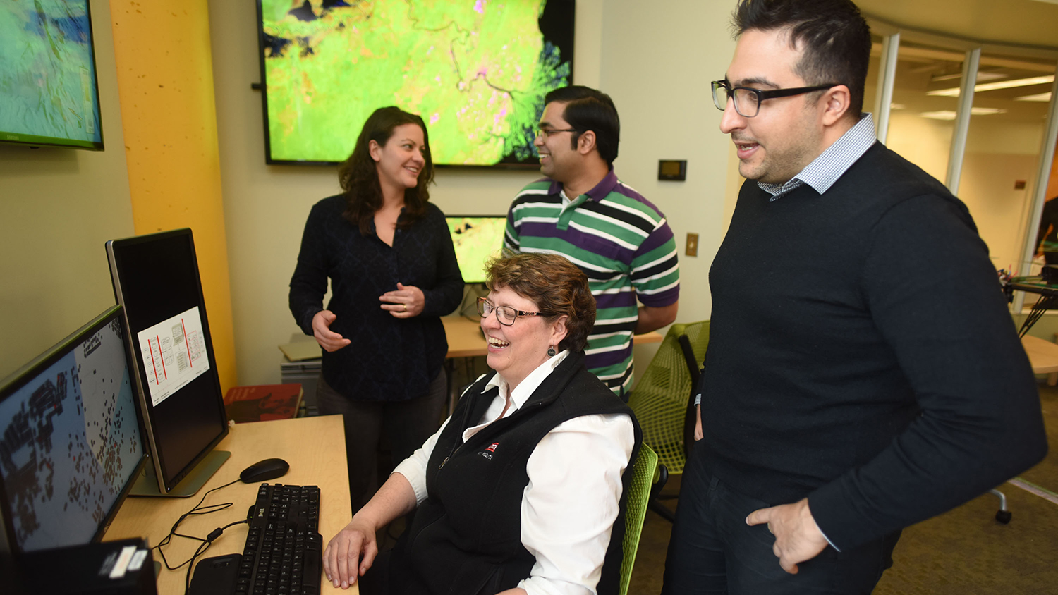
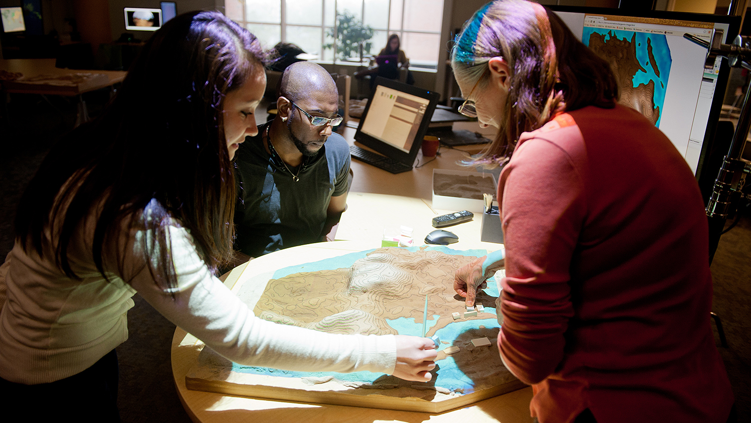
Tangible Landscape Research Honored by International Computer-Human Interaction Conference

Research led by Geospatial Analytics doctoral student Garrett Millar was ranked among the top 5% of papers submitted to the 2018 ACM SIGCHI Conference on Human Factors in Computing Systems, the premier international conference for Human-Computer Interaction.

students in UAS graduate course

Feb 7, 2018

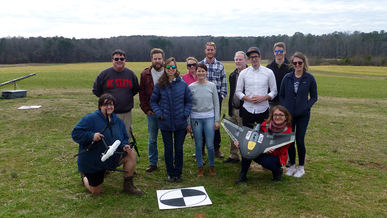
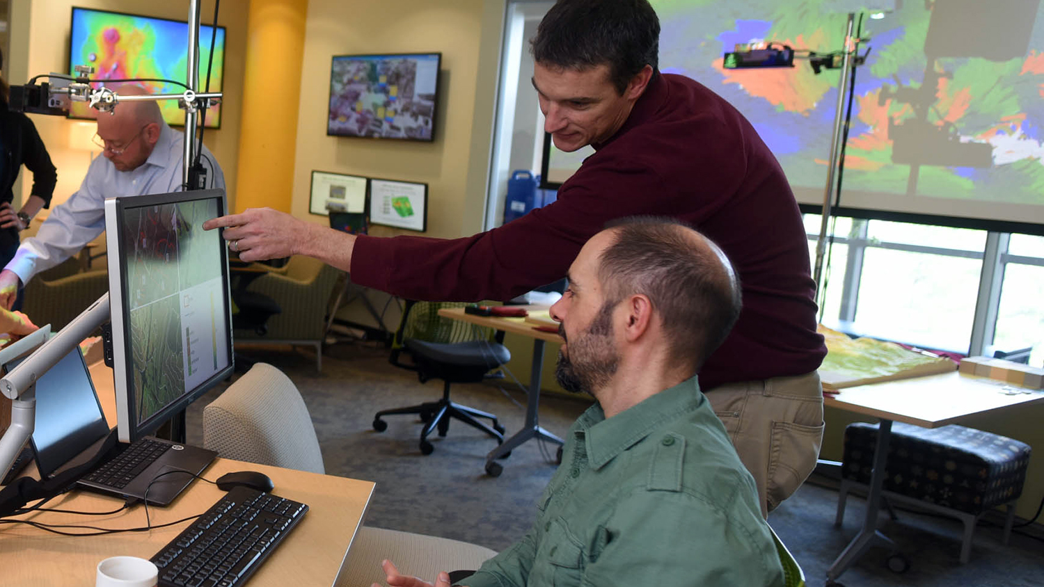
For Drone Research and Training at NC State, the Sky’s the Limit

Looking for opportunities to expand your expertise in Unmanned Aerial Systems? Find what you're searching for with the Center for Geospatial Analytics’ graduate courses, workshops, and UAS research programs.

CNR Graduate Research Symposium

Feb 5, 2018

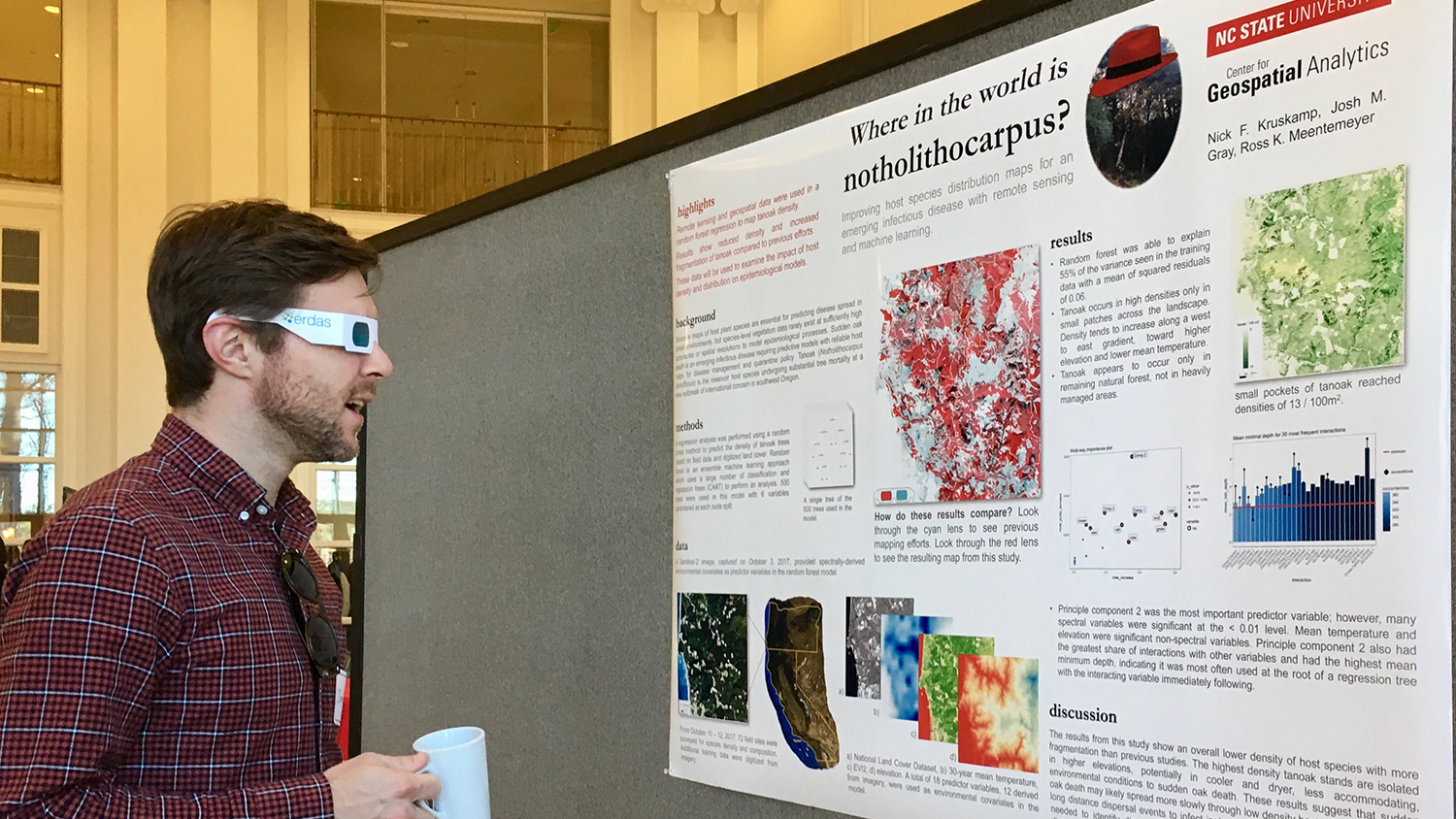
Center Scholars Win Three of Four Prizes in Research Poster Competition

Center for Geospatial Analytics postdoctoral researcher Krishna Singh and doctoral students Georgina Sanchez and Nicholas Kruskamp swept three of the top four prizes in the research poster competition at the recent CNR Graduate Research Symposium.

students and mentor work with Tangible Landscape

Jan 25, 2018

New STEM Program to Connect High Schoolers with Geospatial Tech and Careers
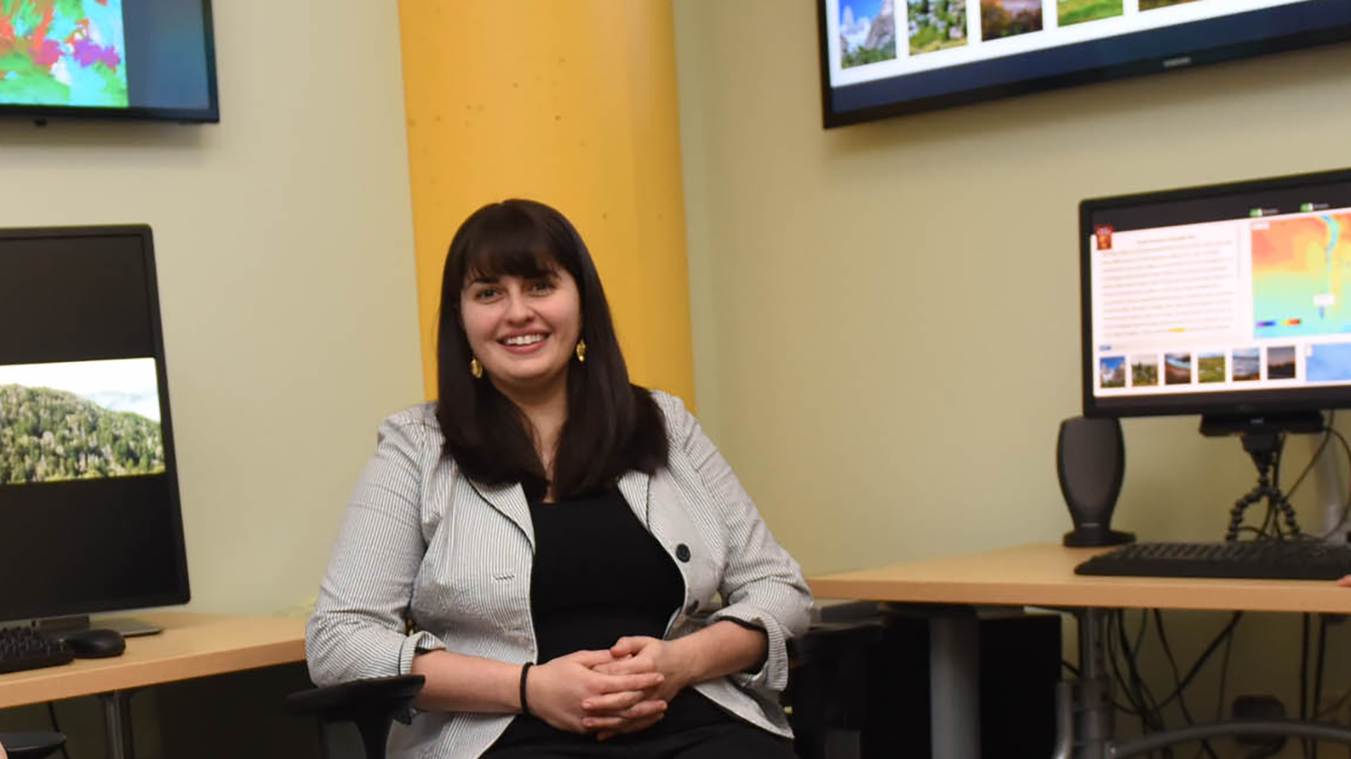
Applications are now being accepted for a new, free program for high school students looking to explore geospatial science and cutting-edge technologies, starting March 10.