Staff

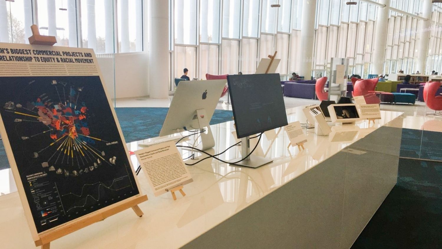
Monitors and a data visualization map displayed on a counter in Hunt library, windows in background

May 9, 2022

NC State Students Host Exhibition to Celebrate W.E.B. Du Bois’ Visualization Work
The exhibition features a variety of research and data visualization inspired by Du Bois's work.

NC State student Katie Kolcusky - Graduation to Vocation: Katie Kolcusky is Using Data to Support Policy - College of Natural Resources News - NC State University

May 5, 2022

Graduation to Vocation: Katie Kolcusky is Using Data to Protect Nature

Upon graduation, MGIST student Katie Kolcusky will begin work as a solution engineer with Esri's National Government Team.

Aerial of forests in Great Smoky Mountains - Center for Geospatial Analytics at NC State University

Mar 3, 2022

During Droughts, Thirstier Mountain Forests Could Mean Less Water Downstream
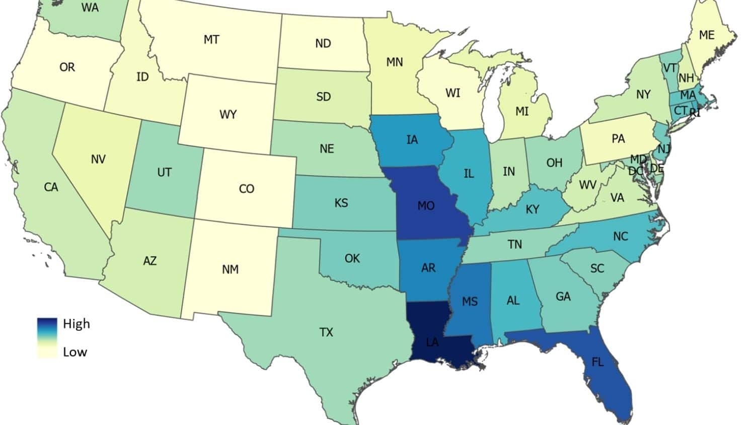
Research led by Geospatial Analytics Ph.D. student Katie McQuillan finds increased water use by upstream mountain forests could leave less water for other forests, cities and wildlife during drought.

Map of the United States showing predicted average flood damage risk by state or district - Center for Geospatial Analytics at NC State University

Feb 22, 2022

Study: U.S. Flood Damage Risk Is Underestimated
A research team led by Geospatial Analytics Ph.D. student Elyssa Collins used artificial intelligence to predict where flood damage is likely to happen in the conterminous United States, suggesting that recent flood maps from the Federal Emergency Management Agency do not capture the full extent of flood risk.

Meredith DeMattina - MGIST Program Provides Solid Framework for Professional Growth - Center for Geospatial Analytics at NC State University
Nov 9, 2021

MGIST Program Provides Solid Framework for Professional Growth

Meredith DiMattina has a drive for going above and beyond. She shares how her determination for learning more led her to pursue a master’s degree in the online MGIST program and how it has impacted her career.

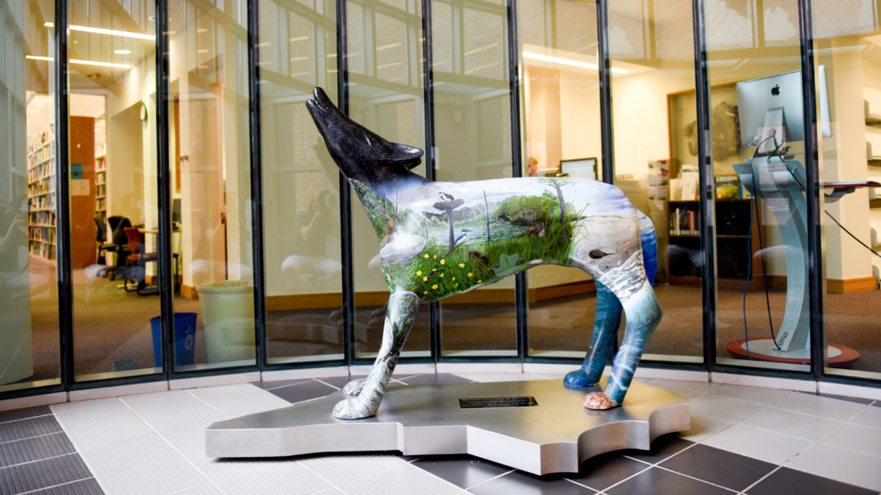
Statue - Master of Geospatial Information Science and Technology Student Pursues Higher Degree to Advance His Career - Center for Geospatial Analytics at NC State University

Jul 29, 2021

Master of Geospatial Information Science and Technology Student Pursues Higher Degree to Advance His Career
Peter Erlenbach has worked hard to achieve his master's degree while serving as a full-time solution engineer. Learn more about his experience in the online Master of Geospatial Information Science and Technology (MGIST) program.

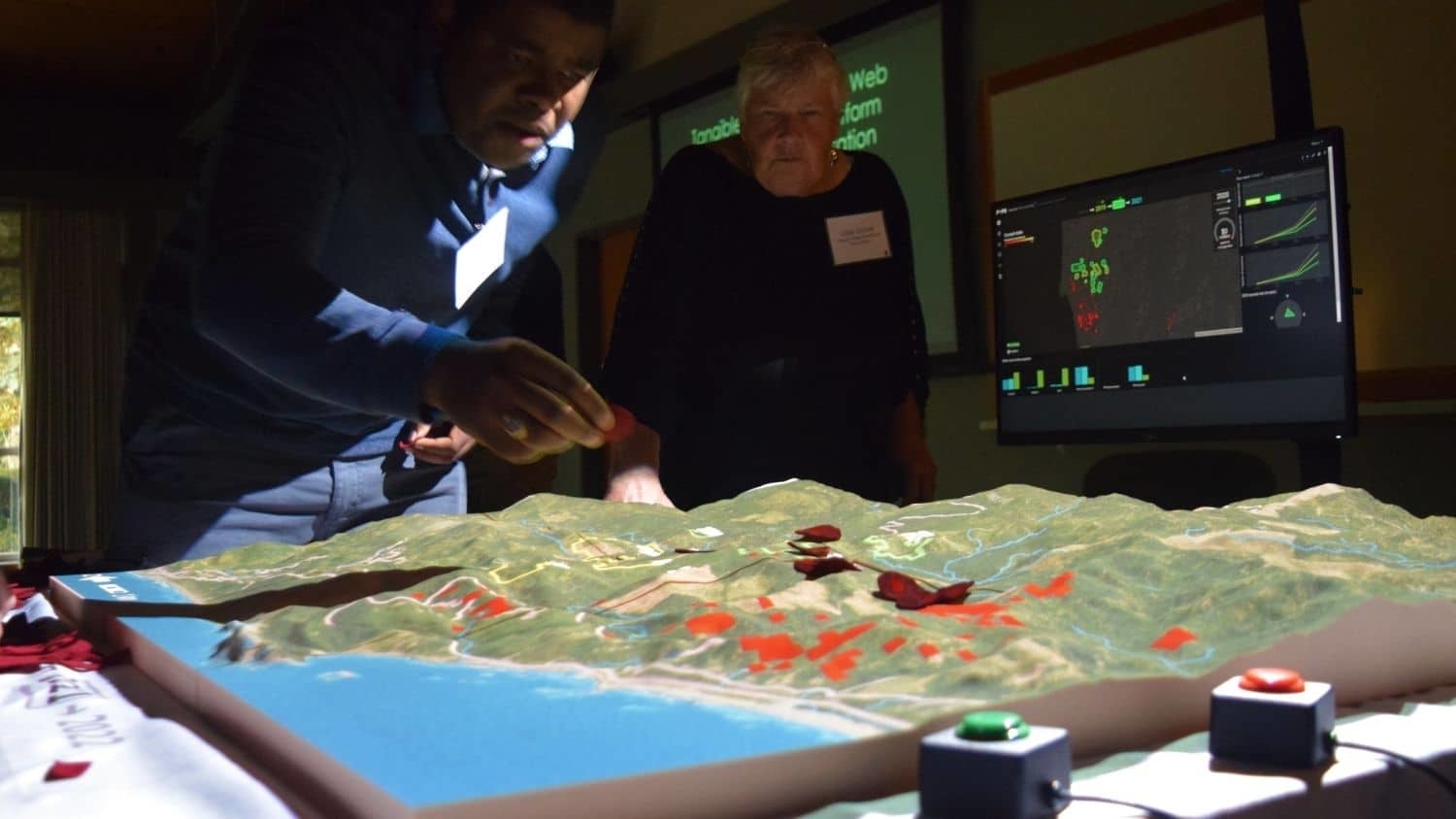
3D Map - Researchers Design Simulation Tool to Predict Disease, Pest Spread - Center for Geospatial Analytics at NC State University
Jun 3, 2021

Researchers Design Simulation Tool to Predict Disease, Pest Spread

A team led by Research Scholar Chris Jones developed a computer simulation tool called PoPS to predict pest and disease attacks on crops or forests, and to test when and where to apply pesticides or other management strategies to contain them.

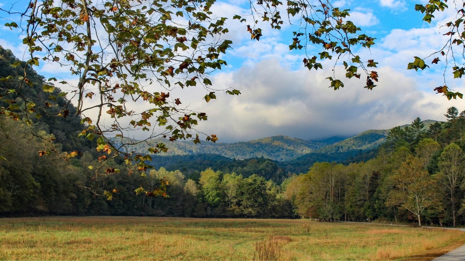
Great Smoky Mountains National Park - Center for Geospatial Analytics at NC State University

Mar 30, 2021

Analysis: Studies of U.S. National Parks Are Trending Down, Focused on Popular Parks
An analysis led by Faculty Fellow Jelena Vukomanovic finds that research conducted in U.S. national parks has focused largely on five iconic parks, and has dropped since 2013.

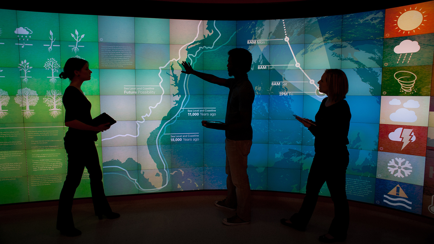
photo of students in front of graphics wall in Hunt Library. - Center for Geospatial Analytics at NC State University

Mar 25, 2021

NC State Launches Universitywide Data Science Academy
NC State announces a bold initiative to make data science accessible to the entire campus community.

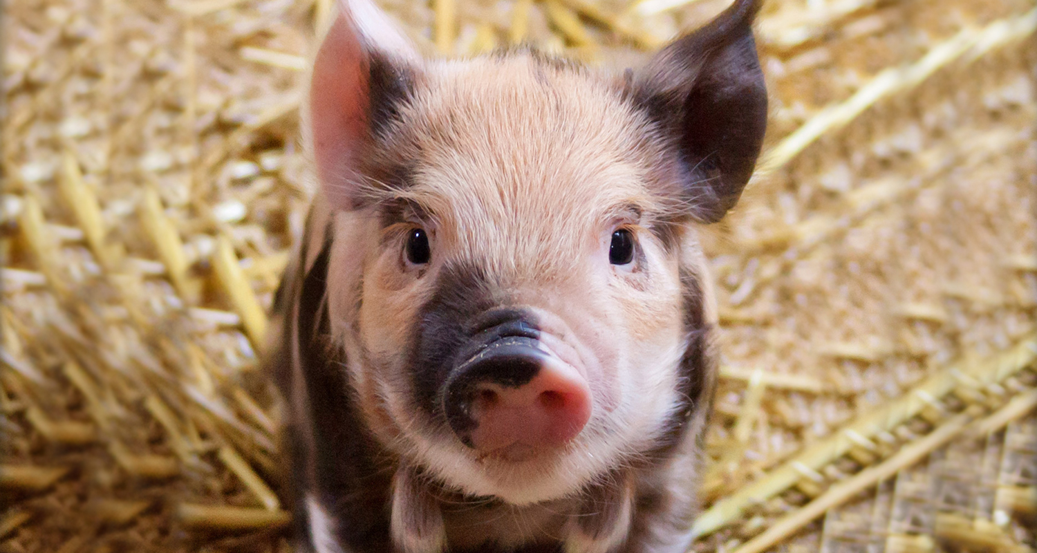
Cute piglet on straw - Multi-Model Approach Could Help Farmers Prepare for, Contain PEDV Outbreaks - Center for Geospatial Analytics at NC State University

Feb 12, 2021

Multi-Model Approach Could Help Farmers Prepare for, Contain PEDV Outbreaks

New research co-authored by Research Scholar Chris Jones and Faculty Fellow Gustavo Machado shows that a three-model approach could help farmers prevent the spread of PEDV in pigs. One of these models is the Center's signature PoPS (Pest or Pathogen Spread) model.