Aug 21, 2025
Summer Internship Spotlight: Titilayo Tajudeen, Weyerhaeuser Company
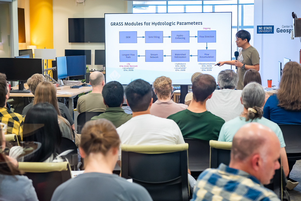
Tajudeen, a Geospatial Analytics Ph.D. student, spent the summer in Centralia, Washington as a Remote Sensing Intern with one of the world's largest forest product companies.