Jun 8, 2022
Forecasting the Arrival of an Insect Pest
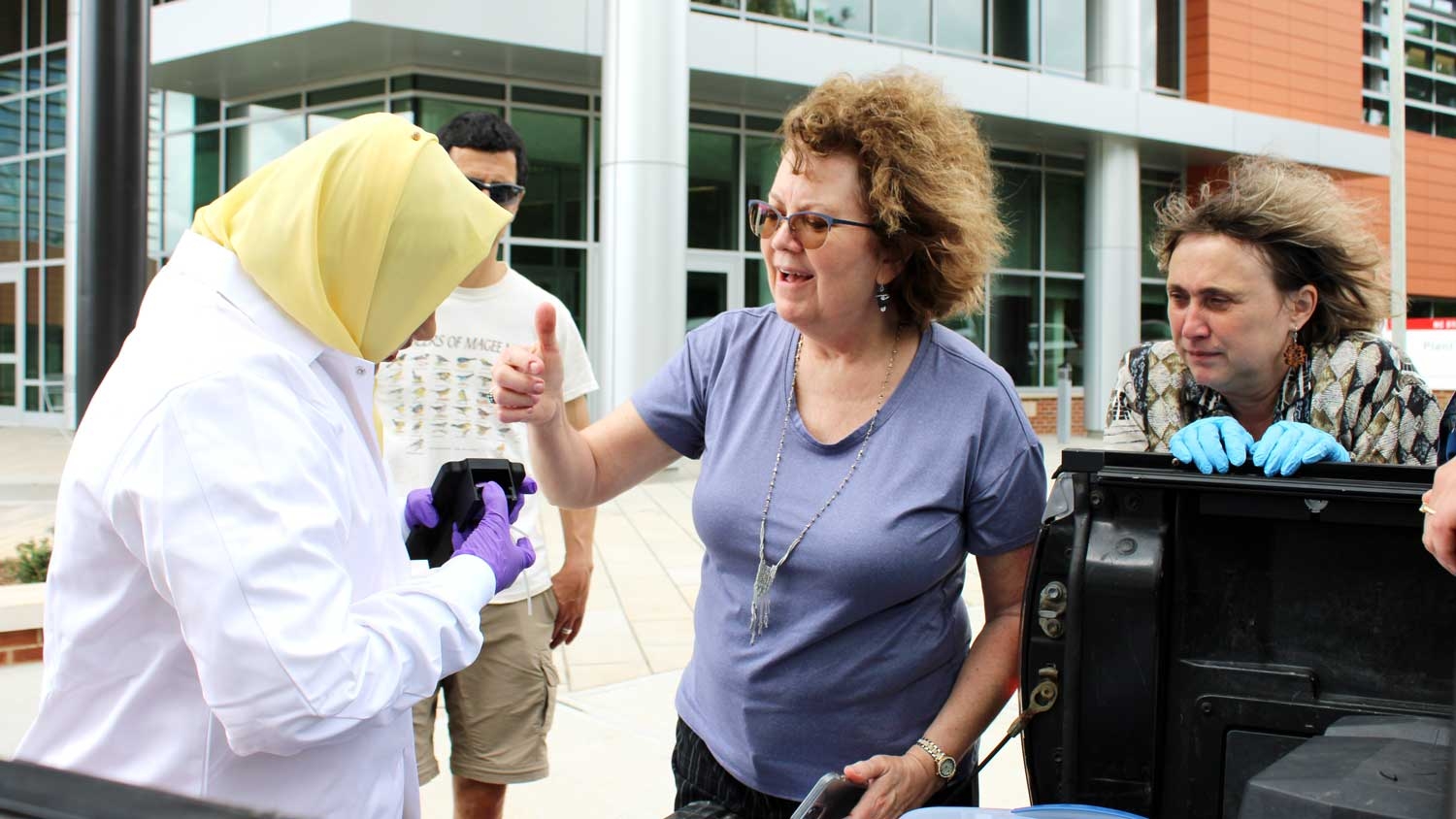
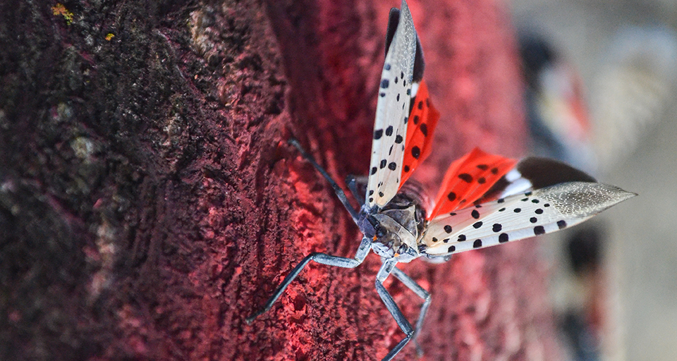
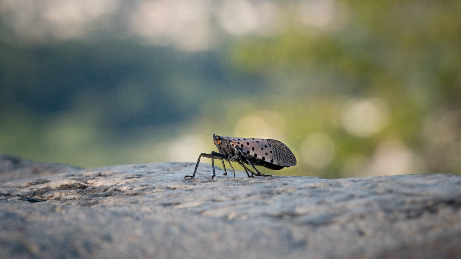
Invasive agricultural pests are a big problem, and the first step to preventing or minimizing their damage is determining whether an area is environmentally suitable for invasion. Predicting *when* a pest is likely to arrive, though, is just as important as anticipating *where*...