Jul 9, 2026
Center Researchers Help Lead a New GRASS Release Built for Python
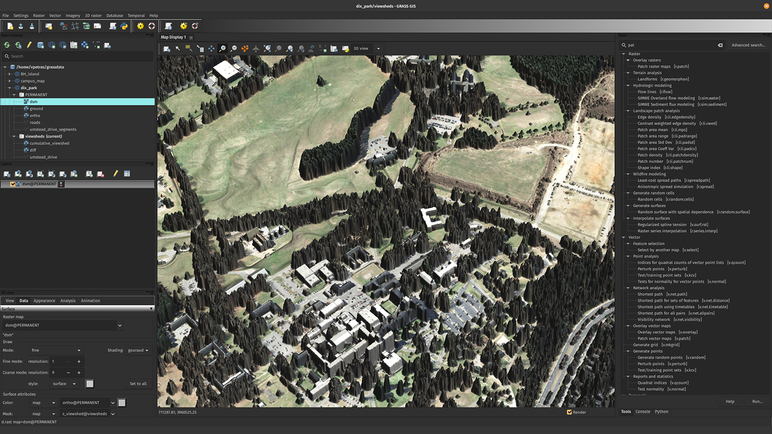
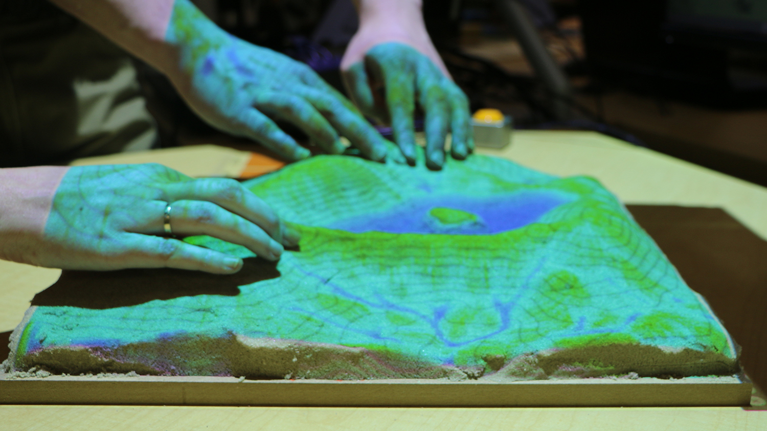
Editor’s note: This is a guest post by members of the GRASS community at the Center for Geospatial Analytics. The latest release of GRASS, version 8.5.0, is out, with researchers…