web mapping
Service Learning in Action
During their final semester, each master's student in Geospatial Information Science and Technology completes a service-learning capstone project.
NC State Caldwell Fellows Use GIS to Help Habitat for Humanity
Training in Geospatial Information Science (GIS) from the Center for Geospatial Analytics is empowering NC State undergrads to help Habitat for Humanity of Wake County provide more affordable housing in North Carolina. Six students in the NC State Caldwell Fellows […]
Solving Problems around the World, One Map at a Time
Master’s Capstone Projects Pair Service Learning and Geospatial Science The Center for Geospatial Analytics is celebrating this season the Fall 2016 graduation of 19 professional master’s students in Geospatial Information Science and Technology (MGIST)––one of the largest groups of graduates […]
Professional Master’s Student Helps with NC Disaster Recovery
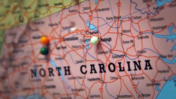
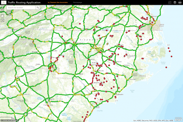
Editor’s note: The following is a guest post by James McCarter, a teaching associate professor at the Center for Geospatial Analytics. Because of Hurricane Matthew, North Carolina was hit with one of the worst utility outage events in their history. […]
Popular Web Map Inspires Community to Explore Shenandoah National Park’s Roots
A web app collaboratively developed by the center and the National Park Service (NPS) is connecting the modern world with Shenandoah’s past. “Exploring Park History – One Tract at a Time” is an interactive web-based mapping application that allows viewers […]