Jul 9, 2025
Caitlin Haedrich Pairs Research Passion with Cutting-Edge Geospatial Tools
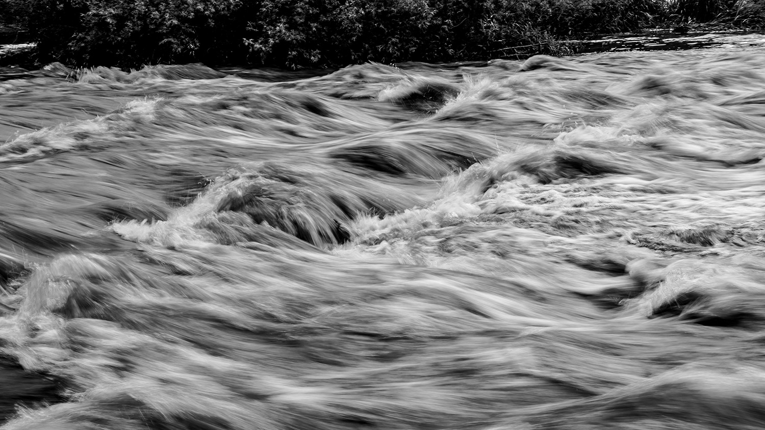
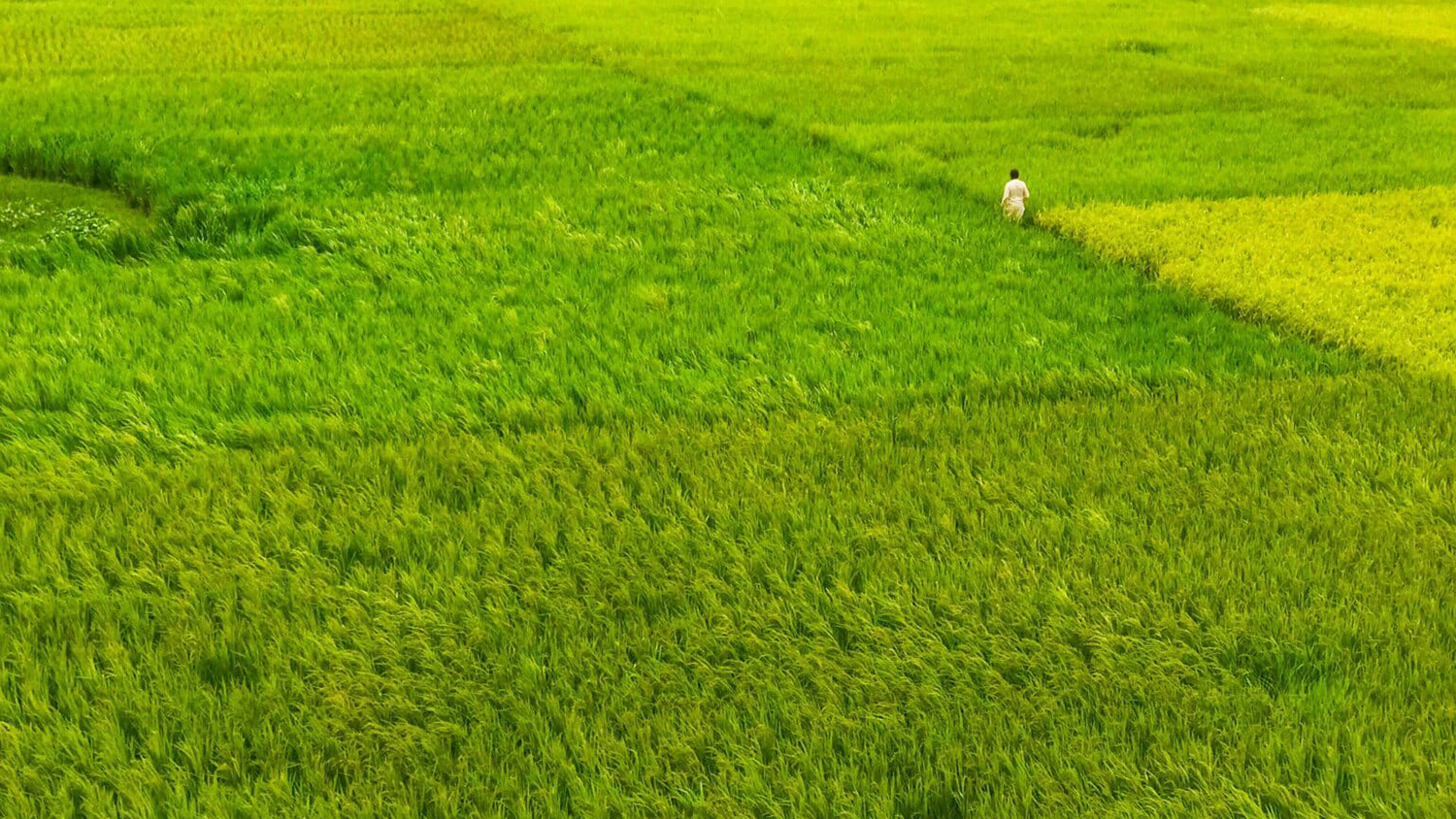
Haedrich is using tools like Tangible Landscape, a spatially augmented reality sandbox system, to help stakeholders understand the impacts of land use, flooding, sea level rise and more.